
| Distance / Altitude | Location | Report Date / Time | Live Weather | Wind | Gusts | Temp. | Visibility | Cloud |
|---|---|---|---|---|---|---|---|---|
| 45 km NW / 20 m | Yangon (Myanmar) | 2024-04-26 17:30 local (2024/04/26 11:00 GMT) | no report | calm (2 km/h at 250) | 40°C | 8 | - | |
| 48 km NW / 29 m | Mingaladon (Myanmar) | 2024-04-26 17:30 local (2024/04/26 11:00 GMT) | no report | light winds from the W (11 km/h at 270) | 38°C | 7 | - | |
| 48 km NW / 345 m | Yangon International Airport- Myanmar (Viet Nam) | 2024-04-26 17:00 local (2024/04/26 10:30 GMT) | - | light winds from the S (7 km/h at 170) | 36°C | 7.0 | few | |
| 72 km SW / 2 m | Phyapon (Myanmar) | 2024-04-26 16:50 local (2024/04/26 10:20 GMT) | no report | calm (4 km/h at 140) | 37°C | 8 | - | |
| 75 km W / 5 m | Maubin (Myanmar) | 2024-04-26 17:30 local (2024/04/26 11:00 GMT) | no report | wind obs. (6 kph from 220 degs) was rejected (- km/h at -) | 40°C | 10 | - |
| Contours: | Roads & Rivers: | Select a
tide station / surf break / city |

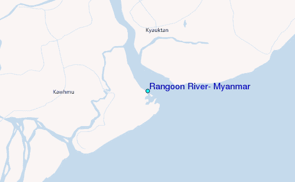
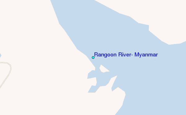
Use this relief map to navigate to tide stations, surf breaks and cities that are in the area of Rangoon River, Myanmar.
Other Nearby Locations' tide tables and tide charts to Rangoon River, Myanmar:
click location name for more details
 Surf breaks close to Rangoon River, Myanmar:
|
||
|---|---|---|
| Closest surf break | Prachuap Khiri Khan | 399 mi |
| Second closest surf break | Butlers Bay (South Andaman) | 407 mi |
| Third closest surf break | Corbyns Cove (South Andaman) | 411 mi |
| Fourth closest surf break | Bang Saphan | 424 mi |
| Fifth closest surf break | Mae Ram Phueng | 424 mi |

 Nearest
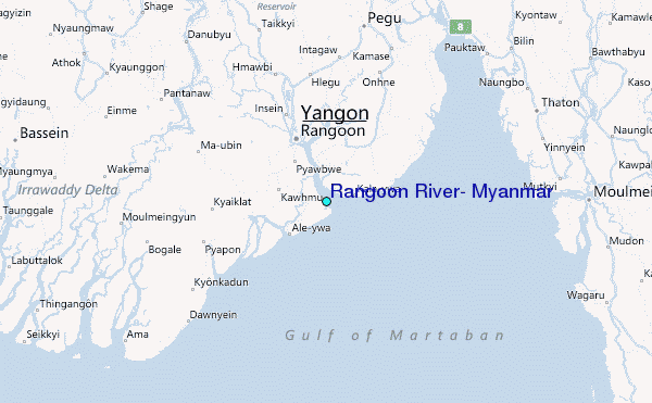