
| Distance / Altitude | Location | Report Date / Time | Live Weather | Wind | Gusts | Temp. | Visibility | Cloud |
|---|---|---|---|---|---|---|---|---|
| 9 km WNW / 219 m | Belmar/Farmdale Airport (New Jersey) | 2024-04-25 17:56 local (2024/04/25 21:56 GMT) | Clear | light winds from the ESE (17 km/h at 110) | 8°C | 16 | ||
| 22 km S / 4 m | Seaside Park- NJ (United States) | 2024-04-25 19:00 local (2024/04/25 23:00 GMT) | - | moderate winds from the ESE (20 km/h at 113) | 8°C | - | - - 0 | |
| 26 km SW / 212 m | Lakehurst Naval Air Station Airport (New Jersey) | 2024-04-25 18:00 local (2024/04/25 22:00 GMT) | - | light winds from the ESE (19 km/h at 120) | 10°C | 0.0 | ||
| 28 km SSW / 25 m | Toms River (New jersey) | 2024-04-25 17:56 local (2024/04/25 21:56 GMT) | Clear | light winds from the SE (15 km/h at 140) | 9°C | 16 | ||
| 41 km N / 3 m | BUOY-SDHN4 (Marine) | 2024-04-25 18:30 local (2024/04/25 22:30 GMT) | moderate winds from the SSE (21 km/h at 160) | — | - |
| Contours: | Roads & Rivers: | Select a
tide station / surf break / city |
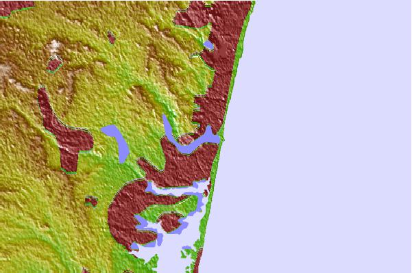
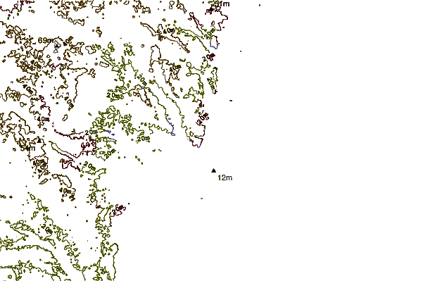
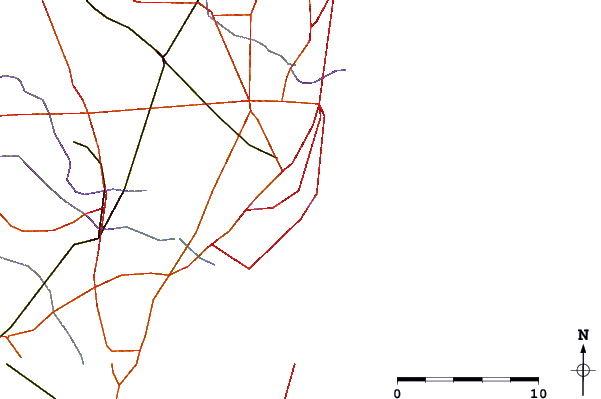
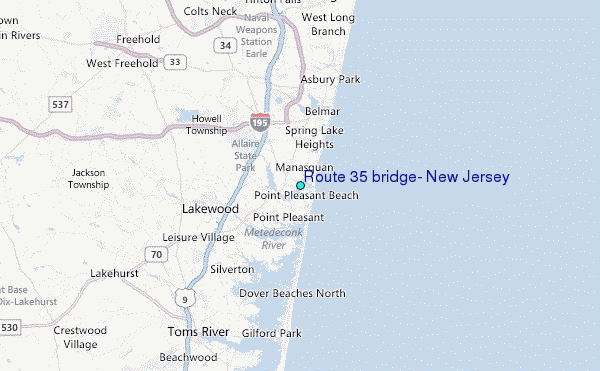
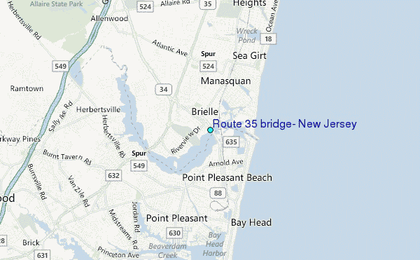
Use this relief map to navigate to tide stations, surf breaks and cities that are in the area of Route 35 bridge, New Jersey.
Other Nearby Locations' tide tables and tide charts to Route 35 bridge, New Jersey:
click location name for more details
 Surf breaks close to Route 35 bridge, New Jersey:
|
||
|---|---|---|
| Closest surf break | Jenkinsons (Point Pleasant Beach) | 1 mi |
| Second closest surf break | Manasquan Inlet | 1 mi |
| Third closest surf break | Sea Girt | 2 mi |
| Fourth closest surf break | Bay Head | 2 mi |
| Fifth closest surf break | Belmar | 4 mi |

 Nearest
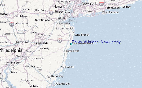