
| Distance / Altitude | Location | Report Date / Time | Live Weather | Wind | Gusts | Temp. | Visibility | Cloud |
|---|---|---|---|---|---|---|---|---|
| 2 km SE / 3 m | BUOY-TXPT2 (Marine) | 2025-12-23 12:48 local (2025/12/23 18:48 GMT) | light winds from the ESE (13 km/h at 110) | — | - | |||
| 17 km WSW / 3 m | BUOY-SRST2 (Marine) | 2025-12-23 12:50 local (2025/12/23 18:50 GMT) | light winds from the ESE (17 km/h at 110) | 20°C | - | |||
| 20 km NW / 3 m | BUOY-PORT2 (Marine) | 2025-12-23 12:48 local (2025/12/23 18:48 GMT) | calm (5 km/h at 80) | — | - | |||
| 32 km NW / 214 m | Beaumont/Port Arthur Airport (Texas) | 2025-12-23 12:07 local (2025/12/23 18:07 GMT) | Dry and partly cloudy | light winds from the ESE (6 km/h at 110) | 23°C | 16 | few broken broken | |
| 40 km N / 220 m | Orange County Airport (TX) (United States) | 2025-12-23 12:35 local (2025/12/23 18:35 GMT) | Dry and partly cloudy | calm (0 km/h at 0) | 21°C | 11 | broken broken | |
| 50 km E / 3 m | BUOY-CAPL1 (Marine) | 2025-12-23 12:48 local (2025/12/23 18:48 GMT) | light winds from the SE (13 km/h at 140) | — | - | |||
| 53 km WNW / 10 m | Beaumont Airport (Texas) (Texas) | 2025-12-23 12:35 local (2025/12/23 18:35 GMT) | Dry and cloudy | light winds from the ESE (9 km/h at 110) | 22°C | 16 | broken broken overcast | |
| 53 km SW / 3 m | BUOY-HIST2 (Marine) | 2025-12-23 12:48 local (2025/12/23 18:48 GMT) | light winds from the ESE (9 km/h at 120) | — | - | |||
| 66 km NE / 4 m | Southland Field Airport- Sulphur (Louisiana) (Louisiana) | 2025-12-23 12:35 local (2025/12/23 18:35 GMT) | Dry and cloudy | light winds from the SSE (9 km/h at 150) | 22°C | 16 | broken overcast | |
| 67 km SW / 3 m | BUOY-RLOT2 (Marine) | 2025-12-23 12:48 local (2025/12/23 18:48 GMT) | moderate winds from the ESE (22 km/h at 120) | — | - |
| Contours: | Roads & Rivers: | Select a
tide station / surf break / city |
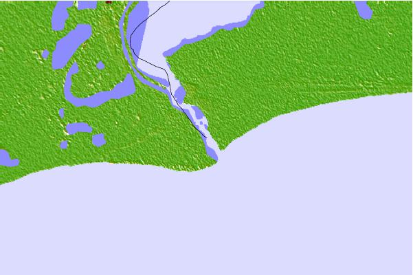
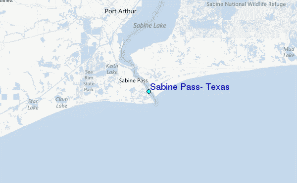
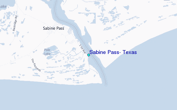
Use this relief map to navigate to tide stations, surf breaks and cities that are in the area of Sabine Pass, Texas.
Other Nearby Locations' tide tables and tide charts to Sabine Pass, Texas:
click location name for more details
 Surf breaks close to Sabine Pass, Texas:
|
||
|---|---|---|
| Closest surf break | Holly Beach | 24 mi |
| Second closest surf break | Bolivar | 39 mi |
| Third closest surf break | Meacom Pier | 57 mi |
| Fourth closest surf break | Galveston - Flagship Pier | 61 mi |
| Fifth closest surf break | Galveston | 62 mi |


 Nearest
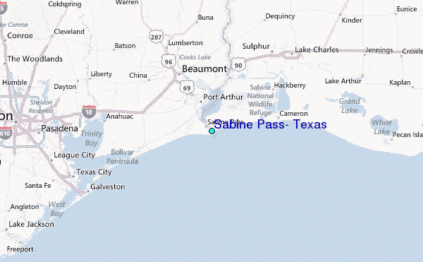