
| Distance / Altitude | Location | Report Date / Time | Live Weather | Wind | Gusts | Temp. | Visibility | Cloud |
|---|---|---|---|---|---|---|---|---|
| 13 km WSW / 1 m | SableIslandA- NS (Canada) | 2024-04-27 00:00 local (2024/04/27 03:00 GMT) | - | moderate winds from the NW (20 km/h at 320) | 4°C | - | clear | |
| 17 km SW / 62 m | Sable Island (Canada) | 2024-04-27 00:00 local (2024/04/27 03:00 GMT) | no report | moderate winds from the NW (20 km/h at 320) | 4°C | - | - no observation - | |
| 18 km SW / 432 m | Sable Island Airport (Nova Scotia) | 2024-04-26 23:00 local (2024/04/27 02:00 GMT) | - | light winds from the NW (17 km/h at 320) | — | 0.0 | ||
| 84 km W / 3 m | SHIP1904 (Marine) | 2024-04-26 23:00 local (2024/04/27 02:00 GMT) | light winds from the W (11 km/h at 270) | 4°C | - | |||
| 179 km NW / 217 m | Hart Island Airport (Nova Scotia) | 2024-04-26 23:00 local (2024/04/27 02:00 GMT) | - | moderate winds from the NNW (26 km/h at 340) | 3°C | 0.0 |
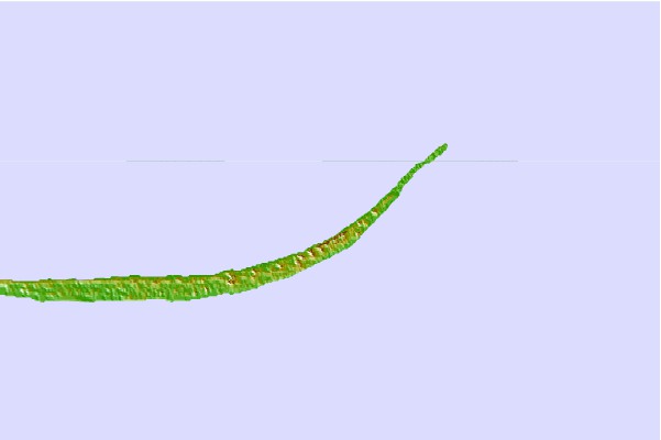
| Contours: | Roads & Rivers: | Select a
tide station / surf break / city |

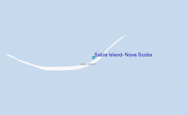
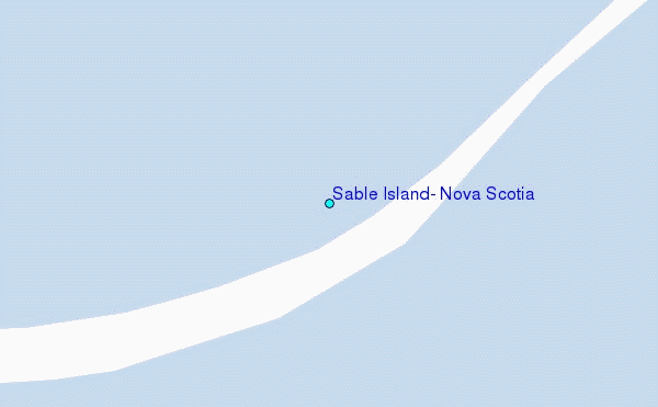
Use this relief map to navigate to tide stations, surf breaks and cities that are in the area of Sable Island, Nova Scotia.
Other Nearby Locations' tide tables and tide charts to Sable Island, Nova Scotia:
click location name for more details
 Surf breaks close to Sable Island, Nova Scotia:
|
||
|---|---|---|
| Closest surf break | Michaud Point | 119 mi |
| Second closest surf break | Kennington Cove | 132 mi |
| Third closest surf break | Martinique | 173 mi |
| Fourth closest surf break | Lawrencetown Left Point | 180 mi |
| Fifth closest surf break | Lawrencetown Reef | 181 mi |

 Nearest
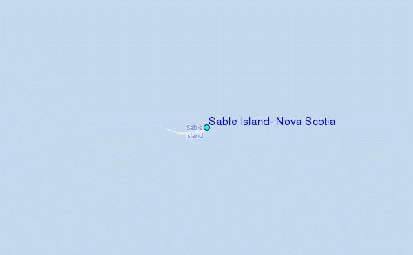