
| Distance / Altitude | Location | Report Date / Time | Live Weather | Wind | Gusts | Temp. | Visibility | Cloud |
|---|---|---|---|---|---|---|---|---|
| 8 km ESE / 189 m | Sable Island (Canada) | 2024-04-26 15:00 local (2024/04/26 18:00 GMT) | - | light winds from the NNW (9 km/h at 340) | 7°C | - | no observation | |
| 8 km ESE / 432 m | Sable Island Airport (Nova Scotia) | 2024-04-26 15:00 local (2024/04/26 18:00 GMT) | - | light winds from the N.(Wind varies from 310 to 020 degs) (9 km/h at 350) | — | 0.0 | ||
| 11 km E / 1 m | Sable Island A- NS (Canada) | 2024-04-26 15:00 local (2024/04/26 18:00 GMT) | no report | light winds from the N (11 km/h at 350) | 7°C | - | - clear - | |
| 170 km NW / 217 m | Hart Island Airport (Nova Scotia) | 2024-04-26 15:00 local (2024/04/26 18:00 GMT) | - | calm (4 km/h at 260) | 8°C | 0.0 | ||
| 171 km NW / 8 m | Hart Island Airport (Canada) | 2024-04-26 15:00 local (2024/04/26 18:00 GMT) | no report | calm (4 km/h at 260) | 8°C | - | - no observation - |
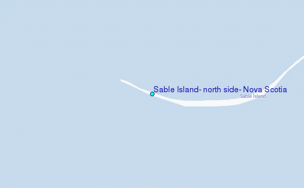
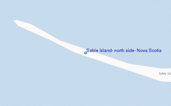
Choose Sable Island, north side, Nova Scotia Location Map Zoom:
| Contours: | Roads & Rivers: | Select a
tide station / surf break / city |

Use this relief map to navigate to tide stations, surf breaks and cities that are in the area of Sable Island, north side, Nova Scotia.
Other Nearby Locations' tide tables and tide charts to Sable Island, north side, Nova Scotia:
click location name for more details
 Surf breaks close to Sable Island, north side, Nova Scotia:
|
||
|---|---|---|
| Closest surf break | Michaud Point | 116 mi |
| Second closest surf break | Kennington Cove | 133 mi |
| Third closest surf break | Martinique | 159 mi |
| Fourth closest surf break | Lawrencetown Left Point | 167 mi |
| Fifth closest surf break | Lawrencetown Reef | 167 mi |

 Nearest
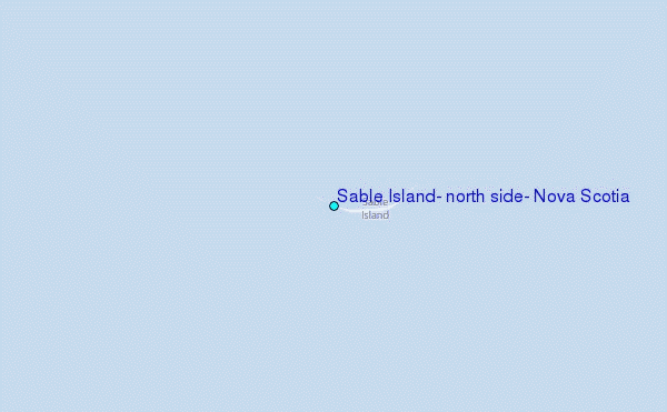