
| Distance / Altitude | Location | Report Date / Time | Live Weather | Wind | Gusts | Temp. | Visibility | Cloud |
|---|---|---|---|---|---|---|---|---|
| 29 km SW / 275 m | lightning 35km W of Sagua de Tanamo (Cuba) | 2026-06-09 14:45 local (2026/06/09 18:45 GMT) | Thunderstorm | (- km/h at -) | — | |||
| 43 km SSE / 723 m | lightning 19km W of Rio Guayabal de Yateras (Cuba) | 2026-06-09 16:49 local (2026/06/09 20:49 GMT) | Thunderstorm | (- km/h at -) | — | |||
| 47 km W / 4 m | lightning 11km SSW of Banes (Cuba) | 2026-06-09 14:45 local (2026/06/09 18:45 GMT) | Thunderstorm | (- km/h at -) | — | |||
| 48 km NNE / 3 m | SHIP2701 (Marine) | 2026-06-09 16:00 local (2026/06/09 20:00 GMT) | - (- km/h at -) | 29°C | - | |||
| 93 km S / 203 m | Guantanamo Bay Airport (Cuba) | 2026-06-09 15:51 local (2026/06/09 19:51 GMT) | Dry and cloudy | light winds from the SSE (9 km/h at 150) | 29°C | 16 | few broken overcast | |
| 54 km N / 3 m | SHIP8672 (Marine) | 2026-06-09 15:00 local (2026/06/09 19:00 GMT) | - (- km/h at -) | 29°C | - | |||
| 54 km N / 3 m | SHIP5831 (Marine) | 2026-06-09 15:00 local (2026/06/09 19:00 GMT) | - (- km/h at -) | 29°C | - | |||
| 54 km N / 3 m | SHIP1994 (Marine) | 2026-06-09 15:00 local (2026/06/09 19:00 GMT) | - (- km/h at -) | 29°C | - | |||
| 54 km N / 15 m | SHIP7382 (Marine) | 2026-06-09 15:00 local (2026/06/09 19:00 GMT) | - (- km/h at -) | — | - km | |||
| 54 km N / 3 m | SHIP6465 (Marine) | 2026-06-09 15:00 local (2026/06/09 19:00 GMT) | - (- km/h at -) | 29°C | - |
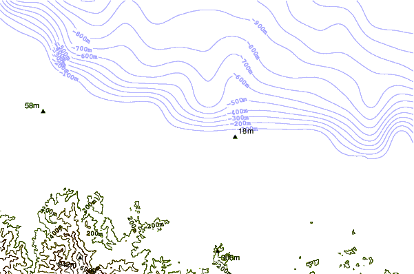
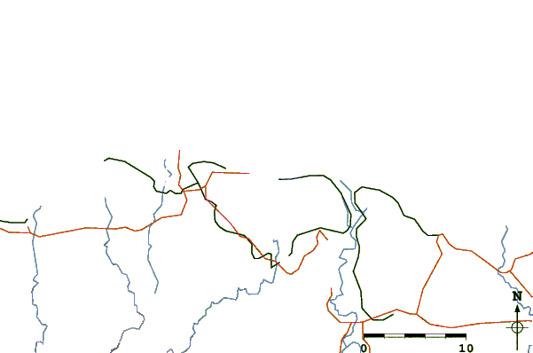
| Contours: | Roads & Rivers: | Select a
tide station / surf break / city |
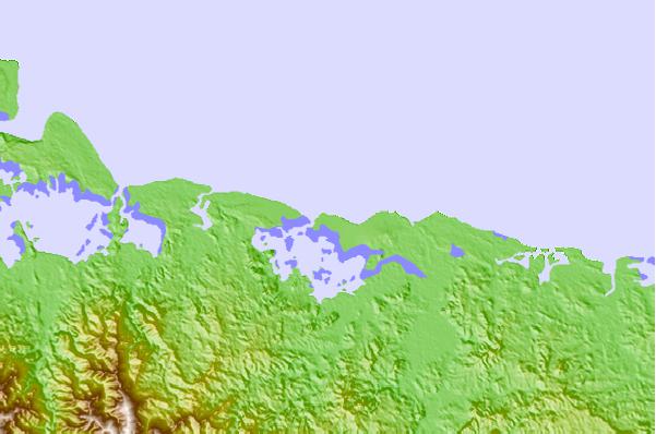
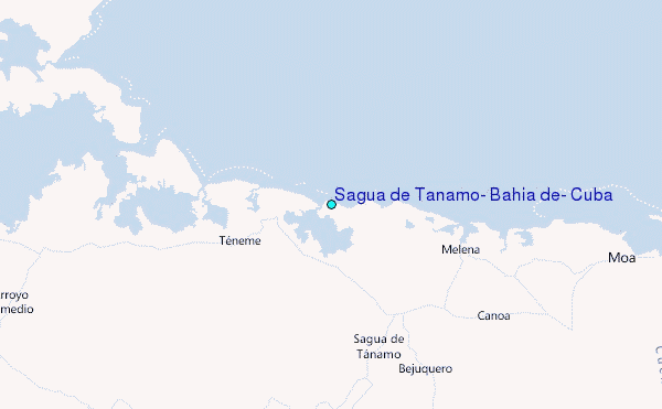
Use this relief map to navigate to tide stations, surf breaks and cities that are in the area of Sagua de Tanamo, Bahía de, Cuba.
Other Nearby Locations' tide tables and tide charts to Bahia de Sagua de Tanamo, Cuba:
click location name for more details
 Surf breaks close to Bahia de Sagua de Tanamo, Cuba:
|
||
|---|---|---|
| Closest surf break | Winnifred Beach | 189 mi |
| Second closest surf break | Navy Island | 190 mi |
| Third closest surf break | Boston Bay | 190 mi |
| Fourth closest surf break | Long Bay | 192 mi |
| Fifth closest surf break | Peenie Wally | 193 mi |


 Nearest
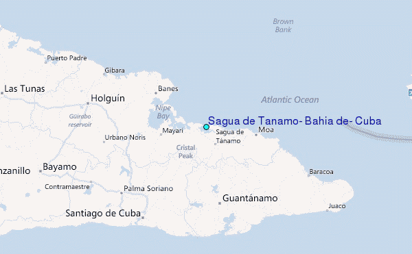