
| Distance / Altitude | Location | Report Date / Time | Live Weather | Wind | Gusts | Temp. | Visibility | Cloud |
|---|---|---|---|---|---|---|---|---|
| 29 km SSW / 1 m | Alligator Point wx (United States) | 2026-06-09 04:33 local (2026/06/09 08:33 GMT) | dry | calm (5 km/h at 100) | 27°C | - | - - 0 | |
| 39 km NW / 217 m | Tallahassee Airport (Florida) | 2026-06-09 02:53 local (2026/06/09 06:53 GMT) | Dry and cloudy | light winds from the E (13 km/h at 90) | 27°C | 16 | overcast | |
| 42 km NW / 35 m | College Park wx (United States) | 2026-06-09 04:34 local (2026/06/09 08:34 GMT) | dry | calm (0 km/h at 128) | 26°C | - | - - 0 | |
| 42 km N / 28 m | Perkins wx (United States) | 2026-06-09 04:16 local (2026/06/09 08:16 GMT) | dry | calm (0 km/h at 129) | 24°C | - | - - 0 | |
| 48 km NW / 41.1 m | Tallahassee (Florida) | 2026-06-09 04:35 local (2026/06/09 08:35 GMT) | dry | calm (0 km/h at 317) | 25°C | - | - - 0 | |
| 57 km E / 14 m | Perry Foley Airport (Florida) (Florida) | 2026-06-09 03:35 local (2026/06/09 07:35 GMT) | Dry and partly cloudy | calm (0 km/h at 0) | 24°C | 16 | scattered scattered | |
| 63 km NE / 38 m | Monticello (Florida) | 2026-06-09 04:29 local (2026/06/09 08:29 GMT) | dry | calm (0 km/h at 0) | 23°C | - | - - 0 | |
| 64 km ESE / 3 m | BUOY-KTNF1 (Marine) | 2026-06-09 04:30 local (2026/06/09 08:30 GMT) | light winds from the E (8 km/h at 80) | 25°C | - | |||
| 68 km NW / 69 m | Quincy Municipal Airport (Florida) (Florida) | 2026-06-09 03:35 local (2026/06/09 07:35 GMT) | Dry and cloudy | calm (0 km/h at 0) | 26°C | 16 | broken broken overcast | |
| 76 km SW / 3 m | BUOY-APXF1 (Marine) | 2026-06-09 04:00 local (2026/06/09 08:00 GMT) | calm (4 km/h at 70) | 26°C | - |
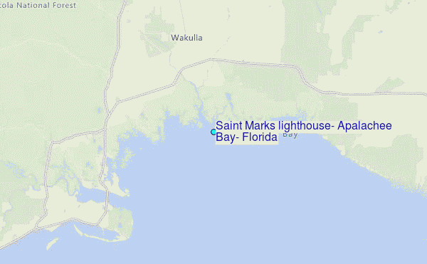
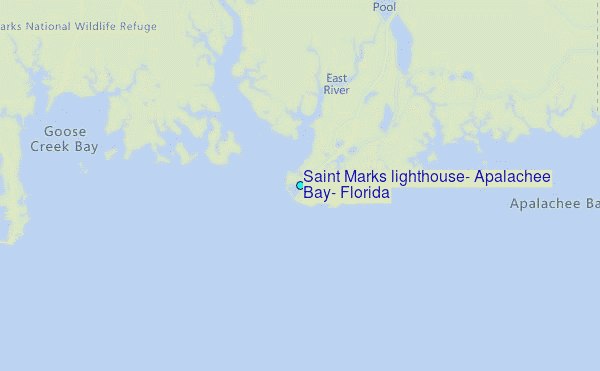
Choose Saint Marks lighthouse, Apalachee Bay, Florida Location Map Zoom:
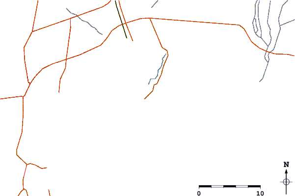
| Contours: | Roads & Rivers: | Select a
tide station / surf break / city |
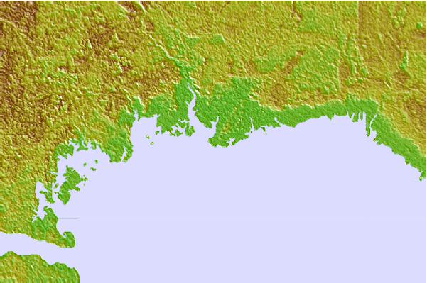

Use this relief map to navigate to tide stations, surf breaks and cities that are in the area of Saint Marks lighthouse, Apalachee Bay, Florida.
Other Nearby Locations' tide tables and tide charts to Saint Marks lighthouse, Apalachee Bay, Florida:
click location name for more details
 Surf breaks close to Saint Marks lighthouse, Apalachee Bay, Florida:
|
||
|---|---|---|
| Closest surf break | St George Island | 51 mi |
| Second closest surf break | Shell Island | 91 mi |
| Third closest surf break | The Pass | 93 mi |
| Fourth closest surf break | St Andrews State Park | 94 mi |
| Fifth closest surf break | Panama City Beach | 96 mi |


 Nearest
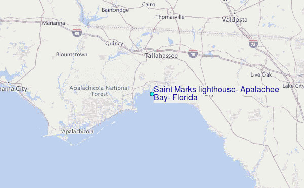