
| Distance / Altitude | Location | Report Date / Time | Live Weather | Wind | Gusts | Temp. | Visibility | Cloud |
|---|---|---|---|---|---|---|---|---|
| 12 km E / 39 m | Trinite -Caravelle (France) | 2026-04-09 21:00 local (2026/04/10 01:00 GMT) | no report | fresh winds from the ESE (29 km/h at 120) | 30°C | - | - | |
| 20 km S / 15 m | SHIP8932 (Marine) | 2026-04-09 20:00 local (2026/04/10 00:00 GMT) | - (- km/h at -) | — | - km | |||
| 20 km S / 214 m | Le Lamentin/Martinique Aimé Césaire International Airport (Lesser Antilles) | 2026-04-09 20:30 local (2026/04/10 00:30 GMT) | Dry and cloudy | light winds from the N (6 km/h at 1) | 26°C | 10.0 | broken broken overcast | |
| 21 km S / 8 m | Lamentin -Aero (France) | 2026-04-09 21:00 local (2026/04/10 01:00 GMT) | no report | wind obs. (14 kph from 160 degs) was rejected (- km/h at -) | 27°C | 10 | - | |
| 85 km S / 348 m | George F. L. Charles Airport/Vigie/St Lucia (Lesser Antilles) | 2026-04-09 20:00 local (2026/04/10 00:00 GMT) | Dry and partly cloudy | light winds from the ESE (9 km/h at 110) | 25°C | 10.0 | broken | |
| 20 km S / 214 m | Le Lamentin/Martinique Aimé Césaire International Airport (Lesser Antilles) | 2026-04-09 20:30 local (2026/04/10 00:30 GMT) | Dry and cloudy | light winds from the N (6 km/h at 1) | 26°C | 10.0 | broken broken overcast | |
| 20 km S / 15 m | SHIP4155 (Marine) | 2026-04-09 20:00 local (2026/04/10 00:00 GMT) | - (- km/h at -) | — | - km | |||
| 21 km S / 8 m | Lamentin -Aero (France) | 2026-04-09 21:00 local (2026/04/10 01:00 GMT) | no report | wind obs. (14 kph from 160 degs) was rejected (- km/h at -) | 27°C | 10 | - | |
| 34 km S / 15 m | SHIP6978 (Marine) | 2026-04-09 20:00 local (2026/04/10 00:00 GMT) | light winds from the E (14.4 km/h at 100) | 28°C | - km | |||
| 34 km S / - m | SHIP555 (ocean) | 2026-04-09 20:00 local (2026/04/10 00:00 GMT) | - | light winds from the E (14 km/h at 100) | 26°C | - | no observation |
| Contours: | Roads & Rivers: | Select a
tide station / surf break / city |
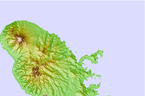
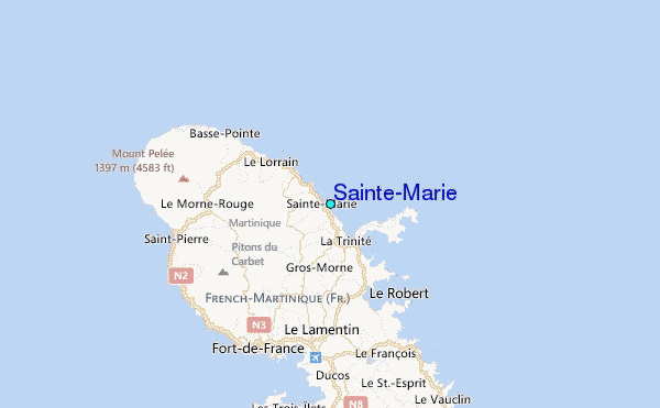
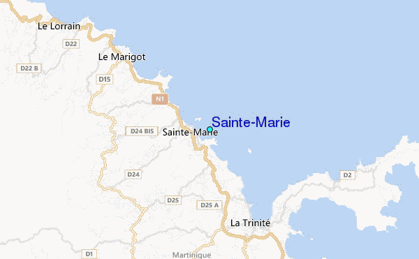
Use this relief map to navigate to tide stations, surf breaks and cities that are in the area of Sainte-Marie.
Other Nearby Locations' tide tables and tide charts to Sainte-Marie:
click location name for more details
 Surf breaks close to Sainte-Marie:
|
||
|---|---|---|
| Closest surf break | Charpencaye | 3 mi |
| Second closest surf break | Cocoa | 5 mi |
| Third closest surf break | Plage des Surfeurs | 5 mi |
| Fourth closest surf break | Pelle a Tarte | 6 mi |
| Fifth closest surf break | Le Lorrain | 6 mi |


 Nearest
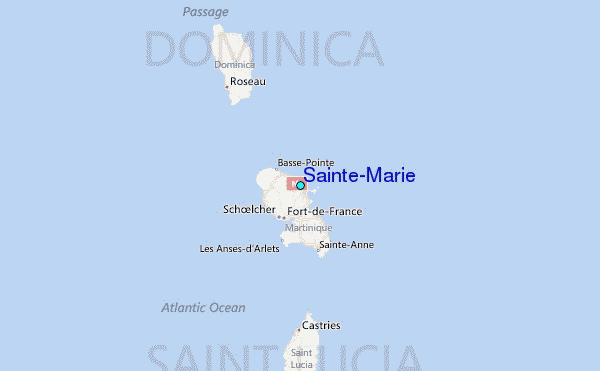