
| Distance / Altitude | Location | Report Date / Time | Live Weather | Wind | Gusts | Temp. | Visibility | Cloud |
|---|---|---|---|---|---|---|---|---|
| 86 km SSW / 3 m | BUOY-TPXA2 (Marine) | 2026-06-09 01:32 local (2026/06/09 08:32 GMT) | - (0 km/h at -) | 12°C | - | |||
| 87 km SW / 3 m | BUOY-MRYA2 (Marine) | 2026-06-09 01:32 local (2026/06/09 08:32 GMT) | calm (4 km/h at 210) | 11°C | - | |||
| 94 km SSW / 165 m | Grey Islet Airport (British Columbia) | 2026-06-09 00:00 local (2026/06/09 07:00 GMT) | - | calm (4 km/h at 350) | 12°C | 0.0 | ||
| 94 km SSW / 10 m | GreyIslet(Aut)- BC (Canada) | 2026-06-09 01:00 local (2026/06/09 08:00 GMT) | no report | wind obs. (7 kph from 140 degs) was rejected (- km/h at -) | 12°C | - | - no observation - | |
| 107 km WSW / 7 m | Metlakatla wx (United States) | 2026-06-09 01:12 local (2026/06/09 08:12 GMT) | dry | calm (0 km/h at 360) | 10°C | - | - - 0 | |
| 110 km WSW / 1 m | Mountain Point wx (United States) | 2026-06-09 01:43 local (2026/06/09 08:43 GMT) | dry | calm (2 km/h at 228) | 9°C | - | - - 0 | |
| 111 km WSW / 3 m | BUOY-SXXA2 (Marine) | 2026-06-09 01:32 local (2026/06/09 08:32 GMT) | calm (2 km/h at 70) | 10°C | - | |||
| 111 km WSW / 7 m | Metlakatla wx (United States) | 2026-06-09 01:38 local (2026/06/09 08:38 GMT) | dry | calm (0 km/h at 128) | 11°C | - | - - 0 | |
| 111 km WSW / 7 m | Metlakatla wx (United States) | 2026-06-09 01:18 local (2026/06/09 08:18 GMT) | dry | calm (0 km/h at 0) | 9°C | - | - - 0 | |
| 111 km WSW / 216 m | Metlakatla Airport (Alaska) | 2026-06-08 23:56 local (2026/06/09 06:56 GMT) | Dry and cloudy | calm (0 km/h at 0) | 11°C | 16 | broken overcast |
| Contours: | Roads & Rivers: | Select a
tide station / surf break / city |
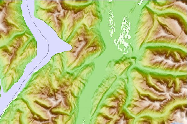
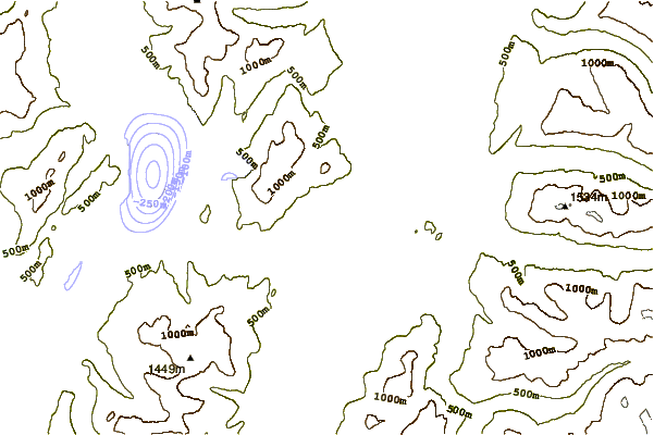
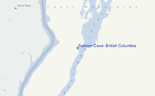
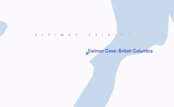
Use this relief map to navigate to tide stations, surf breaks and cities that are in the area of Salmon Cove, British Columbia.
Other Nearby Locations' tide tables and tide charts to Salmon Cove, British Columbia:
click location name for more details
 Surf breaks close to Salmon Cove, British Columbia:
|
||
|---|---|---|
| Closest surf break | Tow Hill Beach | 113 mi |
| Second closest surf break | Lepus Beach (Haida-Gwaii) | 148 mi |
| Third closest surf break | Nootka Island (Calvin Bay) | 408 mi |
| Fourth closest surf break | Tofino (North Chestermans Beach) | 457 mi |
| Fifth closest surf break | South Chesterman Beach | 457 mi |


 Nearest
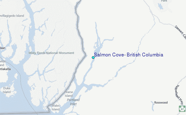