
| Distance / Altitude | Location | Report Date / Time | Live Weather | Wind | Gusts | Temp. | Visibility | Cloud |
|---|---|---|---|---|---|---|---|---|
| 94 km S / 169 m | Puerto Vallarta Airport (Mexico) | 2025-12-24 23:40 local (2025/12/25 06:40 GMT) | - | calm (4 km/h at 50) | — | 13 | ||
| 98 km S / 6 m | Puerto Vallarta (Mexico) | 2025-12-24 23:00 local (2025/12/25 06:00 GMT) | dry | calm (0 km/h at 163) | 23°C | - | - - 0 | |
| 210 km NW / 386 m | Mazatlán/General Rafael Buelna Airport (Mexico) | 2025-12-24 23:46 local (2025/12/25 06:46 GMT) | Mist - | calm (0 km/h at 0) | 17°C | 1 | broken | |
| 211 km WSW / 15 m | SHIP5849 (Marine) | 2025-12-24 23:00 local (2025/12/25 06:00 GMT) | light winds from the N (18.36 km/h at 10) | 28°C | 17.7 km | |||
| 214 km ESE / 1551 m | Guadalajara- Jal. (Mexico) | 2025-12-24 23:00 local (2025/12/25 06:00 GMT) | no report | calm (4 km/h at 290) | 23°C | 10 | - | |
| 218 km ESE / 1586 m | Guadalajara (Mexico) | 2025-12-24 23:00 local (2025/12/25 06:00 GMT) | no report | calm (4 km/h at 290) | 18°C | 20 | - | |
| 224 km NW / 13 m | Mazatlan (Mexico) | 2025-12-24 23:40 local (2025/12/25 06:40 GMT) | dry | calm (0 km/h at 297) | 22°C | - | - - 0 | |
| 229 km W / 15 m | ASCATB253E22N (Marine) | 2025-12-24 21:28 local (2025/12/25 04:28 GMT) | light winds from the NNW (18 km/h at 336) | — | - km | |||
| 231 km ESE / 1567 m | Guadalajara Airport (Mexico) | 2025-12-24 23:42 local (2025/12/25 06:42 GMT) | - | light winds from the W (7 km/h at 280) | — | 5 | ||
| 262 km ENE / 1900 m | Tercer Centenario wx (Mexico) | 2025-12-25 00:04 local (2025/12/25 07:04 GMT) | dry | calm (0 km/h at 73) | 9°C | - | - - 0 |
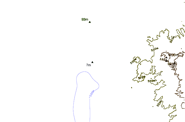
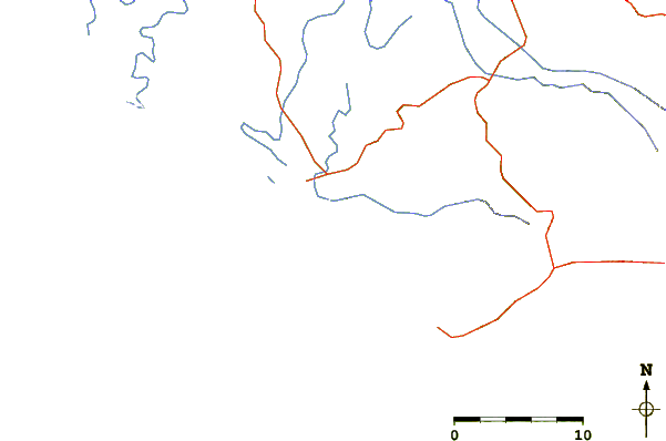
| Contours: | Roads & Rivers: | Select a
tide station / surf break / city |
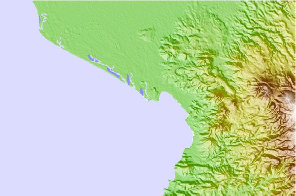
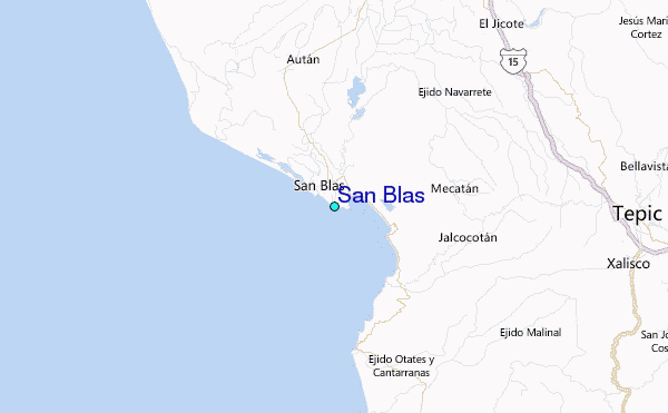
Use this relief map to navigate to tide stations, surf breaks and cities that are in the area of San Blas.
Other Nearby Locations' tide tables and tide charts to San Blas:
click location name for more details
 Surf breaks close to San Blas:
|
||
|---|---|---|
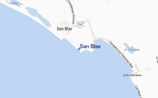
| Closest surf break | Stoners Point (San Blas) | 1 mi |
| Second closest surf break | Las Islitas (Matanchen Bay) | 1 mi |
| Third closest surf break | San Blas | 1 mi |
| Fourth closest surf break | Aticama | 5 mi |
| Fifth closest surf break | Santa Cruz | 7 mi |


 Nearest
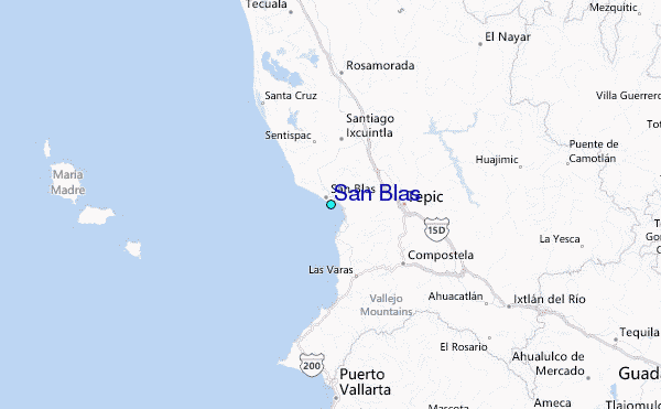