
| Distance / Altitude | Location | Report Date / Time | Live Weather | Wind | Gusts | Temp. | Visibility | Cloud |
|---|---|---|---|---|---|---|---|---|
| 72 km E / 0 m | lightning 97km N of Matina (Costa Rica) | 2026-06-09 07:18 local (2026/06/09 13:18 GMT) | Thunderstorm | (- km/h at -) | — | |||
| 99 km NE / 15 m | hy2b277E12N (Marine) | 2026-06-09 06:10 local (2026/06/09 12:10 GMT) | light winds from the E (9 km/h at 90) | — | - km | |||
| 110 km S / 1200 m | Barva (Costa Rica) | 2026-06-09 08:47 local (2026/06/09 14:47 GMT) | dry | calm (0 km/h at 211) | 18°C | - | - - 0 | |
| 113 km S / 1198 m | Sabanilla wx (Costa Rica) | 2026-06-09 08:42 local (2026/06/09 14:42 GMT) | dry | calm (0 km/h at 127) | 18°C | - | - - 0 | |
| 116 km S / 1195 m | San Jose (Costa Rica) | 2026-06-09 08:02 local (2026/06/09 14:02 GMT) | dry | calm (2 km/h at 157) | 18°C | - | - - 0 | |
| 116 km S / 692 m | Juan Santamaria Airport (Costa Rica) | 2026-06-09 07:23 local (2026/06/09 13:23 GMT) | Moderate rain | calm (4 km/h at 80) | 20°C | 8.0 | few overcast | |
| 118 km S / 994 m | Tobias Bolano Airport (Costa Rica) | 2026-06-09 07:33 local (2026/06/09 13:33 GMT) | Drizzle | calm (2 km/h at 1) | 20°C | 3.0 | few broken | |
| 122 km E / 15 m | hy2b277E11N (Marine) | 2026-06-09 06:11 local (2026/06/09 12:11 GMT) | moderate winds from the E (21 km/h at 98) | — | - km | |||
| 123 km ESE / 15 m | hy2b277E10N (Marine) | 2026-06-09 06:11 local (2026/06/09 12:11 GMT) | moderate winds from the SE (21 km/h at 125) | — | - km | |||
| 128 km SE / 358 m | Limon International Airport (Costa Rica) | 2026-06-09 07:00 local (2026/06/09 13:00 GMT) | Dry and cloudy | light winds from the SSE (11 km/h at 150) | 25°C | 10.0 | few overcast |
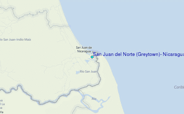
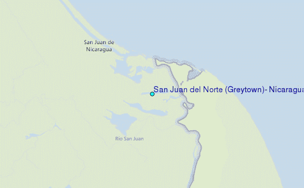
Choose San Juan del Norte (Greytown), Nicaragua Location Map Zoom:
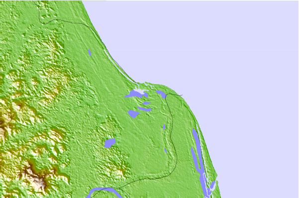
| Contours: | Roads & Rivers: | Select a
tide station / surf break / city |
Use this relief map to navigate to tide stations, surf breaks and cities that are in the area of San Juan del Norte (Greytown), Nicaragua.
Other Nearby Locations' tide tables and tide charts to San Juan del Norte (Greytown), Nicaragua:
click location name for more details
 Surf breaks close to San Juan del Norte (Greytown), Nicaragua:
|
||
|---|---|---|
| Closest surf break | Tortuguero | 70 mi |
| Second closest surf break | Playa Bonita | 76 mi |
| Third closest surf break | Portete | 76 mi |
| Fourth closest surf break | Roca Alta | 76 mi |
| Fifth closest surf break | Isla Uvita | 79 mi |


 Nearest
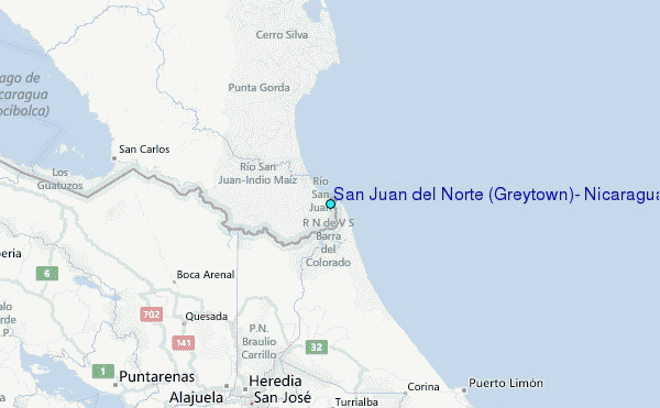