
| Distance / Altitude | Location | Report Date / Time | Live Weather | Wind | Gusts | Temp. | Visibility | Cloud |
|---|---|---|---|---|---|---|---|---|
| 2 km W / 218 m | Oakland Airport (California) | 2025-12-24 21:53 local (2025/12/25 05:53 GMT) | Light rain | fresh winds from the SE (31 km/h at 140) | 13°C | 16 | scattered broken broken | |
| 7 km ESE / 218 m | Hayward Airport (California) | 2025-12-24 21:54 local (2025/12/25 05:54 GMT) | Light rain | fresh winds from the SSE (31 km/h at 150) | 14°C | 13 | few broken overcast | |
| 10 km SE / 12 m | Mount Eden wx (United States) | 2025-12-24 23:15 local (2025/12/25 07:15 GMT) | dry | light winds from the SW (19 km/h at 219) | 24°C | - | - - 0 | |
| 13 km WNW / 3 m | BUOY-AAMC1 (Marine) | 2025-12-24 22:48 local (2025/12/25 06:48 GMT) | moderate winds from the SE (22 km/h at 130) | — | - | |||
| 14 km NW / 3 m | BUOY-LNDC1 (Marine) | 2025-12-24 22:48 local (2025/12/25 06:48 GMT) | moderate winds from the SSE (24 km/h at 150) | — | - | |||
| 17 km WNW / 3 m | BUOY-OMHC1 (Marine) | 2025-12-24 22:48 local (2025/12/25 06:48 GMT) | fresh winds from the S (33 km/h at 170) | — | - | |||
| 18 km SW / 218 m | San Francisco Airport (California) | 2025-12-24 21:56 local (2025/12/25 05:56 GMT) | Dry and partly cloudy | strong winds from the S (43 km/h at 170) | 15°C | 16 | few scattered broken | |
| 18 km WNW / 3 m | BUOY-OBXC1 (Marine) | 2025-12-24 22:30 local (2025/12/25 06:30 GMT) | - (- km/h at -) | 15°C | 10.9 | |||
| 18 km WNW / 3 m | BUOY-OKXC1 (Marine) | 2025-12-24 22:48 local (2025/12/25 06:48 GMT) | moderate winds from the S (21 km/h at 170) | — | - | |||
| 19 km WSW / 27 m | Brisbane wx (United States) | 2025-12-24 22:17 local (2025/12/25 06:17 GMT) | dry | calm (3 km/h at 101) | 15°C | - | - - 0 |
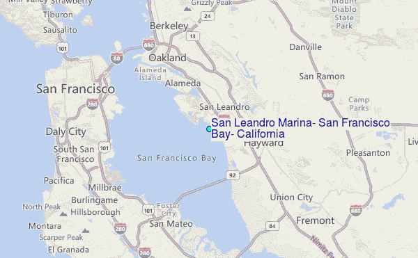
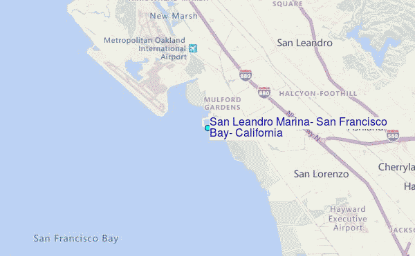
Choose San Leandro Marina, San Francisco Bay, California Location Map Zoom:
| Contours: | Roads & Rivers: | Select a
tide station / surf break / city |
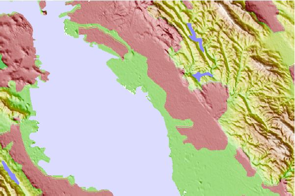
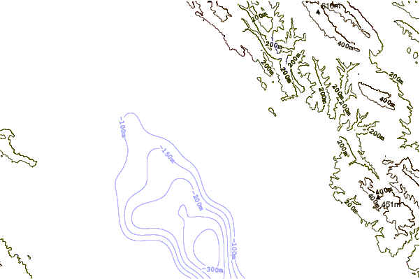
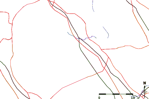
Use this relief map to navigate to tide stations, surf breaks and cities that are in the area of San Leandro Marina, San Francisco Bay, California.
Other Nearby Locations' tide tables and tide charts to San Leandro Marina, San Francisco Bay, California:
click location name for more details
 Surf breaks close to San Leandro Marina, San Francisco Bay, California:
|
||
|---|---|---|
| Closest surf break | Fort Point | 17 mi |
| Second closest surf break | Ocean Beach | 17 mi |
| Third closest surf break | Sharp Park | 17 mi |
| Fourth closest surf break | Deadman's | 18 mi |
| Fifth closest surf break | Linda Mar | 18 mi |


 Nearest
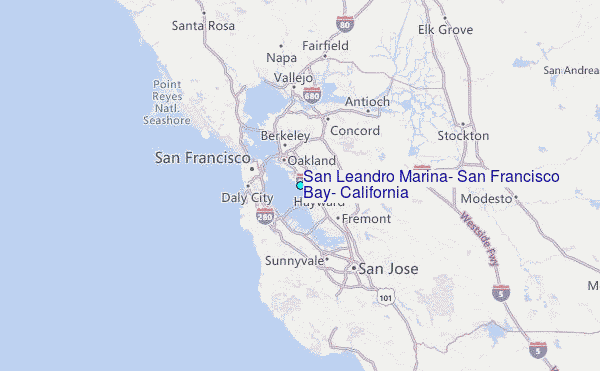