
| Distance / Altitude | Location | Report Date / Time | Live Weather | Wind | Gusts | Temp. | Visibility | Cloud |
|---|---|---|---|---|---|---|---|---|
| 3 km E / 5 m | Cockburn Town/San Salvador Airport (Bahamas) | 2026-06-10 14:00 local (2026/06/10 18:00 GMT) | - | light winds from the ESE.(Wind varies from 090 to 150 degs) (17 km/h at 120) | 30°C | 10.0 | ||
| 148 km SSE / 0 m | lightning 93km E of Clarencetown (Bahamas) | 2026-06-10 15:17 local (2026/06/10 19:17 GMT) | Thunderstorm | (- km/h at -) | — | |||
| 161 km S / 15 m | SHIP2601 (Marine) | 2026-06-10 15:00 local (2026/06/10 19:00 GMT) | - (- km/h at -) | — | - km | |||
| 161 km S / 3 m | SHIP2219 (Marine) | 2026-06-10 15:00 local (2026/06/10 19:00 GMT) | - (- km/h at -) | 31°C | - | |||
| 169 km W / 3 m | SHIP4785 (Marine) | 2026-06-10 15:00 local (2026/06/10 19:00 GMT) | - (- km/h at -) | 28°C | - | |||
| 169 km W / 15 m | SHIP5948 (Marine) | 2026-06-10 14:00 local (2026/06/10 18:00 GMT) | - (- km/h at -) | — | - km | |||
| 169 km W / 3 m | SHIP5414 (Marine) | 2026-06-10 13:00 local (2026/06/10 17:00 GMT) | - (- km/h at -) | 28°C | - | |||
| 169 km W / 3 m | SHIP4910 (Marine) | 2026-06-10 13:00 local (2026/06/10 17:00 GMT) | - (- km/h at -) | 28°C | - | |||
| 169 km W / 3 m | SHIP2017 (Marine) | 2026-06-10 13:00 local (2026/06/10 17:00 GMT) | - (- km/h at -) | 28°C | - | |||
| 169 km W / 15 m | SHIP2951 (Marine) | 2026-06-10 14:00 local (2026/06/10 18:00 GMT) | - (- km/h at -) | — | - km |
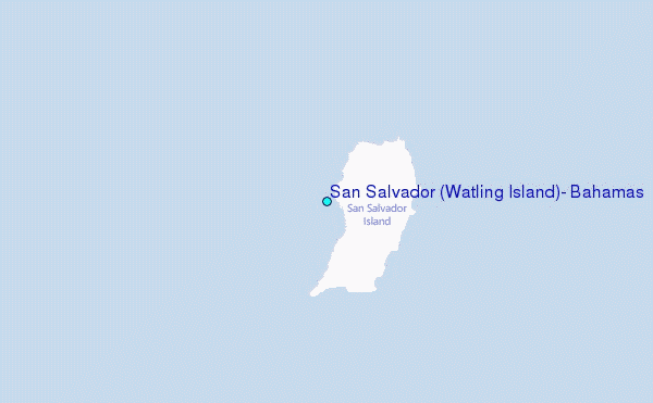
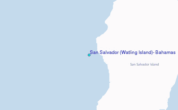
Choose San Salvador (Watling Island), Bahamas Location Map Zoom:
| Contours: | Roads & Rivers: | Select a
tide station / surf break / city |
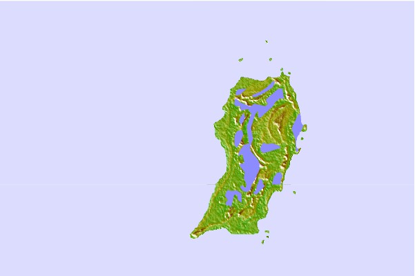
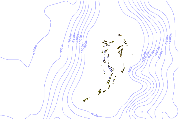
Use this relief map to navigate to tide stations, surf breaks and cities that are in the area of San Salvador (Watling Island), Bahamas.
Other Nearby Locations' tide tables and tide charts to San Salvador (Watling Island), Bahamas:
click location name for more details
 Surf breaks close to San Salvador (Watling Island), Bahamas:
|
||
|---|---|---|
| Closest surf break | Rock Sound | 115 mi |
| Second closest surf break | North Palmetto Point | 126 mi |
| Third closest surf break | James Point | 144 mi |
| Fourth closest surf break | Hidden Beach | 147 mi |
| Fifth closest surf break | The Dump | 151 mi |


 Nearest
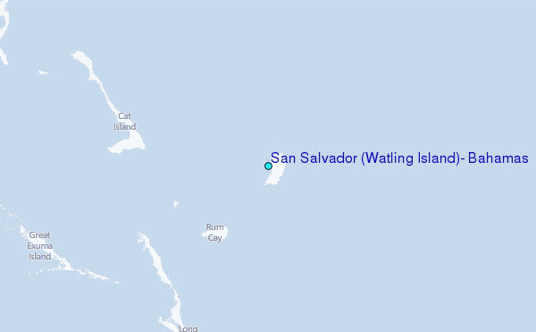