
| Distance / Altitude | Location | Report Date / Time | Live Weather | Wind | Gusts | Temp. | Visibility | Cloud |
|---|---|---|---|---|---|---|---|---|
| 62 km NE / 41 m | Calapan (Philippines) | 2024-04-26 11:00 local (2024/04/26 03:00 GMT) | Haze | light winds from the E (7 km/h at 90) | 33°C | 41 km | few | |
| 87 km SSE / 0 m | SanJose(98531 -0) (Philippines) | 2024-04-26 11:00 local (2024/04/26 03:00 GMT) | State of sky unchanged | light winds from the SSE (18 km/h at 160) | 37°C | 40 km | few | |
| 99 km NE / 6 m | Laiya (Philippines) | 2024-04-26 11:16 local (2024/04/26 03:16 GMT) | dry | - (- km/h at ) | — | - | - - 0 | |
| 117 km NNE / 100 m | Ambulong (Philippines) | 2024-04-26 11:00 local (2024/04/26 03:00 GMT) | no report | calm (4 km/h at 240) | 33°C | 18 | - mostly cloudy - | |
| 132 km S / 102 m | Coron (Calamian Islands) (Philippines) | 2024-04-26 11:00 local (2024/04/26 03:00 GMT) | no report | calm (4 km/h at 130) | 30°C | 15 | - |
| Contours: | Roads & Rivers: | Select a
tide station / surf break / city |
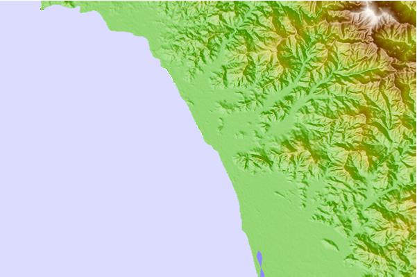
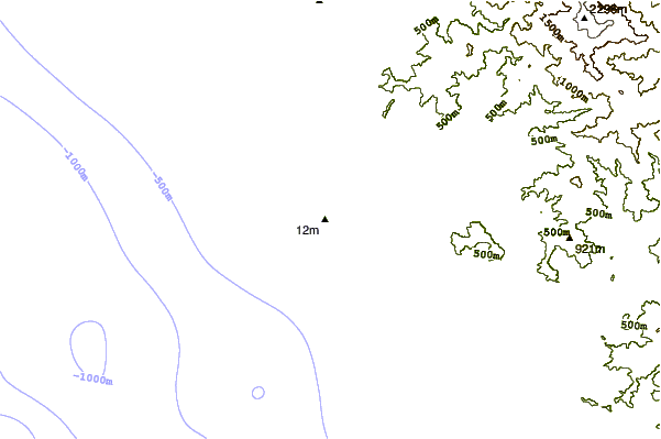
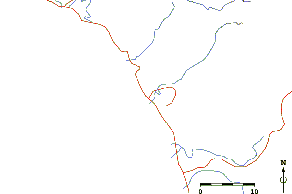
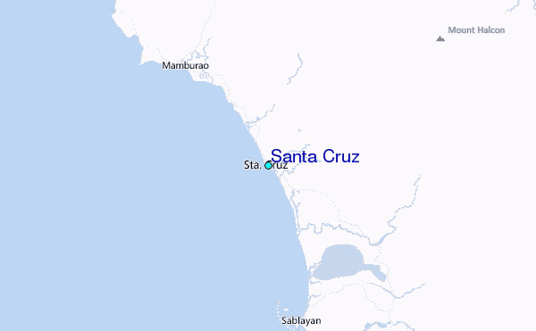
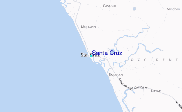
Use this relief map to navigate to tide stations, surf breaks and cities that are in the area of Santa Cruz.
Other Nearby Locations' tide tables and tide charts to Santa Cruz:
click location name for more details
 Surf breaks close to Santa Cruz:
|
||
|---|---|---|
| Closest surf break | Bagasbas Beach | 169 mi |
| Second closest surf break | Cobra Reef - Cemento | 195 mi |
| Third closest surf break | Baler - Charlie's Point | 195 mi |
| Fourth closest surf break | Baler - Lindy's Point | 195 mi |
| Fifth closest surf break | Baler - Sabang | 195 mi |

 Nearest
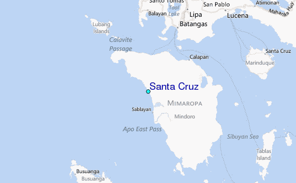