
| Distance / Altitude | Location | Report Date / Time | Live Weather | Wind | Gusts | Temp. | Visibility | Cloud |
|---|---|---|---|---|---|---|---|---|
| 49 km S / 5 m | Iba (Philippines) | 2026-06-13 17:00 local (2026/06/13 09:00 GMT) | thunderstorm but no precipitation falling at station | wind obs. (18 kph from 220 degs) was rejected (- km/h at -) | 32°C | 20 | - | |
| 56 km NE / 219 m | Dagupan (Luzon Island) (Philippines) | 2026-06-13 17:00 local (2026/06/13 09:00 GMT) | haze | wind obs. (7 kph from 160 degs) was rejected (- km/h at -) | 33°C | 12 | - | |
| 96 km SE / 155 m | Clark AB (Philippines) | 2026-06-13 17:00 local (2026/06/13 09:00 GMT) | haze | wind obs. (18 kph from 180 degs) was rejected (- km/h at -) | 33°C | 15 | - | |
| 98 km ESE / 19 m | Santa Lucia wx (Philippines) | 2026-06-13 17:16 local (2026/06/13 09:16 GMT) | light rain | calm (5 km/h at 319) | 26°C | - | - - 0 | |
| 99 km SE / 584 m | Angeles/Pampanga Airport (Philippines) | 2026-06-13 17:00 local (2026/06/13 09:00 GMT) | Shower light rain shower | calm (4 km/h at 250) | 30°C | 8.0 | broken overcast | |
| 103 km NE / 1501 m | Baguio (Philippines) | 2026-06-13 17:00 local (2026/06/13 09:00 GMT) | Fog at a distance | wind obs. (7 kph from 160 degs) was rejected (- km/h at -) | 22°C | 13 | - | |
| 107 km E / 247 m | thunderstorm affecting Nancalabasaan (Philippines) | 2026-06-13 16:31 local (2026/06/13 08:31 GMT) | Thunderstorm | (- km/h at -) | — | |||
| 114 km SSE / 452 m | Olongapo/Subic Bay Airport (Philippines) | 2026-06-13 17:00 local (2026/06/13 09:00 GMT) | Dry and partly cloudy | light winds from the NNW.(Wind varies from 290 to 080 degs) (13 km/h at 340) | 31°C | 10.0 | few broken | |
| 122 km E / 295 m | lightning 5km W of Carranglan (Philippines) | 2026-06-13 16:31 local (2026/06/13 08:31 GMT) | Thunderstorm | (- km/h at -) | — | |||
| 149 km ESE / 197 m | lightning 5km N of Calumpang (Philippines) | 2026-06-13 16:31 local (2026/06/13 08:31 GMT) | Thunderstorm | (- km/h at -) | — |
| Contours: | Roads & Rivers: | Select a
tide station / surf break / city |
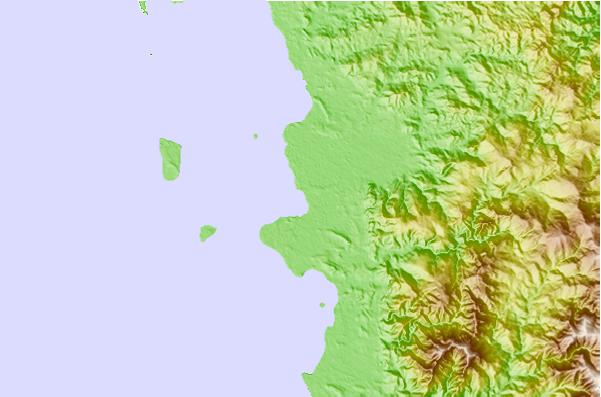
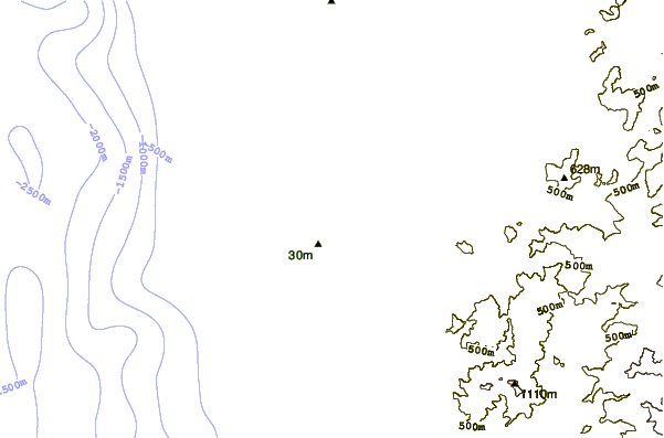
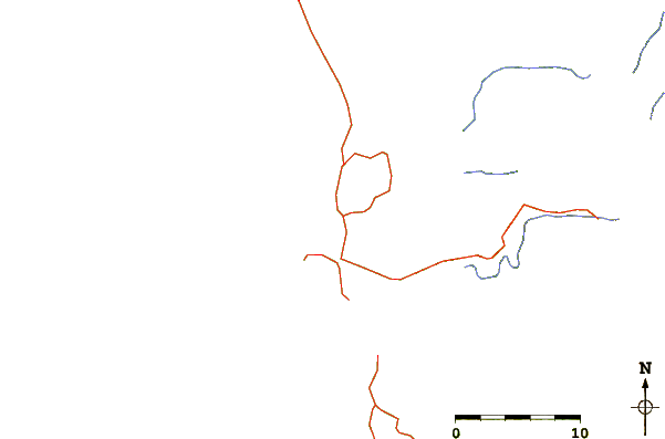
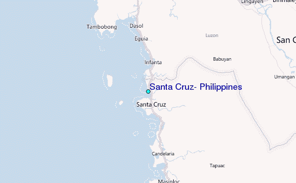
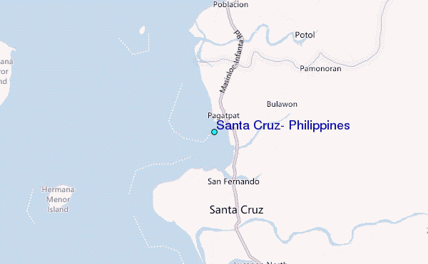
Use this relief map to navigate to tide stations, surf breaks and cities that are in the area of Santa Cruz, Philippines.
Other Nearby Locations' tide tables and tide charts to Santa Cruz, Philippines:
click location name for more details
 Surf breaks close to Santa Cruz, Philippines:
|
||
|---|---|---|
| Closest surf break | Bauang | 60 mi |
| Second closest surf break | Poro Point | 63 mi |
| Third closest surf break | Car-rille | 65 mi |
| Fourth closest surf break | Mona Liza Point | 67 mi |
| Fifth closest surf break | San Juan | 68 mi |


 Nearest
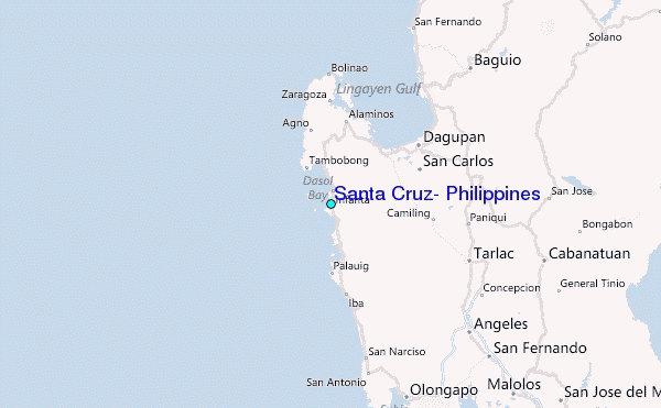