
| Distance / Altitude | Location | Report Date / Time | Live Weather | Wind | Gusts | Temp. | Visibility | Cloud |
|---|---|---|---|---|---|---|---|---|
| 3 km SSW / 611 m | Malabo/Fernando Poo Airport (Equatorial Guinea) | 2026-06-13 12:00 local (2026/06/13 11:00 GMT) | state of sky unchanged | light winds from the SW (11 km/h at 220) | 30°C | 10 | scattered - - | |
| 107 km ENE / 209 m | Douala Airport (Cameroon) | 2026-06-13 12:00 local (2026/06/13 11:00 GMT) | Dry and partly cloudy | wind obs. (7 kph from 180 degs) was rejected (- km/h at -) | 30°C | 10.0 | few broken few | |
| 107 km ENE / 209 m | Douala Airport (Cameroon) | 2026-06-13 12:00 local (2026/06/13 11:00 GMT) | Dry and partly cloudy | wind obs. (7 kph from 180 degs) was rejected (- km/h at -) | 30°C | 10.0 | few broken few | |
| 235 km SSE / 560 m | Bata (Rio Muni) (Equatorial Guinea) | 2026-06-13 12:00 local (2026/06/13 11:00 GMT) | no report | light winds from the S (15 km/h at 180) | 29°C | 8 | - | |
| 304 km E / 412 m | Yaounde Airport (Cameroon) | 2026-06-13 12:00 local (2026/06/13 11:00 GMT) | Dry and partly cloudy | light winds from the WSW.(Wind varies from 160 to 330 degs) (7 km/h at 240) | 28°C | 8.0 | broken | |
| 373 km S / 218 m | Libreville/Leon M'Ba Airport (Gabon) | 2026-06-13 13:00 local (2026/06/13 12:00 GMT) | no report | wind obs. (7 kph from 140 degs) was rejected (- km/h at -) | 25°C | 10 | scattered - - | |
| 393 km SE / 552 m | Oyem (Woleu-Ntem) (Gabon) | 2026-06-13 13:00 local (2026/06/13 12:00 GMT) | no report | - (- km/h at -) | 25°C | 10 | - | |
| 441 km S / 271 m | São Tomé International Airport (Sao Tome/principe) | 2026-06-13 13:00 local (2026/06/13 12:00 GMT) | Dry and partly cloudy | moderate winds from the SSE (22 km/h at 160) | 31°C | 10.0 | scattered broken | |
| 494 km S / 33 m | Port Gentil (Gabon) | 2026-06-13 13:00 local (2026/06/13 12:00 GMT) | no report | light winds from the SSW (19 km/h at 200) | 27°C | 8 | few - - | |
| 521 km SSE / 79 m | Lambarene (Gabon) | 2026-06-13 13:00 local (2026/06/13 12:00 GMT) | no report | - (- km/h at -) | — | 9 | - - - |
| Contours: | Roads & Rivers: | Select a
tide station / surf break / city |
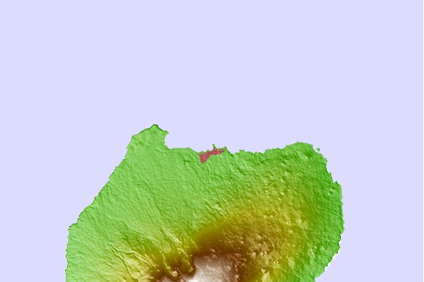
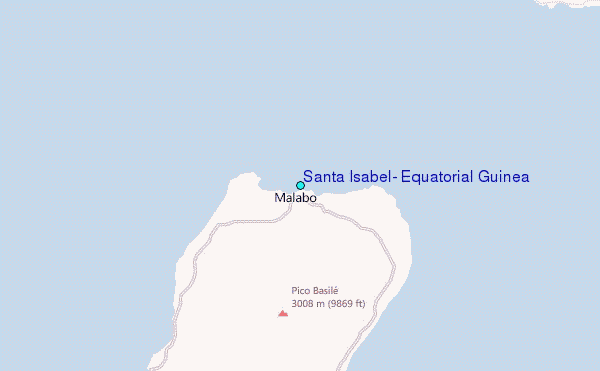
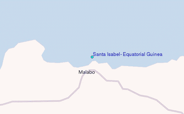
Use this relief map to navigate to tide stations, surf breaks and cities that are in the area of Santa Isabel, Equatorial Guinea.
Other Nearby Locations' tide tables and tide charts to Santa Isabel, Equatorial Guinea:
click location name for more details
 Surf breaks close to Santa Isabel, Equatorial Guinea:
|
||
|---|---|---|
| Closest surf break | Seme Beach Limbe | 30 mi |
| Second closest surf break | Kribi | 96 mi |
| Third closest surf break | Ferme aux Crocos | 227 mi |
| Fourth closest surf break | Gueque | 235 mi |
| Fifth closest surf break | Ngombe | 242 mi |


 Nearest
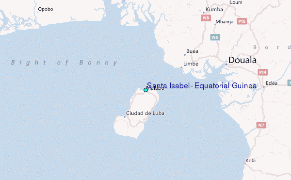