
| Distance / Altitude | Location | Report Date / Time | Live Weather | Wind | Gusts | Temp. | Visibility | Cloud |
|---|---|---|---|---|---|---|---|---|
| 66 km NNE / 15 m | SHIP3516 (Marine) | 2025-12-24 16:00 local (2025/12/24 08:00 GMT) | calm (3.6 km/h at 100) | 29°C | - km | |||
| 66 km NNE / 293 m | Davao/Francisco Bangoy International Airport (Philippines) | 2025-12-24 16:00 local (2025/12/24 08:00 GMT) | - | light winds from the ENE (7 km/h at 70) | 33°C | 10.0 | few | |
| 66 km NNE / 293 m | Davao/Francisco Bangoy International Airport (Philippines) | 2025-12-24 15:00 local (2025/12/24 07:00 GMT) | - | wind obs. (7 kph from 60 degs) was rejected (- km/h at -) | 33°C | 10.0 | few | |
| 66 km NNE / 3 m | SHIP9251 (Marine) | 2025-12-24 15:00 local (2025/12/24 07:00 GMT) | light winds from the NNE (13 km/h at 20) | 32°C | - | |||
| 66 km NNE / - m | SHIP497 (ocean) | 2025-12-24 15:00 local (2025/12/24 07:00 GMT) | No report | light winds from the N (11 km/h at 10) | 32°C | - | no observation | |
| 66 km NNE / - m | SHIP1129 (ocean) | 2025-12-24 17:00 local (2025/12/24 09:00 GMT) | No report | light winds from the E (6 km/h at 100) | 31°C | - | no observation | |
| 66 km NNE / 15 m | SHIP10505 (Marine) | 2025-12-24 15:00 local (2025/12/24 07:00 GMT) | light winds from the NNE (12.96 km/h at 20) | 29°C | - km | |||
| 66 km NNE / - m | SHIP187 (ocean) | 2025-12-24 16:00 local (2025/12/24 08:00 GMT) | No report | light winds from the N (7 km/h at 10) | 32°C | - | no observation | |
| 66 km NNE / 3 m | SHIP10537 (Marine) | 2025-12-24 17:00 local (2025/12/24 09:00 GMT) | calm (5 km/h at 100) | 31°C | - | |||
| 66 km NNE / 15 m | SHIP6745 (Marine) | 2025-12-24 15:00 local (2025/12/24 07:00 GMT) | light winds from the N (11.16 km/h at 10) | 29°C | - km |
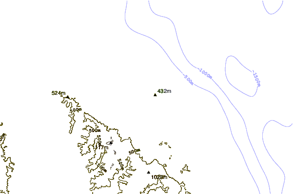
| Contours: | Roads & Rivers: | Select a
tide station / surf break / city |
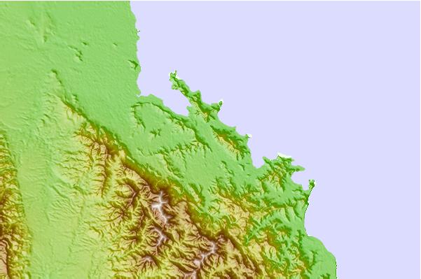
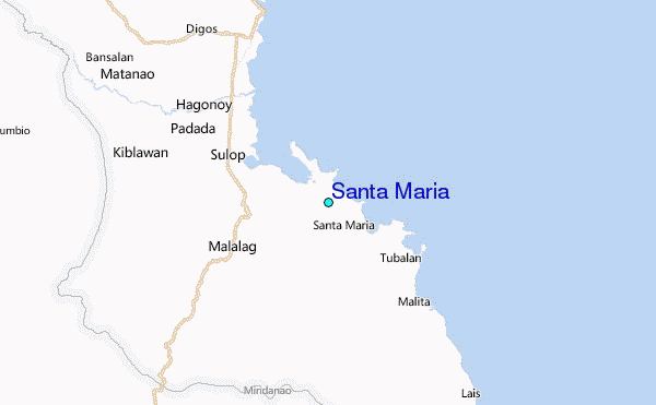
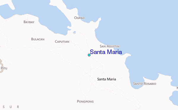
Use this relief map to navigate to tide stations, surf breaks and cities that are in the area of Santa Maria.
Other Nearby Locations' tide tables and tide charts to Santa Maria:
click location name for more details
 Surf breaks close to Santa Maria:
|
||
|---|---|---|
| Closest surf break | Tago River | 178 mi |
| Second closest surf break | Marami Beach | 182 mi |
| Third closest surf break | Lanuza Rivermouth | 190 mi |
| Fourth closest surf break | Big Star | 191 mi |
| Fifth closest surf break | Moshi-Moshi | 193 mi |


 Nearest
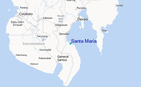