
| Distance / Altitude | Location | Report Date / Time | Live Weather | Wind | Gusts | Temp. | Visibility | Cloud |
|---|---|---|---|---|---|---|---|---|
| 2 km S / 2 m | Santos wx (Brazil) | 2026-06-09 00:41 local (2026/06/09 03:41 GMT) | dry | calm (0 km/h at 331) | 17°C | - | - - 0 | |
| 49 km WNW / 803 m | São Paulo Congonhas Airport (Brazil) | 2026-06-08 23:00 local (2026/06/09 02:00 GMT) | Dry and partly cloudy | calm (2 km/h at 1) | — | 0.0 | scattered scattered - | |
| 49 km WNW / 776 m | Sao Paulo (Brazil) | 2026-06-09 00:53 local (2026/06/09 03:53 GMT) | dry | calm (2 km/h at 6) | 16°C | - | - - 0 | |
| 50 km WNW / 803 m | Sao Paulo (Aero) (Brazil) | 2026-06-09 00:00 local (2026/06/09 03:00 GMT) | no report | calm (4 km/h at 320) | 15°C | 9 | - - - | |
| 57 km NW / 490 m | Marte Airport (Brazil) | 2026-06-08 23:00 local (2026/06/09 02:00 GMT) | - | calm (0 km/h at 0) | — | 0.0 | ||
| 59 km NW / 750 m | Garulhos (Aero) (Brazil) | 2026-06-09 00:00 local (2026/06/09 03:00 GMT) | no report | - (- km/h at -) | 10°C | 20 | - | |
| 59 km NW / 794 m | Santana (São Paulo) (Brazil) | 2026-06-09 00:00 local (2026/06/09 03:00 GMT) | no report | calm (0 km/h at 100) | 15°C | - | - | |
| 59 km NW / 722 m | Marte (Aero) (Brazil) | 2026-06-09 00:00 local (2026/06/09 03:00 GMT) | no report | - (- km/h at -) | 10°C | 20 | - | |
| 60 km WNW / 629 m | Lapa wx (Brazil) | 2026-06-09 00:01 local (2026/06/09 03:01 GMT) | dry | calm (0 km/h at 157) | 14°C | - | - - 0 | |
| 61 km NW / 709 m | Guarulhos Airport (Brazil) | 2026-06-08 23:00 local (2026/06/09 02:00 GMT) | Dry and partly cloudy | light winds from the E (7 km/h at 80) | 13°C | 9.0 | no significant cloud |
| Contours: | Roads & Rivers: | Select a
tide station / surf break / city |
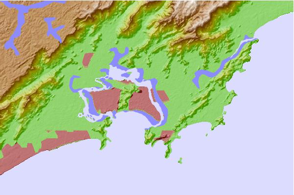
Use this relief map to navigate to tide stations, surf breaks and cities that are in the area of Santos, Brazil.
Other Nearby Locations' tide tables and tide charts to Santos, Brazil:
click location name for more details
 Surf breaks close to Santos, Brazil:
|
||
|---|---|---|
| Closest surf break | Embare | 2 mi |
| Second closest surf break | Gongaza | 2 mi |
| Third closest surf break | Quebra Mar | 2 mi |
| Fourth closest surf break | Ilha Porchat | 4 mi |
| Fifth closest surf break | Porta do Sol | 4 mi |


 Nearest