
| Distance / Altitude | Location | Report Date / Time | Live Weather | Wind | Gusts | Temp. | Visibility | Cloud |
|---|---|---|---|---|---|---|---|---|
| 27 km WNW / 30 m | Negril (Jamaica) | 2024-04-26 21:35 local (2024/04/27 02:35 GMT) | dry | calm (0 km/h at 76) | 27°C | - | - - 0 | |
| 39 km NE / 8 m | MontegoBaySangster (Jamaica) | 2024-04-26 22:00 local (2024/04/27 03:00 GMT) | Haze | light winds from the E (11 km/h at 100) | 27°C | 35 km | few | |
| 39 km NE / 193 m | Sangster/Montego Bay Airport (Jamaica) | 2024-04-26 21:00 local (2024/04/27 02:00 GMT) | Thunderstorm - in the vicinity | light winds from the E (9 km/h at 90) | 27°C | 10.0 | few | |
| 146 km ESE / 191 m | Kingston/Norman Manley International Airport (Jamaica) | 2024-04-26 22:00 local (2024/04/27 03:00 GMT) | Haze | light winds from the NNW (9 km/h at 340) | 29°C | 42 km | few few - | |
| 242 km WNW / 24 m | Cayman Brac (Cayman Islands) | 2024-04-26 20:49 local (2024/04/27 01:49 GMT) | dry | calm (0 km/h at 11) | 26°C | - | - - 0 |
| Contours: | Roads & Rivers: | Select a
tide station / surf break / city |
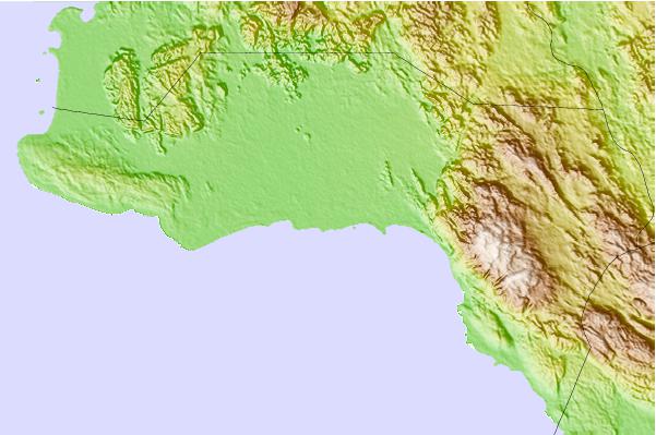
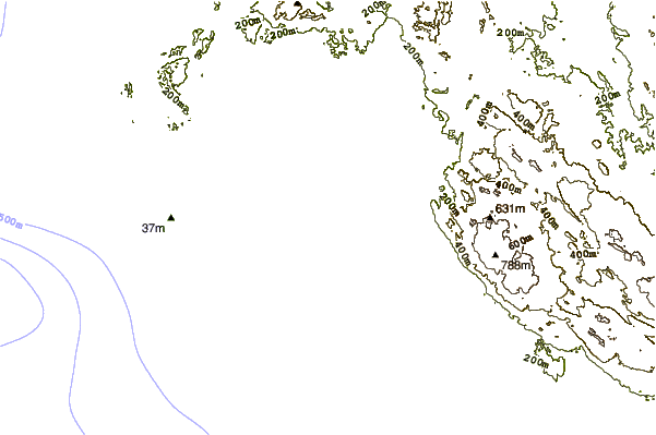
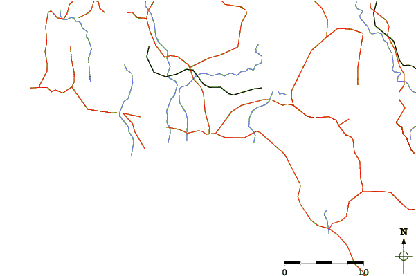
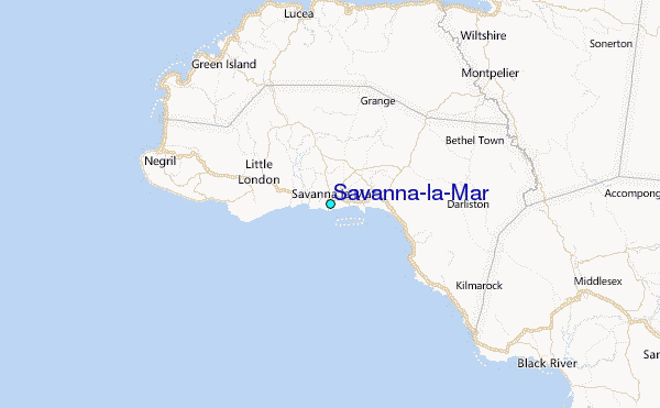
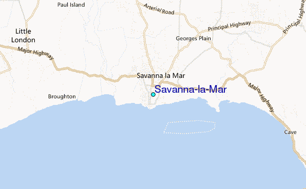
Use this relief map to navigate to tide stations, surf breaks and cities that are in the area of Savanna-la-Mar.
Other Nearby Locations' tide tables and tide charts to Savanna-la-Mar:
click location name for more details
 Surf breaks close to Savanna-la-Mar:
|
||
|---|---|---|
| Closest surf break | Discovery Bay | 51 mi |
| Second closest surf break | Runaway Bay | 55 mi |
| Third closest surf break | Lighthouse 2 | 91 mi |
| Fourth closest surf break | Zoo (Bull Bay) | 95 mi |
| Fifth closest surf break | Copa (Bull Bay) | 96 mi |

 Nearest
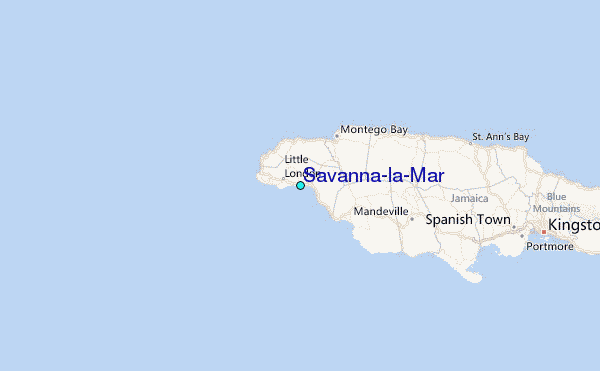