
| Distance / Altitude | Location | Report Date / Time | Live Weather | Wind | Gusts | Temp. | Visibility | Cloud |
|---|---|---|---|---|---|---|---|---|
| 47 km N / 215 m | Kake Airport (Alaska) | 2025-12-26 00:56 local (2025/12/26 09:56 GMT) | Dry and partly cloudy | light winds from the N (13 km/h at 350) | -8°C | 16 | scattered | |
| 61 km ENE / - m | SHIP587 (ocean) | 2025-12-26 01:00 local (2025/12/26 10:00 GMT) | - | light winds from the SE (13 km/h at 130) | -10°C | - | no observation | |
| 61 km ENE / 46 m | Scow Bay wx (United States) | 2025-12-26 01:26 local (2025/12/26 10:26 GMT) | - | calm (0 km/h at 202) | -11°C | - | - - 0 | |
| 62 km ENE / 216 m | Petersburg Airport (Alaska) | 2025-12-26 00:56 local (2025/12/26 09:56 GMT) | Clear | wind obs. (6 kph from 250 degs) was rejected (- km/h at -) | -11°C | 16 | ||
| 63 km S / 3 m | BUOY-CDEA2 (Marine) | 2025-12-26 01:22 local (2025/12/26 10:22 GMT) | calm (4 km/h at 260) | -5°C | - | |||
| 62 km ENE / - m | SHIP1246 (ocean) | 2025-12-26 02:00 local (2025/12/26 11:00 GMT) | - | light winds from the SSE (15 km/h at 150) | -10°C | - | no observation | |
| 62 km ENE / - m | SHIP1332 (ocean) | 2025-12-26 01:00 local (2025/12/26 10:00 GMT) | - | light winds from the SE (13 km/h at 130) | -10°C | - | no observation | |
| 62 km ENE / 15 m | SHIP4438 (Marine) | 2025-12-26 00:00 local (2025/12/26 09:00 GMT) | light winds from the SSE (9.360000000000001 km/h at 150) | — | - km | |||
| 62 km ENE / - m | SHIP1262 (ocean) | 2025-12-26 00:00 local (2025/12/26 09:00 GMT) | - | light winds from the SSE (11 km/h at 150) | -9°C | - | no observation | |
| 62 km ENE / 15 m | SHIP3409 (Marine) | 2025-12-26 01:00 local (2025/12/26 10:00 GMT) | light winds from the SE (12.96 km/h at 140) | — | - km |
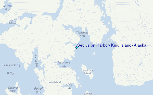
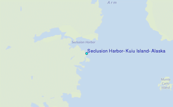
Choose Seclusion Harbor, Kuiu Island, Alaska Location Map Zoom:
| Contours: | Roads & Rivers: | Select a
tide station / surf break / city |
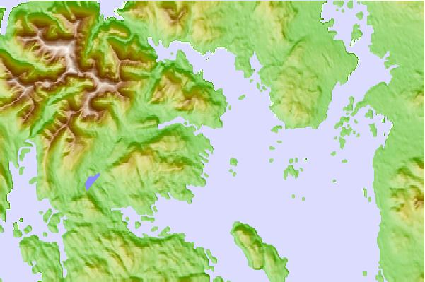
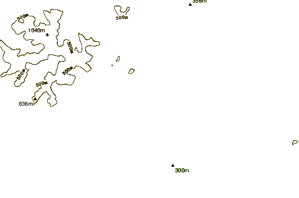
Use this relief map to navigate to tide stations, surf breaks and cities that are in the area of Seclusion Harbor, Kuiu Island, Alaska.
Other Nearby Locations' tide tables and tide charts to Seclusion Harbor, Kuiu Island, Alaska:
click location name for more details
 Surf breaks close to Seclusion Harbor, Kuiu Island, Alaska:
|
||
|---|---|---|
| Closest surf break | Lepus Beach (Haida-Gwaii) | 168 mi |
| Second closest surf break | Tow Hill Beach | 190 mi |
| Third closest surf break | Cannon Beach | 297 mi |
| Fourth closest surf break | Graveyards | 300 mi |
| Fifth closest surf break | Ocean Cape | 301 mi |


 Nearest
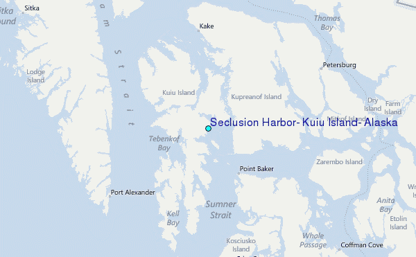