
| Distance / Altitude | Location | Report Date / Time | Live Weather | Wind | Gusts | Temp. | Visibility | Cloud |
|---|---|---|---|---|---|---|---|---|
| 30 km WSW / 3 m | BUOY-CAMM2 (Marine) | 2026-06-09 02:18 local (2026/06/09 06:18 GMT) | light winds from the SE (9 km/h at 140) | — | - | |||
| 31 km SE / 218 m | Salisbury Airport (Maryland) | 2026-06-09 00:54 local (2026/06/09 04:54 GMT) | Clear | calm (0 km/h at 0) | 11°C | 16 | ||
| 35 km ENE / 208 m | Georgetown Airport (Delaware) | 2026-06-09 00:54 local (2026/06/09 04:54 GMT) | Clear | calm (0 km/h at 0) | 12°C | 16 | ||
| 41 km WNW / 206 m | Easton/Newman Field (MD) Airport (United States) | 2026-06-09 01:35 local (2026/06/09 05:35 GMT) | Clear | light winds from the SE (6 km/h at 140) | 14°C | 16 | ||
| 42 km W / 3 m | BUOY-CXLM2 (Marine) | 2026-06-09 02:15 local (2026/06/09 06:15 GMT) | calm (4 km/h at 90) | — | - | |||
| 45 km SSW / 3 m | BUOY-BISM2 (Marine) | 2026-06-09 02:18 local (2026/06/09 06:18 GMT) | light winds from the ESE (18 km/h at 110) | — | - | |||
| 51 km ENE / 6 m | Lewes (Delaware) | 2026-06-09 02:51 local (2026/06/09 06:51 GMT) | dry | calm (0 km/h at 217) | 14°C | - | - - 0 | |
| 59 km WSW / - m | SHIP1125 (ocean) | 2026-06-09 02:00 local (2026/06/09 06:00 GMT) | - | moderate winds from the ESE (22 km/h at 110) | 16°C | - | no observation | |
| 59 km WSW / - m | SHIP893 (ocean) | 2026-06-09 01:00 local (2026/06/09 05:00 GMT) | - | moderate winds from the ESE (25 km/h at 110) | 16°C | - | no observation | |
| 59 km WSW / - m | SHIP1688 (ocean) | 2026-06-09 02:00 local (2026/06/09 06:00 GMT) | - | moderate winds from the ESE (22 km/h at 110) | 16°C | - | no observation |
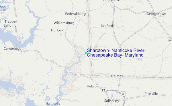
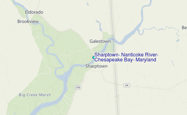
Choose Sharptown, Nanticoke River, Chesapeake Bay, Maryland Location Map Zoom:
| Contours: | Roads & Rivers: | Select a
tide station / surf break / city |
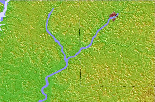

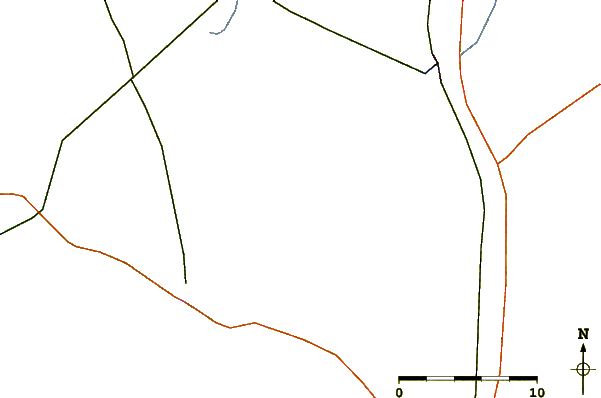
Use this relief map to navigate to tide stations, surf breaks and cities that are in the area of Sharptown, Nanticoke River, Chesapeake Bay, Maryland.
Other Nearby Locations' tide tables and tide charts to Sharptown, Nanticoke River, Chesapeake Bay, Maryland:
click location name for more details
 Surf breaks close to Sharptown, Nanticoke River, Chesapeake Bay, Maryland:
|
||
|---|---|---|
| Closest surf break | Indian River (Northside) | 36 mi |
| Second closest surf break | Indian River (Southside) | 36 mi |
| Third closest surf break | Bethany | 37 mi |
| Fourth closest surf break | Dewey Beach | 37 mi |
| Fifth closest surf break | Fenwick | 37 mi |


 Nearest
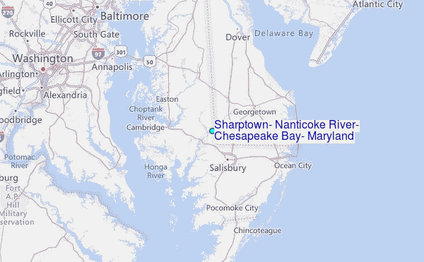