
| Distance / Altitude | Location | Report Date / Time | Live Weather | Wind | Gusts | Temp. | Visibility | Cloud |
|---|---|---|---|---|---|---|---|---|
| 37 km S / 31 m | Ship Shoal178 (Louisiana) | 2026-06-08 22:35 local (2026/06/09 03:35 GMT) | Clear | moderate winds from the ESE (28 km/h at 120) | 28°C | 16 | ||
| 37 km S / 3 m | BUOY-KSPR (Marine) | 2026-06-08 23:35 local (2026/06/09 04:35 GMT) | moderate winds from the ESE (28 km/h at 120) | 28°C | 16.1 | |||
| 59 km NW / 3 m | BUOY-EINL1 (Marine) | 2026-06-08 23:00 local (2026/06/09 04:00 GMT) | moderate winds from the ESE (22 km/h at 120) | 28°C | - | |||
| 62 km SSW / 15 m | ASCATB269E28N (Marine) | 2026-06-08 21:24 local (2026/06/09 02:24 GMT) | fresh winds from the ESE (29 km/h at 114) | — | - km | |||
| 65 km NW / 3 m | BUOY-AMRL1 (Marine) | 2026-06-08 23:00 local (2026/06/09 04:00 GMT) | calm (5 km/h at 110) | 27°C | - | |||
| 84 km SSW / 15 m | ASCATB268E28N (Marine) | 2026-06-08 21:24 local (2026/06/09 02:24 GMT) | fresh winds from the ESE (29 km/h at 112) | — | - km | |||
| 85 km N / 3 m | BUOY-TESL1 (Marine) | 2026-06-08 23:00 local (2026/06/09 04:00 GMT) | calm (5 km/h at 70) | 26°C | - | |||
| 88 km ENE / 3 m | BUOY-PTFL1 (Marine) | 2026-06-08 23:00 local (2026/06/09 04:00 GMT) | - (- km/h at -) | 27°C | - | |||
| 92 km NW / 209 m | Patterson Williams Memorial Airport (Louisiana) | 2026-06-08 21:56 local (2026/06/09 02:56 GMT) | Clear | calm (0 km/h at 0) | 26°C | 16 | ||
| 97 km SE / 15 m | ASCATB270E28N (Marine) | 2026-06-08 21:24 local (2026/06/09 02:24 GMT) | moderate winds from the ESE (26 km/h at 102) | — | - km |
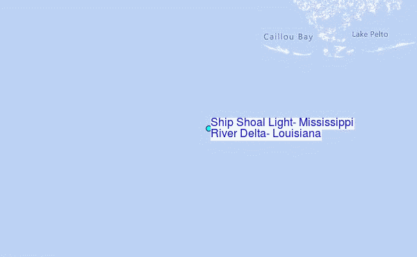
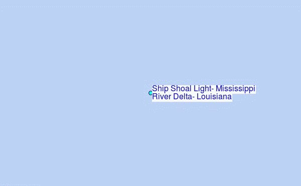
Choose Ship Shoal Light, Mississippi River Delta, Louisiana Location Map Zoom:
| Contours: | Roads & Rivers: | Select a
tide station / surf break / city |

Use this relief map to navigate to tide stations, surf breaks and cities that are in the area of Ship Shoal Light, Mississippi River Delta, Louisiana.
Other Nearby Locations' tide tables and tide charts to Ship Shoal Light, Mississippi River Delta, Louisiana:
click location name for more details
 Surf breaks close to Ship Shoal Light, Mississippi River Delta, Louisiana:
|
||
|---|---|---|
| Closest surf break | Chandeleur Islands | 149 mi |
| Second closest surf break | Holly Beach | 156 mi |
| Third closest surf break | Dauphin Island Pier | 203 mi |
| Fourth closest surf break | Bolivar | 209 mi |
| Fifth closest surf break | West Pass | 221 mi |


 Nearest
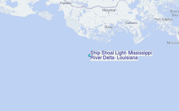