
| Distance / Altitude | Location | Report Date / Time | Live Weather | Wind | Gusts | Temp. | Visibility | Cloud |
|---|---|---|---|---|---|---|---|---|
| 4 km WSW / 3 m | BUOY-46120 (Marine) | 2025-12-24 11:50 local (2025/12/24 19:50 GMT) | light winds from the S (11 km/h at 190) | 6°C | - | |||
| 13 km SSW / 3 m | BUOY-WPOW1 (Marine) | 2025-12-24 12:00 local (2025/12/24 20:00 GMT) | light winds from the SSW (15 km/h at 200) | 5°C | - | |||
| 18 km NNE / 218 m | Everett Airport (Washington) | 2025-12-24 11:07 local (2025/12/24 19:07 GMT) | Mist - | light winds from the NW (6 km/h at 320) | 4°C | 2 | overcast | |
| 19 km S / 100 m | Seattle (Washington) | 2025-12-24 12:47 local (2025/12/24 20:47 GMT) | - | calm (3 km/h at 243) | — | - | - - 0 | |
| 23 km S / 218 m | Seattle/Boeing Airport (Washington) | 2025-12-24 11:39 local (2025/12/24 19:39 GMT) | Light rain | calm (0 km/h at 0) | 7°C | 5 | few broken | |
| 29 km S / 15 m | SHIP3279 (Marine) | 2025-12-24 10:00 local (2025/12/24 18:00 GMT) | - (- km/h at -) | — | - km | |||
| 29 km S / 15 m | SHIP4738 (Marine) | 2025-12-24 10:00 local (2025/12/24 18:00 GMT) | - (- km/h at -) | — | - km | |||
| 29 km S / 15 m | SHIP8486 (Marine) | 2025-12-24 10:00 local (2025/12/24 18:00 GMT) | - (- km/h at -) | — | - km | |||
| 29 km S / 15 m | SHIP10706 (Marine) | 2025-12-24 10:00 local (2025/12/24 18:00 GMT) | - (- km/h at -) | — | - km | |||
| 29 km S / 3 m | SHIP2986 (Marine) | 2025-12-24 10:00 local (2025/12/24 18:00 GMT) | - (- km/h at -) | 7°C | - |
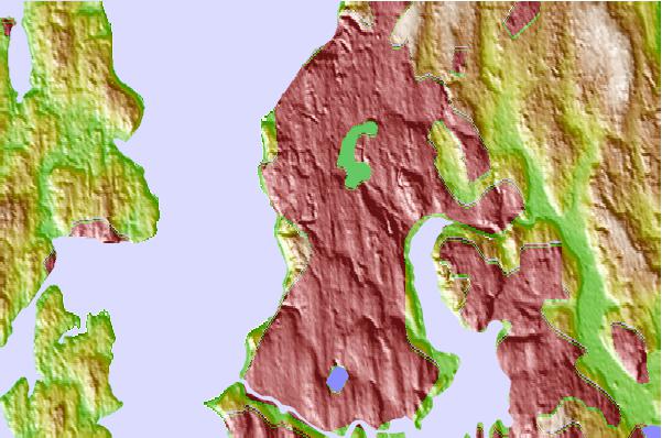
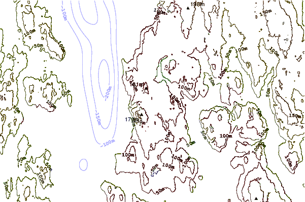
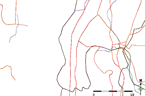
| Contours: | Roads & Rivers: | Select a
tide station / surf break / city |
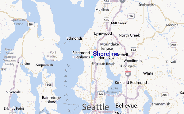
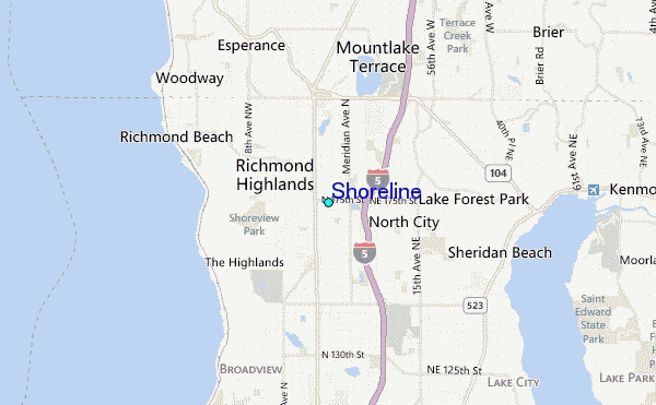
Use this relief map to navigate to tide stations, surf breaks and cities that are in the area of Shoreline.
Other Nearby Locations' tide tables and tide charts to Shoreline:
click location name for more details
 Surf breaks close to Shoreline:
|
||
|---|---|---|
| Closest surf break | Fort. Ebey | 38 mi |
| Second closest surf break | Super green | 50 mi |
| Third closest surf break | Elwha | 63 mi |
| Fourth closest surf break | Crescent | 70 mi |
| Fifth closest surf break | Whiskey Creek | 72 mi |


 Nearest
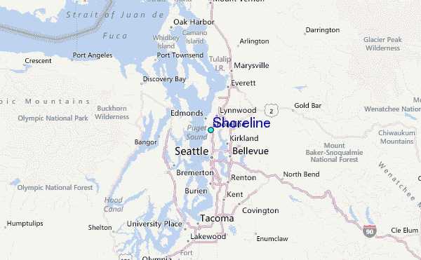