
| Distance / Altitude | Location | Report Date / Time | Live Weather | Wind | Gusts | Temp. | Visibility | Cloud |
|---|---|---|---|---|---|---|---|---|
| 88 km E / 15 m | ASCATB115E8S (Marine) | 2025-12-18 07:56 local (2025/12/18 00:56 GMT) | moderate winds from the NNE (21 km/h at 15) | — | - km | |||
| 113 km ENE / 15 m | ASCATB115E7S (Marine) | 2025-12-18 07:55 local (2025/12/18 00:55 GMT) | light winds from the N (18 km/h at 360) | — | - km | |||
| 140 km W / 2 m | Juanda Airport (Indonesia) | 2025-12-18 08:30 local (2025/12/18 01:30 GMT) | Haze - | light winds from the SSE (6 km/h at 150) | 30°C | 5.0 | few | |
| 141 km N / 15 m | ASCATB114E6S (Marine) | 2025-12-18 07:55 local (2025/12/18 00:55 GMT) | moderate winds from the WNW (20 km/h at 286) | — | - km | |||
| 141 km NW / 15 m | ASCATB114E7S (Marine) | 2025-12-18 07:55 local (2025/12/18 00:55 GMT) | light winds from the WNW (18 km/h at 290) | — | - km | |||
| 145 km NNE / 15 m | ASCATB115E6S (Marine) | 2025-12-18 07:55 local (2025/12/18 00:55 GMT) | light winds from the WNW (18 km/h at 304) | — | - km | |||
| 152 km W / 3 m | SurabayaPerakI (Indonesia) | 2025-12-18 07:00 local (2025/12/18 00:00 GMT) | - | calm (4 km/h at 360) | 27°C | 30 km | - mostly cloudy - | |
| 171 km SE / 216 m | Bali International Airport (Indonesia) | 2025-12-18 08:30 local (2025/12/18 01:30 GMT) | - | light winds from the ESE (13 km/h at 120) | 30°C | 10.0 | few | |
| 173 km SE / 1 m | DenpasarNgurahRai (Indonesia) | 2025-12-18 07:00 local (2025/12/18 00:00 GMT) | - | light winds from the E (7 km/h at 80) | 28°C | 30 km | scattered | |
| 175 km E / 15 m | ASCATB116E7S (Marine) | 2025-12-18 07:55 local (2025/12/18 00:55 GMT) | light winds from the NNE (15 km/h at 11) | — | - km |
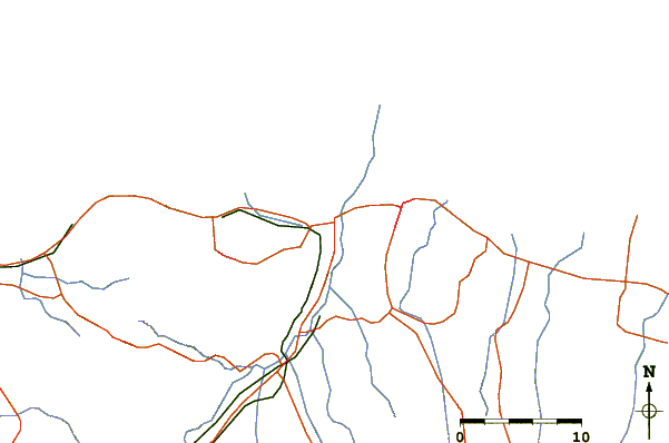
| Contours: | Roads & Rivers: | Select a
tide station / surf break / city |
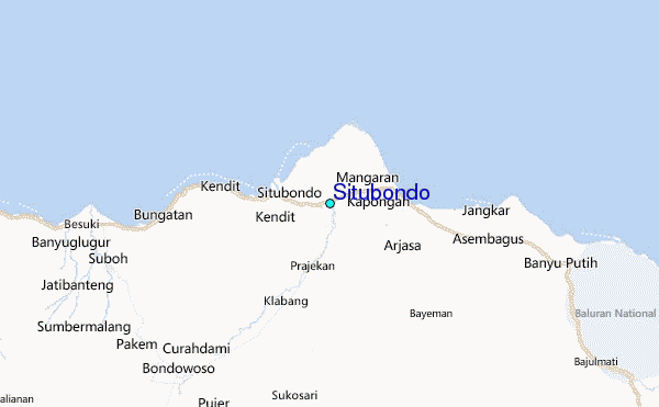
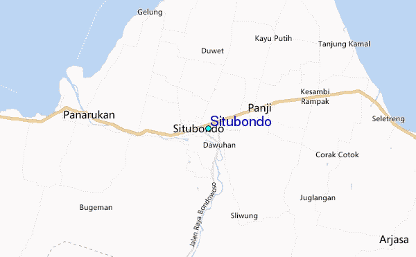
Use this relief map to navigate to tide stations, surf breaks and cities that are in the area of Situbondo.
Other Nearby Locations' tide tables and tide charts to Situbondo:
click location name for more details
 Surf breaks close to Situbondo:
|
||
|---|---|---|
| Closest surf break | Tanjung Kucur | 72 mi |
| Second closest surf break | Grajagan Bay/G-Land | 74 mi |
| Third closest surf break | Medewi | 75 mi |
| Fourth closest surf break | Balian | 86 mi |
| Fifth closest surf break | Pererenan | 101 mi |


 Nearest
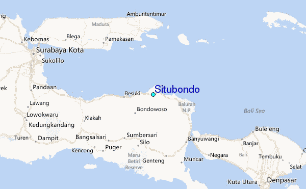