
| Distance / Altitude | Location | Report Date / Time | Live Weather | Wind | Gusts | Temp. | Visibility | Cloud |
|---|---|---|---|---|---|---|---|---|
| 18 km WSW / 458 m | Mount Kent (Falkland Islands) | 2024-04-25 20:00 local (2024/04/25 23:00 GMT) | no report | strong winds from the NW (39 km/h at 310) | 5°C | - | - - - | |
| 43 km SW / 214 m | Mount Pleasant Airport (Falkland Islands) | 2024-04-25 20:00 local (2024/04/25 23:00 GMT) | no report | fresh winds from the NW (33 km/h at 310) | 8°C | 29 | few - - | |
| 171 km S / 3 m | SHIP1908 (Marine) | 2024-04-25 20:00 local (2024/04/25 23:00 GMT) | - (- km/h at -) | 8°C | - | |||
| 190 km WSW / 480 m | Mount Byron (Islands) | 2024-04-25 20:00 local (2024/04/25 23:00 GMT) | no report | strong winds from the W (39 km/h at 260) | 5°C | - | - | |
| 195 km SW / 361 m | Mount Alice (Falkland Islands) | 2024-04-25 20:00 local (2024/04/25 23:00 GMT) | no report | gales from the W (65 km/h at 260) | 5°C | - | - |
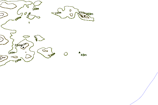
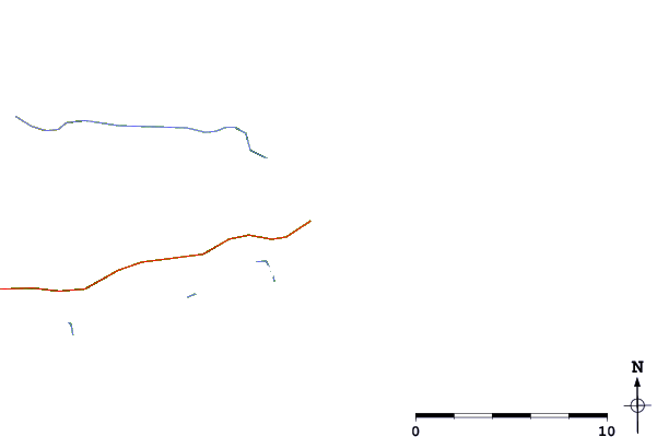
| Contours: | Roads & Rivers: | Select a
tide station / surf break / city |
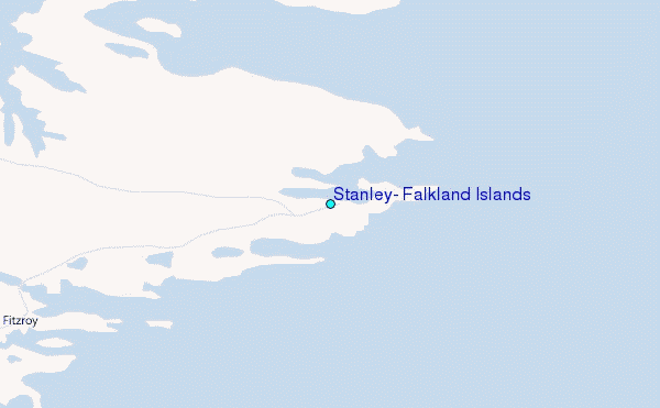
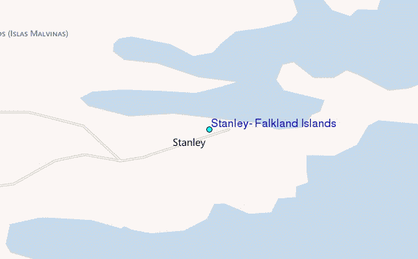
Use this relief map to navigate to tide stations, surf breaks and cities that are in the area of Stanley, Falkland Islands.
Other Nearby Locations' tide tables and tide charts to Stanley, Falkland Islands:
click location name for more details
 Surf breaks close to Stanley, Falkland Islands:
|
||
|---|---|---|
| Closest surf break | Surf Bay | 3 mi |
| Second closest surf break | Cow Bay | 18 mi |
| Third closest surf break | Bertha's Beach | 27 mi |
| Fourth closest surf break | Concirdia Bay | 42 mi |
| Fifth closest surf break | Elephant Beach | 49 mi |

 Nearest
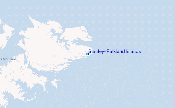