
| Distance / Altitude | Location | Report Date / Time | Live Weather | Wind | Gusts | Temp. | Visibility | Cloud |
|---|---|---|---|---|---|---|---|---|
| 6 km NW / 354 m | Fort Maginnis (Grass Range) (Montana) (Montana) | 2024-04-26 07:55 local (2024/04/26 11:55 GMT) | Dry and cloudy | moderate winds from the W (24 km/h at 270) | 8°C | 16 | scattered overcast | |
| 9 km ESE / 197 m | Ile D'Orleans (Quebec) | 2024-04-26 08:00 local (2024/04/26 12:00 GMT) | - | light winds from the SW (9 km/h at 220) | — | 0.0 | - - - | |
| 10 km ESE / 4 m | Ile D orleans- Que (Canada) | 2024-04-26 08:00 local (2024/04/26 12:00 GMT) | no report | light winds from the SSW (18 km/h at 200) | — | - | - no observation - | |
| 12 km NNE / 158 m | St-Aubert () | 2024-04-26 09:34 local (2024/04/26 13:34 GMT) | dry | light winds from the NW (11 km/h at 321) | 4°C | - | - - 0 | |
| 13 km ENE / 197 m | Cap Tourmente Airport (Quebec) | 2024-04-26 08:00 local (2024/04/26 12:00 GMT) | - | calm (4 km/h at 310) | 4°C | 0.0 |
| Contours: | Roads & Rivers: | Select a
tide station / surf break / city |
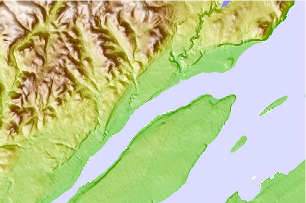
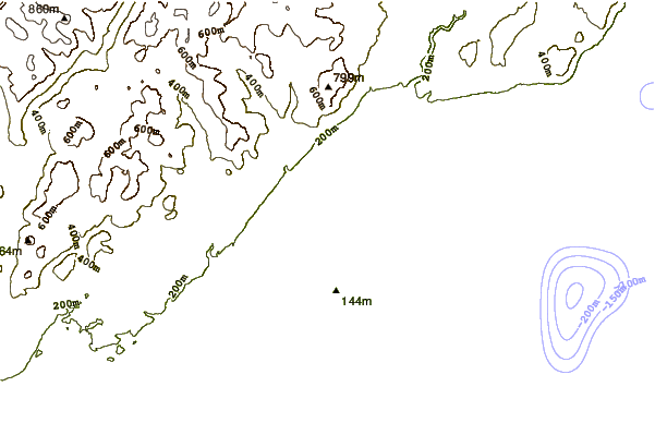
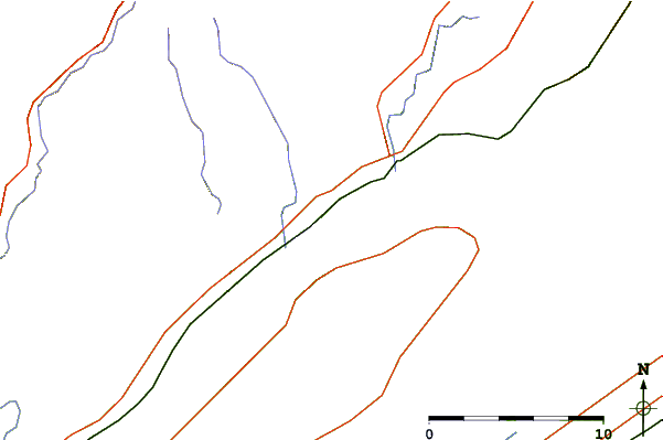
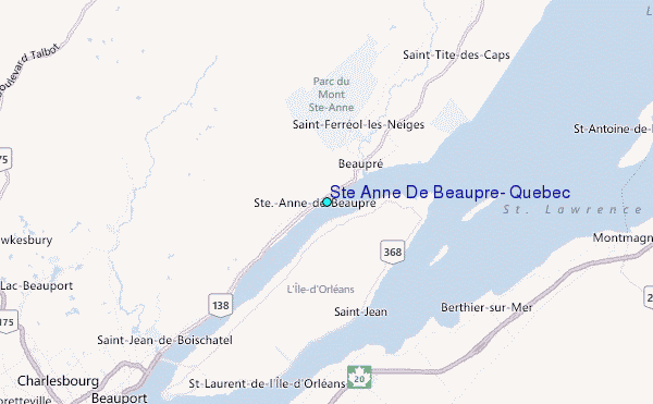
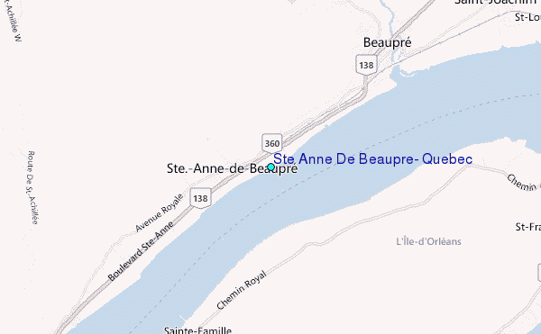
Use this relief map to navigate to tide stations, surf breaks and cities that are in the area of Ste Anne De Beaupre, Quebec.
Other Nearby Locations' tide tables and tide charts to Ste Anne De Beaupre, Quebec:
click location name for more details
 Surf breaks close to Ste Anne De Beaupre, Quebec:
|
||
|---|---|---|
| Closest surf break | Trayhan's | 231 mi |
| Second closest surf break | Popham Read | 234 mi |
| Third closest surf break | Doc Browns | 241 mi |
| Fourth closest surf break | Higgins Beach | 241 mi |
| Fifth closest surf break | Pine Point | 242 mi |

 Nearest
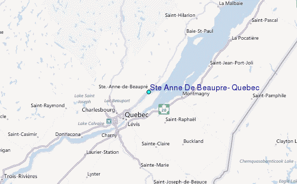