
| Distance / Altitude | Location | Report Date / Time | Live Weather | Wind | Gusts | Temp. | Visibility | Cloud |
|---|---|---|---|---|---|---|---|---|
| 9 km SSE / 0 m | Olongapo/Subic Bay Airport (Philippines) | 2025-12-21 05:00 local (2025/12/20 21:00 GMT) | haze | light winds from the ENE.(Wind varies from 030 to 090 degs) (11 km/h at 60) | 26°C | 10.0 | few - - | |
| 49 km NE / 584 m | Angeles/Pampanga Airport (Philippines) | 2025-12-21 04:00 local (2025/12/20 20:00 GMT) | Dry and partly cloudy | wind obs. (7 kph from 270 degs) was rejected (- km/h at -) | 24°C | 10.0 | scattered broken | |
| 49 km NE / 155 m | Clark AB (Philippines) | 2025-12-21 05:00 local (2025/12/20 21:00 GMT) | - | wind obs. (18 kph from 180 degs) was rejected (- km/h at -) | — | 15 | - | |
| 58 km NW / 5 m | Iba (Philippines) | 2025-12-21 05:00 local (2025/12/20 21:00 GMT) | - | wind obs. (18 kph from 220 degs) was rejected (- km/h at -) | — | 20 | - | |
| 68 km ESE / 15 m | SHIP8073 (Marine) | 2025-12-21 03:00 local (2025/12/20 19:00 GMT) | - (- km/h at -) | — | - km | |||
| 68 km ESE / 15 m | SHIP3947 (Marine) | 2025-12-21 03:00 local (2025/12/20 19:00 GMT) | - (- km/h at -) | — | - km | |||
| 68 km ESE / 15 m | SHIP9749 (Marine) | 2025-12-21 03:00 local (2025/12/20 19:00 GMT) | - (- km/h at -) | — | - km | |||
| 68 km ESE / 3 m | SHIP8909 (Marine) | 2025-12-21 03:00 local (2025/12/20 19:00 GMT) | - (- km/h at -) | 25°C | - | |||
| 68 km ESE / 15 m | SHIP4599 (Marine) | 2025-12-21 03:00 local (2025/12/20 19:00 GMT) | - (- km/h at -) | — | - km | |||
| 68 km ESE / 15 m | SHIP3062 (Marine) | 2025-12-21 03:00 local (2025/12/20 19:00 GMT) | - (- km/h at -) | — | - km |
| Contours: | Roads & Rivers: | Select a
tide station / surf break / city |
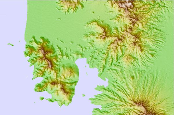
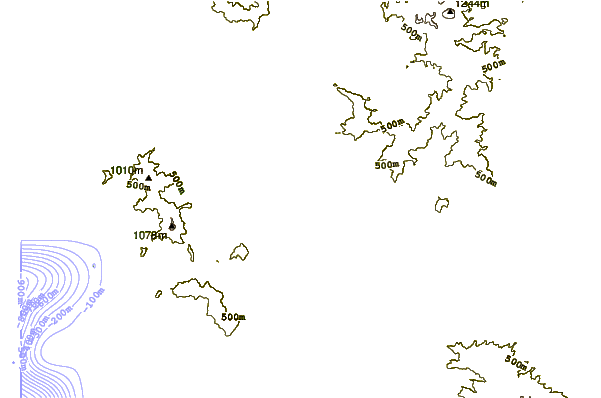
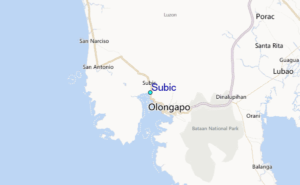
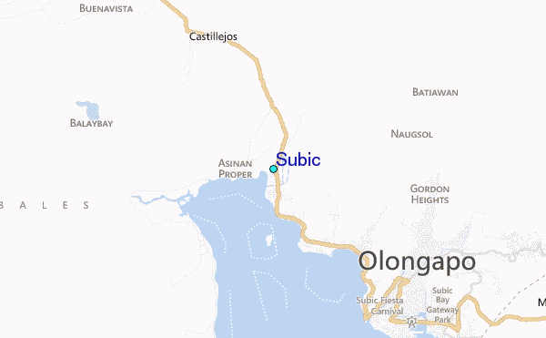
Use this relief map to navigate to tide stations, surf breaks and cities that are in the area of Subic.
Other Nearby Locations' tide tables and tide charts to Subic:
click location name for more details
 Surf breaks close to Subic:
|
||
|---|---|---|
| Closest surf break | Baler - Charlie's Point | 108 mi |
| Second closest surf break | Baler - Lindy's Point | 108 mi |
| Third closest surf break | Baler - Sabang | 108 mi |
| Fourth closest surf break | Cobra Reef - Cemento | 109 mi |
| Fifth closest surf break | Bauang | 115 mi |


 Nearest
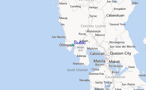