
| Distance / Altitude | Location | Report Date / Time | Live Weather | Wind | Gusts | Temp. | Visibility | Cloud |
|---|---|---|---|---|---|---|---|---|
| 26 km NNE / 100 m | Ambulong (Philippines) | 2025-12-25 14:00 local (2025/12/25 06:00 GMT) | no report | - (- km/h at -) | 31°C | 18 | - - - | |
| 59 km SSE / 41 m | Calapan (Philippines) | 2025-12-25 14:00 local (2025/12/25 06:00 GMT) | haze | calm (4 km/h at 90) | 30°C | 20 | - | |
| 64 km N / 22 m | Sucat (Philippines) | 2025-12-25 15:49 local (2025/12/25 07:49 GMT) | dry | wind obs. (6 kph from 157 degs) was rejected (- km/h at -) | 29°C | - | - - 0 | |
| 68 km N / 26 m | Paranaque (Philippines) | 2025-12-25 15:48 local (2025/12/25 07:48 GMT) | dry | light winds from the ESE (11 km/h at 107) | 29°C | - | - - 0 | |
| 69 km N / 2 m | Sangley Point (Philippines) | 2025-12-25 14:00 local (2025/12/25 06:00 GMT) | no report | light winds from the E (18 km/h at 90) | 32°C | 10 | - - - | |
| 70 km N / 15 m | Ninoy Aquino International Airport (Philippines) | 2025-12-25 14:00 local (2025/12/25 06:00 GMT) | no report | light winds from the E (11 km/h at 80) | 32°C | 10 | - - - | |
| 71 km N / 217 m | Ninoy Aquino International Airport (Manila) (Philippines) | 2025-12-25 14:00 local (2025/12/25 06:00 GMT) | Dry and partly cloudy | light winds from the SSE.(Wind varies from 060 to 210 degs) (7 km/h at 150) | 30°C | 10.0 | scattered broken broken | |
| 73 km ENE / 216 m | Tayabas (Philippines) | 2025-12-25 14:00 local (2025/12/25 06:00 GMT) | state of sky unchanged | light winds from the NE (7 km/h at 40) | 29°C | 8 | - | |
| 73 km NW / 15 m | SHIP3135 (Marine) | 2025-12-25 14:00 local (2025/12/25 06:00 GMT) | - (- km/h at -) | — | - km | |||
| 73 km NW / 15 m | SHIP8390 (Marine) | 2025-12-25 13:00 local (2025/12/25 05:00 GMT) | - (- km/h at -) | — | - km |
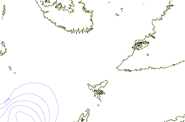
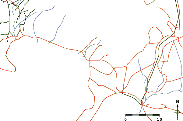
| Contours: | Roads & Rivers: | Select a
tide station / surf break / city |
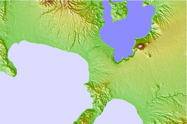
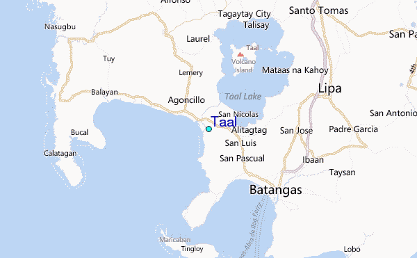
Use this relief map to navigate to tide stations, surf breaks and cities that are in the area of Taal.
Other Nearby Locations' tide tables and tide charts to Taal:
click location name for more details
 Surf breaks close to Taal:
|
||
|---|---|---|
| Closest surf break | Cobra Reef - Cemento | 137 mi |
| Second closest surf break | Baler - Charlie's Point | 137 mi |
| Third closest surf break | Baler - Lindy's Point | 137 mi |
| Fourth closest surf break | Baler - Sabang | 137 mi |
| Fifth closest surf break | Bagasbas Beach | 139 mi |


 Nearest
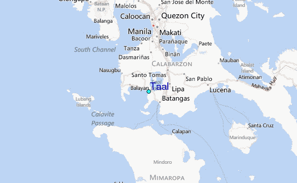