
| Distance / Altitude | Location | Report Date / Time | Live Weather | Wind | Gusts | Temp. | Visibility | Cloud |
|---|---|---|---|---|---|---|---|---|
| 37 km SSE / 216 m | Argentia Airport (Newfoundland) | 2025-12-20 15:30 local (2025/12/20 19:00 GMT) | - | near gales from the SW (54 km/h at 230) | 5°C | 0.0 | ||
| 41 km SSW / 27 m | MarticotIsland-Nfld (Canada) | 2025-12-20 16:30 local (2025/12/20 20:00 GMT) | no report | wind obs. (11 kph from 220 degs) was rejected (- km/h at -) | 9°C | - | - no observation - | |
| 69 km E / 32 m | Bay Roberts (Newfoundland) | 2025-12-20 15:54 local (2025/12/20 19:24 GMT) | dry | light winds from the SW (8 km/h at 227) | 4°C | - | - - 0 | |
| 75 km E / 52 m | The Battery wx (Canada) | 2025-12-20 15:30 local (2025/12/20 19:00 GMT) | dry | light winds from the WSW (19 km/h at 245) | 6°C | - | - - 0 | |
| 75 km ESE / 133 m | Deer Park (Canada) | 2025-12-20 16:43 local (2025/12/20 20:13 GMT) | dry | moderate winds from the SSW (24 km/h at 195) | 3°C | - | - - 0 | |
| 88 km ENE / 20 m | Gussetts Cove wx (Canada) | 2025-12-20 16:16 local (2025/12/20 19:46 GMT) | dry | wind obs. (56 kph from 158 degs) was rejected (- km/h at -) | 5°C | - | - - 0 | |
| 100 km E / 116 m | St. Phillips (Canada) | 2025-12-20 16:43 local (2025/12/20 20:13 GMT) | dry | light winds from the SW (11 km/h at 236) | 4°C | - | - - 0 | |
| 102 km E / 130 m | Portugal Cove (Canada) | 2025-12-20 16:13 local (2025/12/20 19:43 GMT) | dry | wind obs. (0 kph from 197 degs) was rejected (- km/h at -) | 4°C | - | - - 0 | |
| 107 km E / 115 m | STJohnsWest Climate- Nfld (Canada) | 2025-12-20 14:30 local (2025/12/20 18:00 GMT) | - | calm (4 km/h at 240) | — | - | - no observation - | |
| 108 km E / 192 m | Goulds (Canada) | 2025-12-20 16:13 local (2025/12/20 19:43 GMT) | dry | wind obs. (21 kph from 139 degs) was rejected (- km/h at -) | 4°C | - | - - 0 |
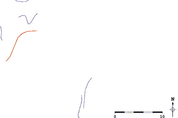
| Contours: | Roads & Rivers: | Select a
tide station / surf break / city |
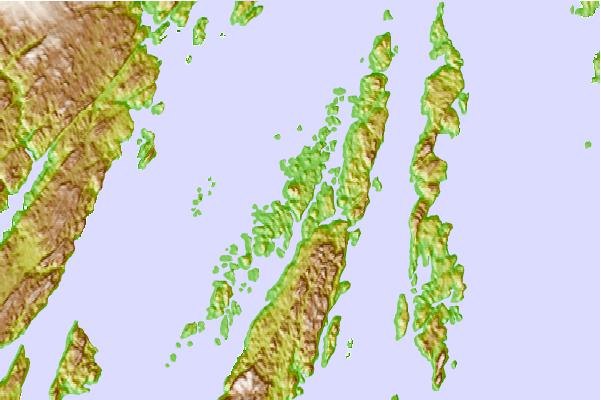
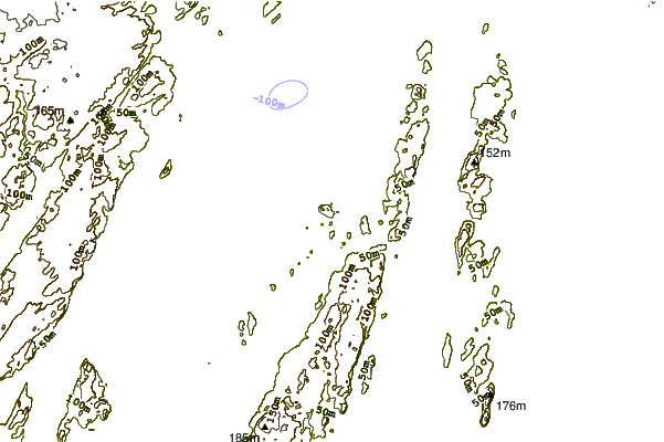
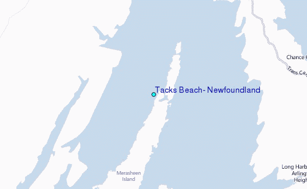
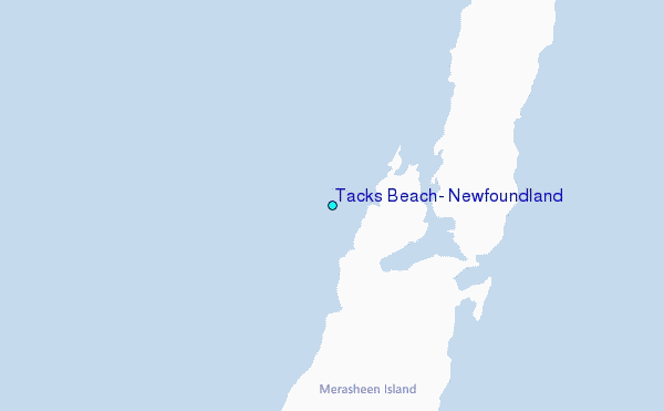
Use this relief map to navigate to tide stations, surf breaks and cities that are in the area of Tacks Beach, Newfoundland.
Other Nearby Locations' tide tables and tide charts to Tacks Beach, Newfoundland:
click location name for more details
 Surf breaks close to Tacks Beach, Newfoundland:
|
||
|---|---|---|
| Closest surf break | Ingonish Beach | 298 mi |
| Second closest surf break | Kennington Cove | 301 mi |
| Third closest surf break | Michaud Point | 338 mi |
| Fourth closest surf break | Martinique | 473 mi |
| Fifth closest surf break | Lawrencetown Left Point | 482 mi |


 Nearest
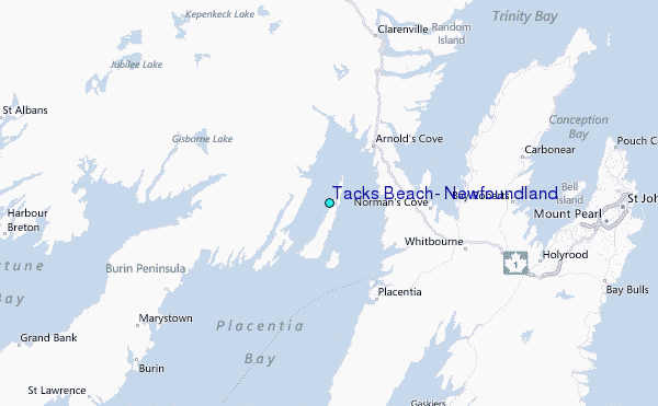