
| Distance / Altitude | Location | Report Date / Time | Live Weather | Wind | Gusts | Temp. | Visibility | Cloud |
|---|---|---|---|---|---|---|---|---|
| 6 km S / 386 m | Nankishirahama Airport (Japan) | 2026-06-10 05:00 local (2026/06/09 20:00 GMT) | Dry and partly cloudy | calm (4 km/h at 1) | 17°C | 10.0 | no significant cloud | |
| 47 km SE / 3 m | Shionomisaki (Marine) | 2026-06-10 06:02 local (2026/06/09 21:02 GMT) | - (- km/h at -) | — | - | |||
| 78 km N / 218 m | Kansai International Airport (Japan) | 2026-06-10 05:30 local (2026/06/09 20:30 GMT) | Dry and partly cloudy | light winds from the NE (19 km/h at 50) | 18°C | 10.0 | no cloud | |
| 82 km W / 108 m | Tokushima Airport (Japan) | 2026-06-10 05:00 local (2026/06/09 20:00 GMT) | Dry and partly cloudy | light winds from the NNW (17 km/h at 330) | 18°C | 10.0 | few scattered broken | |
| 87 km SW / 3 m | Kaiyo Tokushima (buoy) (Marine) | 2026-06-10 06:02 local (2026/06/09 21:02 GMT) | - (- km/h at -) | — | - | |||
| 91 km NW / 52 m | Kisokami wx (Japan) | 2026-06-10 06:47 local (2026/06/09 21:47 GMT) | dry | calm (0 km/h at 135) | 16°C | - | - - 0 | |
| 115 km N / 26 m | Nangōchō wx (Japan) | 2026-06-10 06:12 local (2026/06/09 21:12 GMT) | - | calm (0 km/h at 0) | — | - | - - 0 | |
| 117 km N / 475 m | Osaka International Airport (Japan) | 2026-06-10 05:00 local (2026/06/09 20:00 GMT) | Dry and partly cloudy | light winds from the NNW (11 km/h at 340) | 16°C | 10.0 | no cloud | |
| 119 km N / 22 m | Senriokahigashi wx (Japan) | 2026-06-10 06:34 local (2026/06/09 21:34 GMT) | - | calm (5 km/h at 49) | 24°C | - | - - 0 | |
| 122 km NNE / 19 m | Yamanoue wx (Japan) | 2026-06-10 06:42 local (2026/06/09 21:42 GMT) | dry | calm (0 km/h at 315) | 18°C | - | - - 0 |
| Contours: | Roads & Rivers: | Select a
tide station / surf break / city |
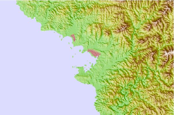
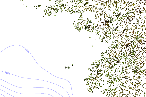
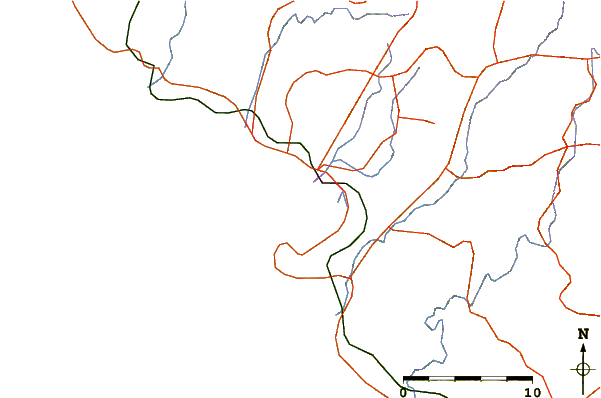
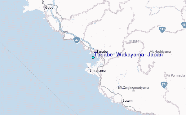
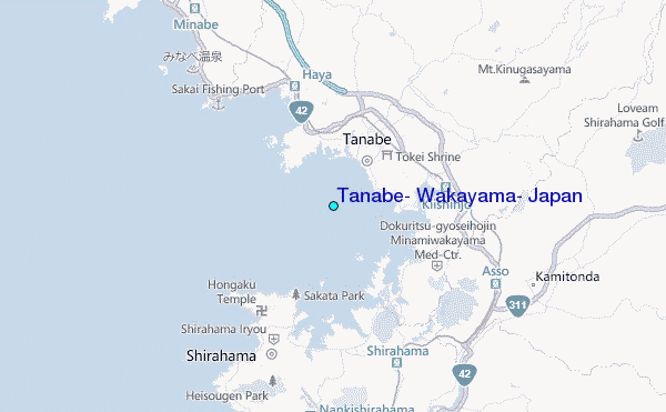
Use this relief map to navigate to tide stations, surf breaks and cities that are in the area of Tanabe, Wakayama, Japan.
Other Nearby Locations' tide tables and tide charts to Tanabe, Wakayama, Japan:
click location name for more details
 Surf breaks close to Tanabe, Wakayama, Japan:
|
||
|---|---|---|
| Closest surf break | Gomoda | 37 mi |
| Second closest surf break | Nunoshima | 45 mi |
| Third closest surf break | Tainohama | 46 mi |
| Fourth closest surf break | Hashikui Bay | 47 mi |
| Fifth closest surf break | Teba Shima | 55 mi |


 Nearest
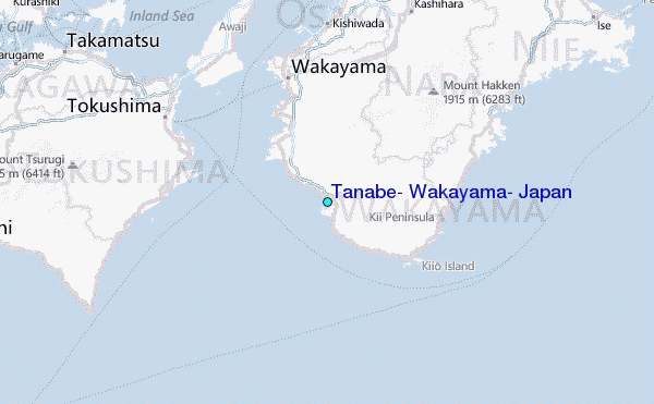