
| Distance / Altitude | Location | Report Date / Time | Live Weather | Wind | Gusts | Temp. | Visibility | Cloud |
|---|---|---|---|---|---|---|---|---|
| 95 km ENE / 506 m | Adak Naval Air Station Airport (Alaska) | 2024-04-25 21:17 local (2024/04/26 06:17 GMT) | Dry and cloudy | light winds from the W (17 km/h at 280) | 2°C | 16 | broken overcast | |
| 95 km E / 3 m | BUOY-ADKA2 (Marine) | 2024-04-25 22:00 local (2024/04/26 07:00 GMT) | moderate winds from the W (22 km/h at 280) | 2°C | - | |||
| 266 km ENE / 211 m | Atka Airport (Alaska) | 2024-04-25 20:56 local (2024/04/26 05:56 GMT) | Dry and cloudy | fresh winds from the W (37 km/h at 260) | 3°C | 16 | scattered broken overcast | |
| 268 km ENE / 3 m | BUOY-ATKA2 (Marine) | 2024-04-25 22:00 local (2024/04/26 07:00 GMT) | strong winds from the WNW (45 km/h at 290) | 3°C | - | |||
| 406 km E / - m | SHIP7025 (ocean) | 2024-04-25 20:00 local (2024/04/26 05:00 GMT) | - | fresh winds from the W (36 km/h at 270) | — | - | no observation |
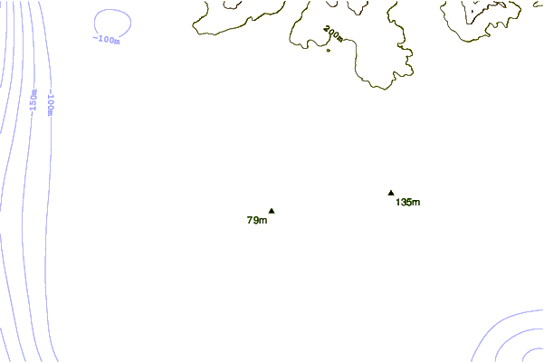
| Contours: | Roads & Rivers: | Select a
tide station / surf break / city |
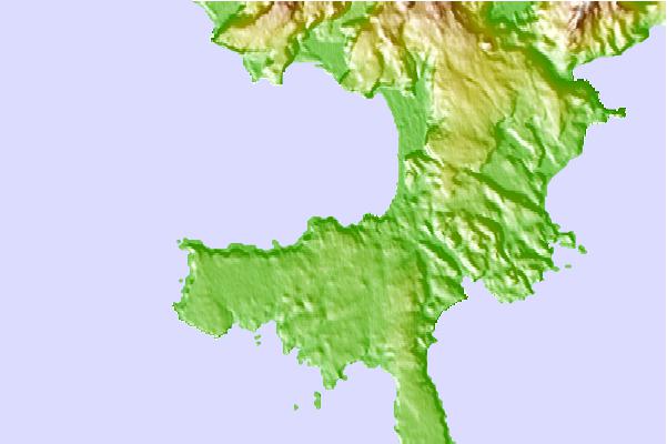
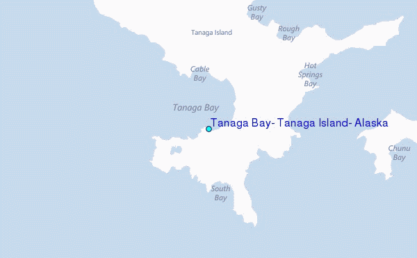
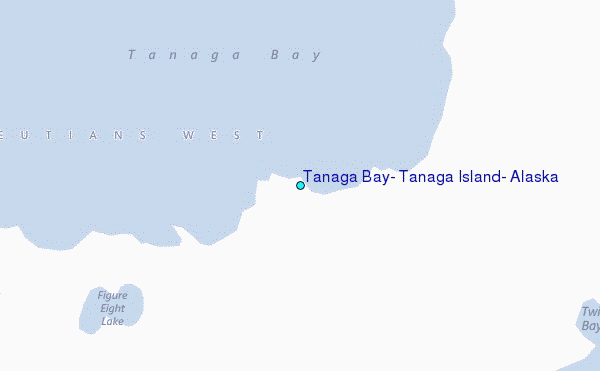
Use this relief map to navigate to tide stations, surf breaks and cities that are in the area of Tanaga Bay, Tanaga Island, Alaska.
Other Nearby Locations' tide tables and tide charts to Tanaga Bay, Tanaga Island, Alaska:
click location name for more details
 Surf breaks close to Tanaga Bay, Tanaga Island, Alaska:
|
||
|---|---|---|
| Closest surf break | Khalaktyrsky Beach | 976 mi |
| Second closest surf break | Fossil Beach Kodiak | 1093 mi |
| Third closest surf break | Monashka Bay | 1095 mi |
| Fourth closest surf break | Termination Point | 1097 mi |
| Fifth closest surf break | Mill Bay | 1098 mi |

 Nearest
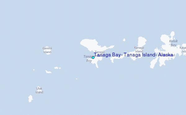