
| Distance / Altitude | Location | Report Date / Time | Live Weather | Wind | Gusts | Temp. | Visibility | Cloud |
|---|---|---|---|---|---|---|---|---|
| 7 km S / 2 m | TerschellingHoornAws (Netherlands) | 2026-06-11 12:00 local (2026/06/11 10:00 GMT) | no report | light winds from the E (7 km/h at 90) | 16°C | 18 | - no observation - | |
| 31 km WNW / 50 m | L9-FF-1 offshore platform Airport (Netherlands) | 2026-06-11 12:00 local (2026/06/11 10:00 GMT) | no report | light winds from the SE (7 km/h at 130) | 15°C | 30 | few - - | |
| 36 km SSW / 10 m | Vlieland Island Airport (Netherlands) | 2026-06-11 11:00 local (2026/06/11 09:00 GMT) | Dry and partly cloudy | moderate winds from the WSW (26 km/h at 250) | 17°C | 10.0 | few scattered - | |
| 38 km SE / 1 m | Leeuwarden Air Base Airport (Netherlands) | 2026-06-11 12:00 local (2026/06/11 10:00 GMT) | no report | light winds from the WSW (11 km/h at 250) | 16°C | 40 | - mostly cloudy - | |
| 41 km E / 50 m | Awg-1 (Netherlands) | 2026-06-11 12:00 local (2026/06/11 10:00 GMT) | no report | calm (4 km/h at 70) | 14°C | 30 | scattered few broken | |
| 51 km ESE / 2 m | Noordbergum (Netherlands) | 2026-06-11 10:30 local (2026/06/11 08:30 GMT) | dry | calm (5 km/h at 239) | 17°C | - | - - 0 | |
| 52 km SE / 4 m | Grou (Netherlands) | 2026-06-11 10:41 local (2026/06/11 08:41 GMT) | dry | light winds from the WSW (10 km/h at 248) | 17°C | - | - - 0 | |
| 54 km SSE / 12 m | Offingawier (Netherlands) | 2026-06-11 10:35 local (2026/06/11 08:35 GMT) | dry | moderate winds from the WSW (23 km/h at 240) | 18°C | - | - - 0 | |
| 63 km S / 3 m | Stavoren (Netherlands) | 2026-06-11 12:00 local (2026/06/11 10:00 GMT) | no report | light winds from the WSW (11 km/h at 250) | 17°C | 35 | - - - | |
| 64 km ENE / 0 m | Lauwersoog Automatic Weather Station (Netherlands) | 2026-06-11 12:00 local (2026/06/11 10:00 GMT) | no report | light winds from the SW (14 km/h at 230) | 16°C | - | - |
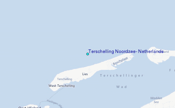
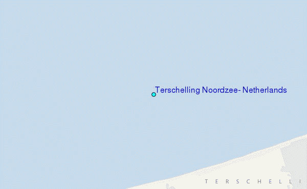
Choose Terschelling Noordzee, Netherlands Location Map Zoom:
| Contours: | Roads & Rivers: | Select a
tide station / surf break / city |
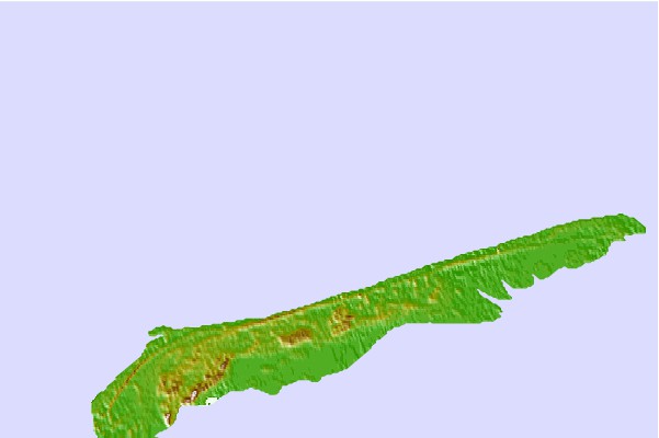
Use this relief map to navigate to tide stations, surf breaks and cities that are in the area of Terschelling Noordzee, Netherlands.
Other Nearby Locations' tide tables and tide charts to Terschelling Noordzee, Netherlands:
click location name for more details
 Surf breaks close to Terschelling Noordzee, Netherlands:
|
||
|---|---|---|
| Closest surf break | Kogerstrand (De Koog) | 34 mi |
| Second closest surf break | Texel (Waddeneilanden) | 40 mi |
| Third closest surf break | Hargen | 51 mi |
| Fourth closest surf break | Camperduin | 52 mi |
| Fifth closest surf break | Petten | 54 mi |


 Nearest
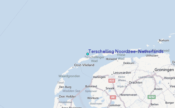