
| Distance / Altitude | Location | Report Date / Time | Live Weather | Wind | Gusts | Temp. | Visibility | Cloud |
|---|---|---|---|---|---|---|---|---|
| 192 km ESE / 64 m | Mao (Dominican Republic) | 2025-12-26 02:40 local (2025/12/26 07:40 GMT) | dry | calm (0 km/h at 153) | 15°C | - | - - 0 | |
| 194 km SW / 3 m | SHIP5873 (Marine) | 2025-12-26 02:00 local (2025/12/26 07:00 GMT) | - (- km/h at -) | 26°C | - | |||
| 194 km SW / 15 m | SHIP2593 (Marine) | 2025-12-26 02:00 local (2025/12/26 07:00 GMT) | - (- km/h at -) | — | - km | |||
| 194 km SW / 3 m | SHIP2343 (Marine) | 2025-12-26 02:00 local (2025/12/26 07:00 GMT) | - (- km/h at -) | 26°C | - | |||
| 196 km ENE / 3 m | SHIP571 (Marine) | 2025-12-26 00:00 local (2025/12/26 05:00 GMT) | - (- km/h at -) | 24°C | - | |||
| 196 km ENE / 3 m | SHIP4526 (Marine) | 2025-12-26 00:00 local (2025/12/26 05:00 GMT) | - (- km/h at -) | 24°C | - | |||
| 196 km ENE / 3 m | SHIP2738 (Marine) | 2025-12-26 00:00 local (2025/12/26 05:00 GMT) | - (- km/h at -) | 24°C | - | |||
| 196 km ENE / 3 m | SHIP7240 (Marine) | 2025-12-26 00:00 local (2025/12/26 05:00 GMT) | - (- km/h at -) | 24°C | - | |||
| 196 km ENE / 15 m | SHIP7918 (Marine) | 2025-12-26 00:00 local (2025/12/26 05:00 GMT) | - (- km/h at -) | — | - km | |||
| 196 km ENE / 15 m | SHIP4180 (Marine) | 2025-12-26 00:00 local (2025/12/26 05:00 GMT) | - (- km/h at -) | — | - km |
| Contours: | Roads & Rivers: | Select a
tide station / surf break / city |
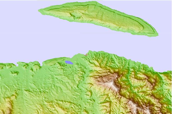
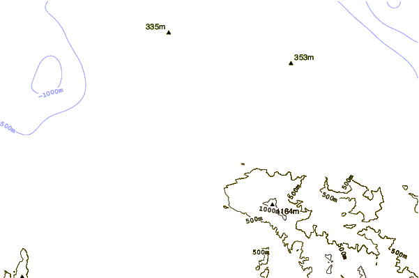
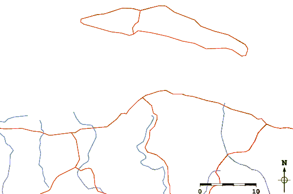
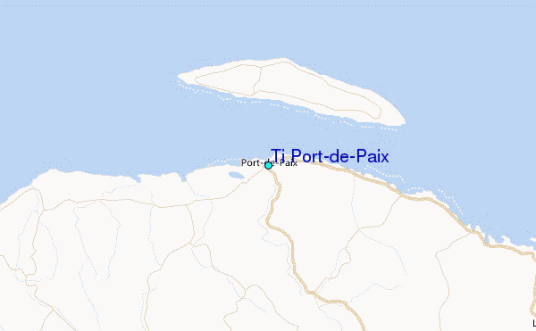
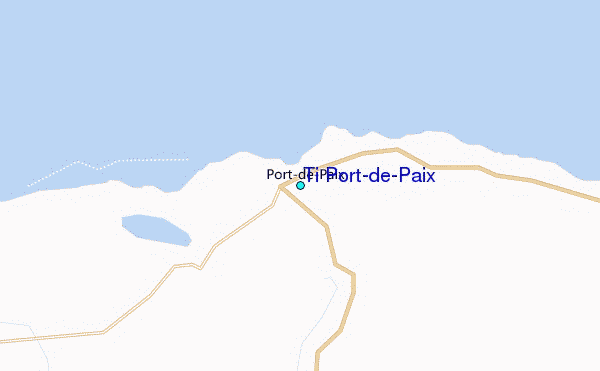
Use this relief map to navigate to tide stations, surf breaks and cities that are in the area of Ti Port-de-Paix.
Other Nearby Locations' tide tables and tide charts to Ti Port-de-Paix:
click location name for more details
 Surf breaks close to Ti Port-de-Paix:
|
||
|---|---|---|
| Closest surf break | Jacmel | 120 mi |
| Second closest surf break | Grace Bay Cut (Providenciales) | 135 mi |
| Third closest surf break | Tea Break | 135 mi |
| Fourth closest surf break | Coffee Break | 139 mi |
| Fifth closest surf break | La Puntilla (Puerto Plata) | 139 mi |


 Nearest
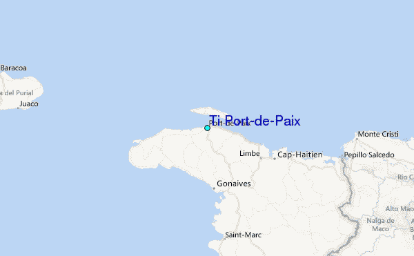