
| Distance / Altitude | Location | Report Date / Time | Live Weather | Wind | Gusts | Temp. | Visibility | Cloud |
|---|---|---|---|---|---|---|---|---|
| 14 km SW / 15 m | SHIP2443 (Marine) | 2024-04-26 12:00 local (2024/04/26 03:00 GMT) | light winds from the N (10.8 km/h at 10) | 11°C | - km | |||
| 14 km SW / 3 m | West of Deokjeokdo Island- South Korea (Marine) | 2024-04-26 13:00 local (2024/04/26 04:00 GMT) | light winds from the NNE (11 km/h at 30) | 11°C | - | |||
| 49 km ENE / 69 m | Incheon (South Korea) | 2024-04-26 13:00 local (2024/04/26 04:00 GMT) | Haze | light winds from the SW (7 km/h at 230) | 20°C | 28 km | - scattered - | |
| 61 km SSE / 30 m | Seosan (South Korea) | 2024-04-26 13:00 local (2024/04/26 04:00 GMT) | no report | light winds from the SW (7 km/h at 230) | 23°C | 34 km | - mostly cloudy - | |
| 64 km ENE / 217 m | Seoul/Kimpo International Airport (Korea) | 2024-04-26 12:00 local (2024/04/26 03:00 GMT) | Dry and partly cloudy | light winds from the NW (6 km/h at 310) | 22°C | 9.0 | no significant cloud |
| Contours: | Roads & Rivers: | Select a
tide station / surf break / city |
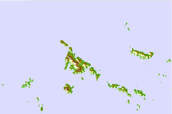
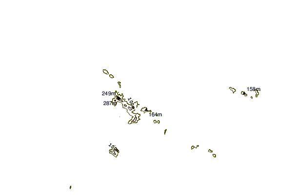
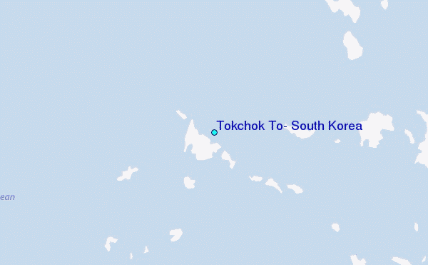
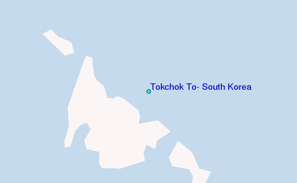
Use this relief map to navigate to tide stations, surf breaks and cities that are in the area of Tokchok To, South Korea.
Other Nearby Locations' tide tables and tide charts to Tokchok To, South Korea:
click location name for more details
 Surf breaks close to Tokchok To, South Korea:
|
||
|---|---|---|
| Closest surf break | 38 Line | 150 mi |
| Second closest surf break | Ingu Beach | 151 mi |
| Third closest surf break | Songdojin ni | 153 mi |
| Fourth closest surf break | Jumunjin | 154 mi |
| Fifth closest surf break | Gyongpo Beach | 156 mi |

 Nearest
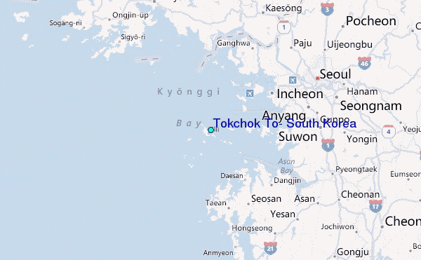