
| Distance / Altitude | Location | Report Date / Time | Live Weather | Wind | Gusts | Temp. | Visibility | Cloud |
|---|---|---|---|---|---|---|---|---|
| 76 km E / 15 m | SHIP6085 (Marine) | 2025-12-25 13:00 local (2025/12/25 06:00 GMT) | strong winds from the NNE (50.4 km/h at 20) | 27°C | 8.1 km | |||
| 76 km N / 219 m | Quy Nhon (Viet-nam) | 2025-12-25 13:00 local (2025/12/25 06:00 GMT) | Intermittent light rain | calm (4 km/h at 320) | 23°C | 35 km | - overcast - | |
| 93 km S / 218 m | Nha Trang (Viet-nam) | 2025-12-25 13:00 local (2025/12/25 06:00 GMT) | Clouds developing | light winds from the N (14 km/h at 360) | 27°C | 40 km | - mostly cloudy - | |
| 121 km S / 12 m | Cam Ranh Bay Airport (Viet nam) | 2025-12-25 13:30 local (2025/12/25 06:30 GMT) | Dry and partly cloudy | moderate winds from the N (22 km/h at 360) | 26°C | 10.0 | few broken | |
| 140 km SW / 537 m | Ban Me Thuot East Airfield (Viet-nam) | 2025-12-25 13:00 local (2025/12/25 06:00 GMT) | - | light winds from the E (18 km/h at 90) | 26°C | 40 km | mostly cloudy | |
| 120 km S / 12 m | Cam Ranh Bay Airport (Viet nam) | 2025-12-25 13:30 local (2025/12/25 06:30 GMT) | Dry and partly cloudy | moderate winds from the N (22 km/h at 360) | 26°C | 10.0 | few broken | |
| 140 km SW / 537 m | Ban Me Thuot East Airfield (Viet-nam) | 2025-12-25 13:00 local (2025/12/25 06:00 GMT) | - | light winds from the E (18 km/h at 90) | 26°C | 40 km | mostly cloudy | |
| 172 km WNW / 801 m | Pleiku City (Viet-nam) | 2025-12-25 13:00 local (2025/12/25 06:00 GMT) | - | light winds from the NNE (7 km/h at 20) | 27°C | 20 km | mostly cloudy | |
| 272 km S / 219 m | Phan Thiet (Viet-nam) | 2025-12-25 13:00 local (2025/12/25 06:00 GMT) | - | light winds from the ESE (18 km/h at 110) | 29°C | 42 km | - mostly cloudy - | |
| 289 km SW / 205 m | Ấp Phước Quả B wx (Vietnam) | 2025-12-25 14:41 local (2025/12/25 07:41 GMT) | dry | light winds from the NNE (16 km/h at 16) | 31°C | - | - - 0 |
| Contours: | Roads & Rivers: | Select a
tide station / surf break / city |
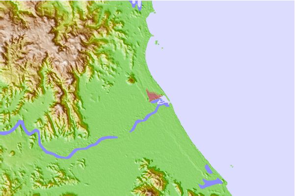
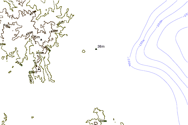
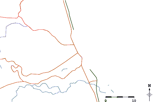
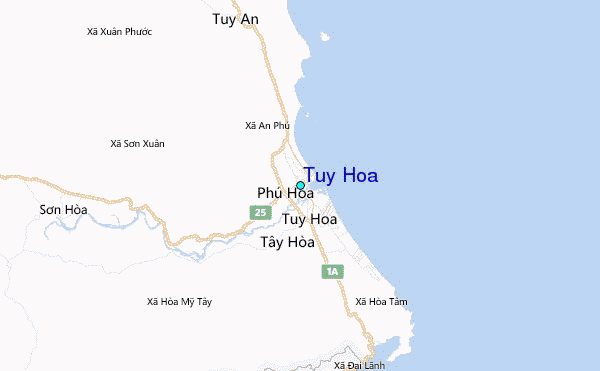
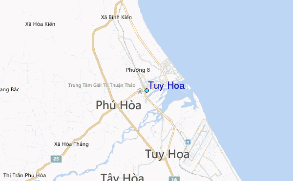
Use this relief map to navigate to tide stations, surf breaks and cities that are in the area of Tuy Hoa.
Other Nearby Locations' tide tables and tide charts to Tuy Hoa:
click location name for more details
 Surf breaks close to Tuy Hoa:
|
||
|---|---|---|
| Closest surf break | Hon Chong Beach Break | 57 mi |
| Second closest surf break | Dark Reef | 64 mi |
| Third closest surf break | Bai Dai Nha Trang | 67 mi |
| Fourth closest surf break | Mui Ne | 163 mi |
| Fifth closest surf break | Cue Dai Beach | 204 mi |


 Nearest
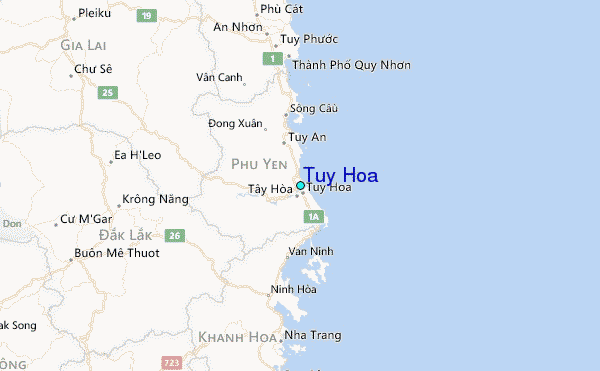