
| Distance / Altitude | Location | Report Date / Time | Live Weather | Wind | Gusts | Temp. | Visibility | Cloud |
|---|---|---|---|---|---|---|---|---|
| 107 km SW / 212 m | Chignik Bay Airport (Alaska) | 2024-04-26 12:34 local (2024/04/26 20:34 GMT) | - | light winds from the NE (7 km/h at 40) | 1°C | 0.0 | ||
| 109 km WSW / 209 m | Port Heiden Airport (Alaska) | 2024-04-26 12:43 local (2024/04/26 20:43 GMT) | Light rain | light winds from the SSE (6 km/h at 150) | 4°C | 16 | scattered scattered broken | |
| 156 km NW / 15 m | SHIP5476 (Marine) | 2024-04-26 11:00 local (2024/04/26 19:00 GMT) | fresh winds from the ENE (31.680000000000003 km/h at 70) | 0°C | - km | |||
| 158 km E / 3 m | BUOY-ALIA2 (Marine) | 2024-04-26 13:00 local (2024/04/26 21:00 GMT) | fresh winds from the E (32 km/h at 100) | 3°C | - | |||
| 163 km E / 14 m | Akhiok (Alaska) | 2024-04-26 11:56 local (2024/04/26 19:56 GMT) | Light rain | moderate winds from the ESE (24 km/h at 110) | 3°C | 13 | overcast |
| Contours: | Roads & Rivers: | Select a
tide station / surf break / city |
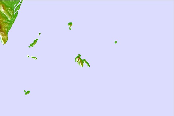
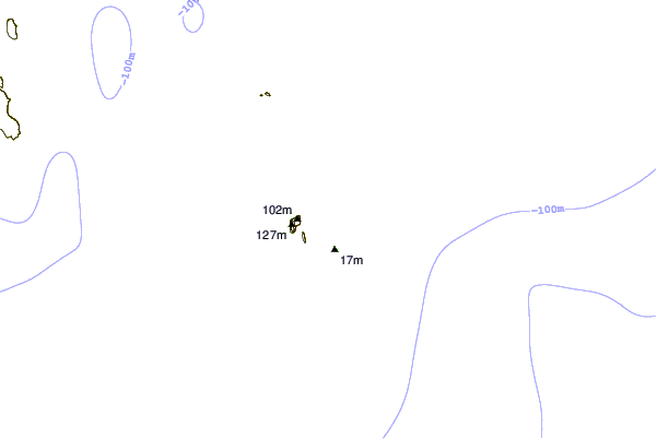
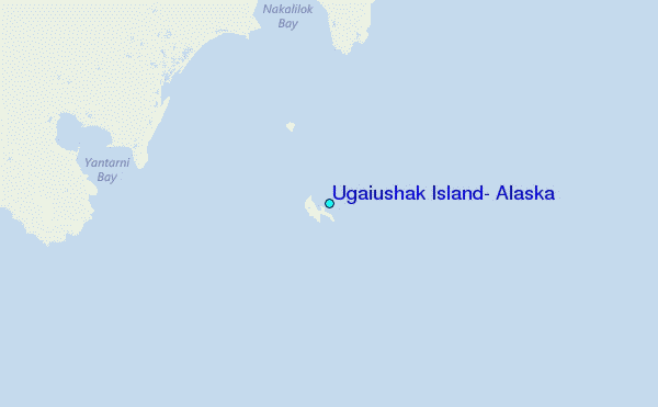
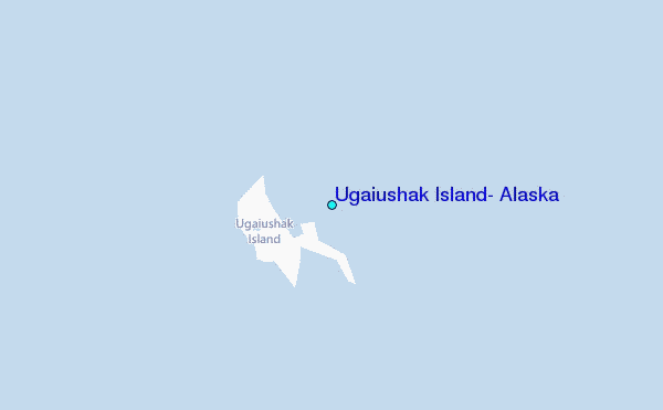
Use this relief map to navigate to tide stations, surf breaks and cities that are in the area of Ugaiushak Island, Alaska.
Other Nearby Locations' tide tables and tide charts to Ugaiushak Island, Alaska:
click location name for more details
 Surf breaks close to Ugaiushak Island, Alaska:
|
||
|---|---|---|
| Closest surf break | Fossil Beach Kodiak | 174 mi |
| Second closest surf break | Monashka Bay | 180 mi |
| Third closest surf break | Termination Point | 181 mi |
| Fourth closest surf break | Mill Bay | 182 mi |
| Fifth closest surf break | Bird Point (Tidal Bore) | 334 mi |

 Nearest
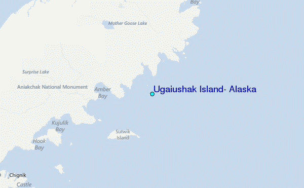