
| Distance / Altitude | Location | Report Date / Time | Live Weather | Wind | Gusts | Temp. | Visibility | Cloud |
|---|---|---|---|---|---|---|---|---|
| 3 km NE / 188 m | Hewanorra International Airport (Lesser Antilles) | 2026-06-10 02:00 local (2026/06/10 06:00 GMT) | Dry and partly cloudy | moderate winds from the E (26 km/h at 80) | 27°C | 10.0 | scattered | |
| 96 km N / 8 m | Lamentin -Aero (France) | 2026-06-10 02:00 local (2026/06/10 06:00 GMT) | no report | wind obs. (14 kph from 160 degs) was rejected (- km/h at -) | 27°C | 10 | - | |
| 96 km N / 214 m | Le Lamentin/Martinique Aimé Césaire International Airport (Lesser Antilles) | 2026-06-10 02:30 local (2026/06/10 06:30 GMT) | Dry and cloudy | light winds from the ENE (7 km/h at 60) | 27°C | 10.0 | scattered broken overcast | |
| 116 km N / 39 m | Trinite -Caravelle (France) | 2026-06-10 02:00 local (2026/06/10 06:00 GMT) | no report | fresh winds from the ESE (29 km/h at 120) | 30°C | - | - | |
| 177 km ESE / 175 m | Grantley Adams International Airport (Barbados) | 2026-06-10 02:00 local (2026/06/10 06:00 GMT) | no report | moderate winds from the ENE (25 km/h at 70) | 27°C | 40 | scattered - - | |
| 211 km S / 167 m | Point Salines Airport (Grenada) | 2026-06-10 03:00 local (2026/06/10 07:00 GMT) | Dry and partly cloudy | light winds from the ESE (17 km/h at 110) | 27°C | 10.0 | few scattered - | |
| 237 km S / 3 m | SHIP8632 (Marine) | 2026-06-10 02:00 local (2026/06/10 06:00 GMT) | moderate winds from the NE (28 km/h at 50) | 27°C | 20.4 | |||
| 237 km S / 15 m | SHIP5813 (Marine) | 2026-06-10 02:00 local (2026/06/10 06:00 GMT) | moderate winds from the NE (27.720000000000002 km/h at 50) | 28°C | 17.7 km | |||
| 237 km S / 15 m | SHIP9225 (Marine) | 2026-06-10 02:00 local (2026/06/10 06:00 GMT) | moderate winds from the NE (27.720000000000002 km/h at 50) | 28°C | 17.7 km | |||
| 237 km S / 3 m | SHIP2235 (Marine) | 2026-06-10 02:00 local (2026/06/10 06:00 GMT) | moderate winds from the NE (28 km/h at 50) | 27°C | 20.4 |
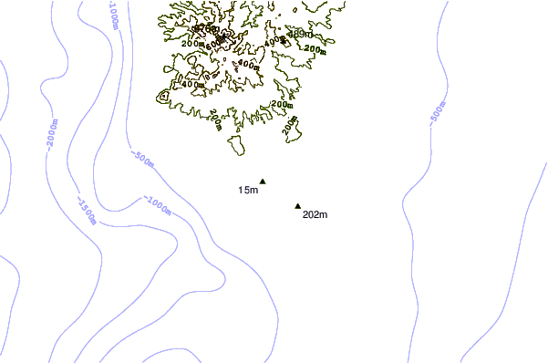
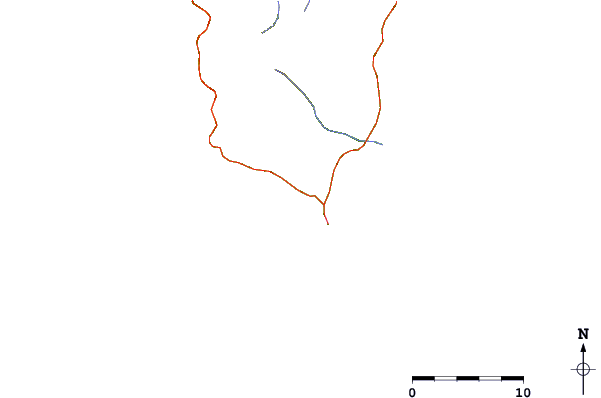
| Contours: | Roads & Rivers: | Select a
tide station / surf break / city |
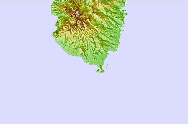
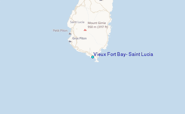
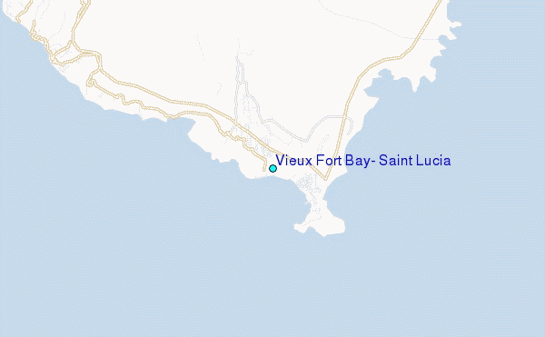
Use this relief map to navigate to tide stations, surf breaks and cities that are in the area of Vieux Fort Bay, Saint Lucia.
Other Nearby Locations' tide tables and tide charts to Vieux Fort Bay, Saint Lucia:
click location name for more details
 Surf breaks close to Vieux Fort Bay, Saint Lucia:
|
||
|---|---|---|
| Closest surf break | Commaret Point | 24 mi |
| Second closest surf break | Pigeon Point | 25 mi |
| Third closest surf break | Anse Trabaud | 47 mi |
| Fourth closest surf break | Anse Cafard | 50 mi |
| Fifth closest surf break | Diam's | 51 mi |


 Nearest
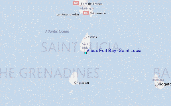