
| Distance / Altitude | Location | Report Date / Time | Live Weather | Wind | Gusts | Temp. | Visibility | Cloud |
|---|---|---|---|---|---|---|---|---|
| 14 km SW / 10 m | Vlieland Island Airport (Netherlands) | 2024-04-26 01:00 local (2024/04/25 23:00 GMT) | Dry and partly cloudy | light winds from the SW (19 km/h at 220) | 4°C | 10.0 | few scattered broken | |
| 19 km ENE / 2 m | TerschellingHoornAws (Netherlands) | 2024-04-26 02:00 local (2024/04/26 00:00 GMT) | Clear skies | light winds from the S (14 km/h at 190) | 6°C | 35 km | no observation | |
| 30 km WNW / 3 m | SHIP674 (Marine) | 2024-04-26 00:00 local (2024/04/25 22:00 GMT) | - (- km/h at -) | 5°C | - | |||
| 31 km ESE / 5 m | Harlingen (Netherlands) | 2024-04-26 02:30 local (2024/04/26 00:30 GMT) | dry | calm (0 km/h at 281) | 4°C | - | - - 0 | |
| 36 km NW / 50 m | L9-FF-1 offshore platform Airport (Netherlands) | 2024-04-26 01:25 local (2024/04/25 23:25 GMT) | - | moderate winds from the SW.(Wind varies from 190 to 250 degs) (26 km/h at 220) | 7°C | 10.0 | - no observation - |
| Contours: | Roads & Rivers: | Select a
tide station / surf break / city |
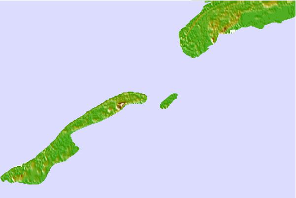

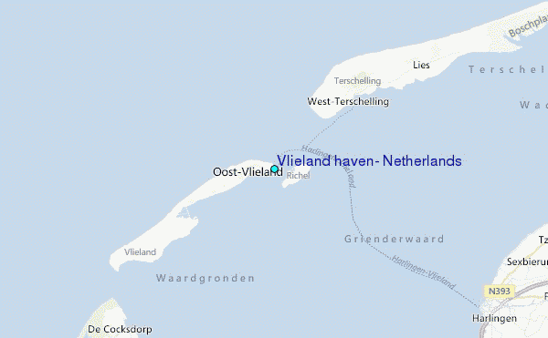
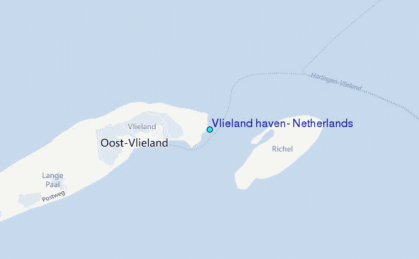
Use this relief map to navigate to tide stations, surf breaks and cities that are in the area of Vlieland haven, Netherlands.
Other Nearby Locations' tide tables and tide charts to Vlieland haven, Netherlands:
click location name for more details
 Surf breaks close to Vlieland haven, Netherlands:
|
||
|---|---|---|
| Closest surf break | Kogerstrand (De Koog) | 20 mi |
| Second closest surf break | Texel (Waddeneilanden) | 25 mi |
| Third closest surf break | Hargen | 37 mi |
| Fourth closest surf break | Camperduin | 39 mi |
| Fifth closest surf break | Petten | 40 mi |

 Nearest
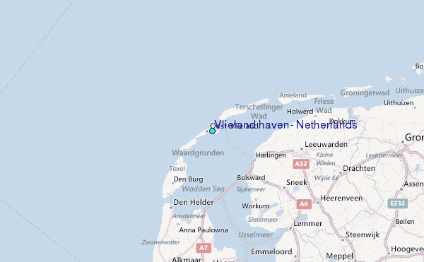