
| Distance / Altitude | Location | Report Date / Time | Live Weather | Wind | Gusts | Temp. | Visibility | Cloud |
|---|---|---|---|---|---|---|---|---|
| 33 km NW / 70 m | Auckland (New Zealand) | 2026-06-09 21:02 local (2026/06/09 09:02 GMT) | dry | light winds from the S (8 km/h at 187) | 10°C | - | - - 0 | |
| 44 km N / 7 m | Auckland Airport Automatic Weather Station (New Zealand) | 2026-06-09 22:00 local (2026/06/09 10:00 GMT) | Clear skies | light winds from the S (19 km/h at 170) | 10°C | 20 km | no observation | |
| 44 km N / 7 m | Auckland International Airport (New Zealand) | 2026-06-09 21:00 local (2026/06/09 09:00 GMT) | Dry and partly cloudy | light winds from the S (19 km/h at 170) | 10°C | 10.0 | no cloud no observation - | |
| 44 km N / 7 m | AucklandAeroAws (New Zealand) | 2026-06-09 22:00 local (2026/06/09 10:00 GMT) | Clear skies | light winds from the S (19 km/h at 170) | 10°C | 20 km | no observation | |
| 54 km ESE / 33 m | Hamilton (New Zealand) | 2026-06-09 21:01 local (2026/06/09 09:01 GMT) | dry | moderate winds from the SSW (21 km/h at 196) | 11°C | - | - - 0 | |
| 56 km N / 54 m | Auckland (New Zealand) | 2026-06-09 21:00 local (2026/06/09 09:00 GMT) | dry | calm (0 km/h at 144) | 12°C | - | - - 0 | |
| 57 km NNE / 6 m | Highland Park wx (New Zealand) | 2026-06-09 22:13 local (2026/06/09 10:13 GMT) | dry | light winds from the SSE (11 km/h at 167) | 11°C | - | - - 0 | |
| 60 km N / 46 m | Auckland (New Zealand) | 2026-06-09 21:03 local (2026/06/09 09:03 GMT) | dry | light winds from the S (6 km/h at 189) | 10°C | - | - - 0 | |
| 62 km NW / 56 m | Ranui wx (New Zealand) | 2026-06-09 22:05 local (2026/06/09 10:05 GMT) | dry | calm (0 km/h at 222) | 6°C | - | - - 0 | |
| 65 km N / 71 m | Kauri Point (New Zealand) | 2026-06-09 21:04 local (2026/06/09 09:04 GMT) | dry | calm (2 km/h at 13) | 11°C | - | - - 0 |
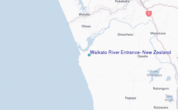
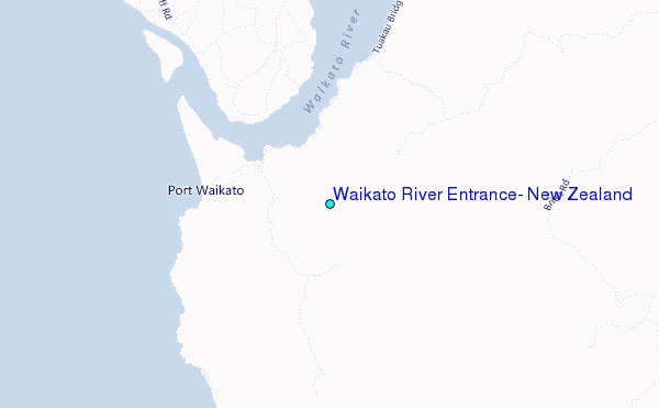
Choose Waikato River Entrance, New Zealand Location Map Zoom:
| Contours: | Roads & Rivers: | Select a
tide station / surf break / city |
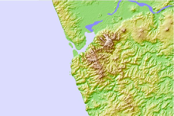
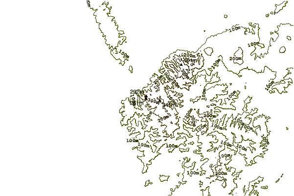
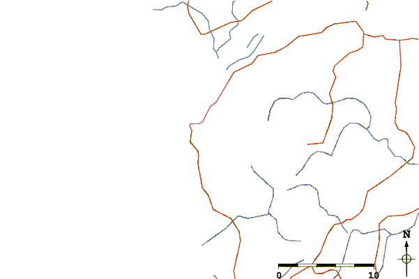
Use this relief map to navigate to tide stations, surf breaks and cities that are in the area of Waikato River Entrance, New Zealand.
Other Nearby Locations' tide tables and tide charts to Waikato River Entrance, New Zealand:
click location name for more details
 Surf breaks close to Waikato River Entrance, New Zealand:
|
||
|---|---|---|
| Closest surf break | Port Waikato-Sunset beach | 2 mi |
| Second closest surf break | Port Waikato-The Reef | 2 mi |
| Third closest surf break | Karioitahi | 9 mi |
| Fourth closest surf break | Whatipu | 27 mi |
| Fifth closest surf break | Raglan - Ngarunui Beach | 29 mi |


 Nearest
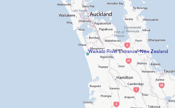