
| Distance / Altitude | Location | Report Date / Time | Live Weather | Wind | Gusts | Temp. | Visibility | Cloud |
|---|---|---|---|---|---|---|---|---|
| 24 km SSE / 13 m | Quinhagak (AK) (Alaska) | 2026-06-08 18:56 local (2026/06/09 02:56 GMT) | - | moderate winds from the SW (20 km/h at 220) | 13°C | 16 | few | |
| 53 km SW / 3 m | SHIP5781 (Marine) | 2026-06-08 18:00 local (2026/06/09 02:00 GMT) | - (- km/h at -) | — | - | |||
| 53 km SW / 3 m | SHIP4014 (Marine) | 2026-06-08 19:00 local (2026/06/09 03:00 GMT) | - (- km/h at -) | — | - | |||
| 53 km SW / 15 m | SHIP3227 (Marine) | 2026-06-08 18:00 local (2026/06/09 02:00 GMT) | - (- km/h at -) | — | - km | |||
| 53 km SW / 15 m | SHIP7184 (Marine) | 2026-06-08 19:00 local (2026/06/09 03:00 GMT) | - (- km/h at -) | — | - km | |||
| 53 km SW / 3 m | SHIP9701 (Marine) | 2026-06-08 18:00 local (2026/06/09 02:00 GMT) | - (- km/h at -) | — | - | |||
| 53 km SW / 15 m | SHIP8386 (Marine) | 2026-06-08 18:00 local (2026/06/09 02:00 GMT) | - (- km/h at -) | — | - km | |||
| 53 km SW / 3 m | SHIP3566 (Marine) | 2026-06-08 18:00 local (2026/06/09 02:00 GMT) | - (- km/h at -) | — | - | |||
| 53 km SW / 15 m | SHIP6712 (Marine) | 2026-06-08 20:00 local (2026/06/09 04:00 GMT) | - (- km/h at -) | — | - km | |||
| 53 km SW / 15 m | SHIP2520 (Marine) | 2026-06-08 19:00 local (2026/06/09 03:00 GMT) | - (- km/h at -) | — | - km |
| Contours: | Roads & Rivers: | Select a
tide station / surf break / city |
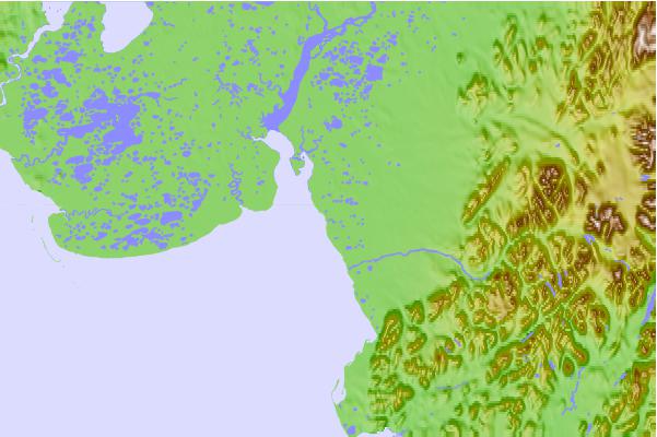
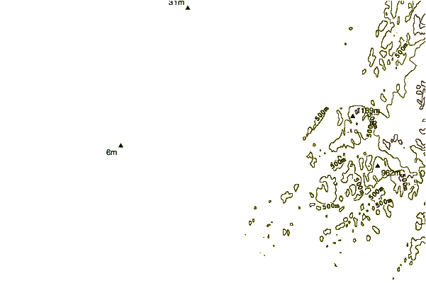
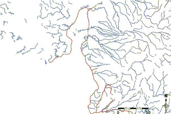
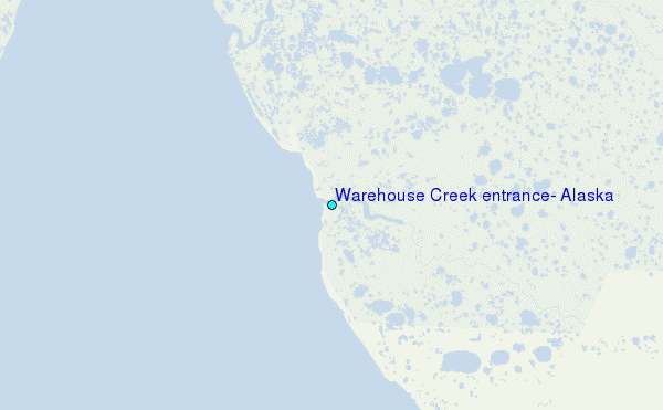
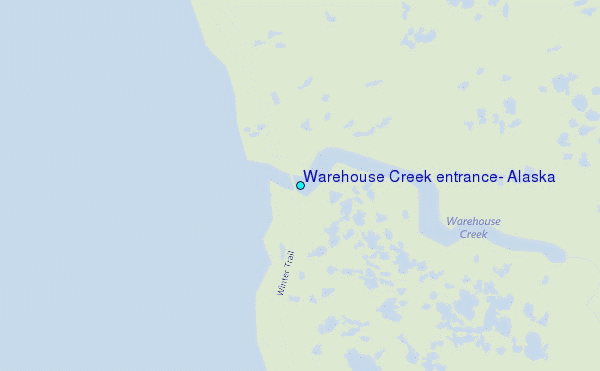
Use this relief map to navigate to tide stations, surf breaks and cities that are in the area of Warehouse Creek entrance, Alaska.
Other Nearby Locations' tide tables and tide charts to Warehouse Creek entrance, Alaska:
click location name for more details
 Surf breaks close to Warehouse Creek entrance, Alaska:
|
||
|---|---|---|
| Closest surf break | Bird Point (Tidal Bore) | 370 mi |
| Second closest surf break | Monashka Bay | 374 mi |
| Third closest surf break | Termination Point | 374 mi |
| Fourth closest surf break | Mill Bay | 377 mi |
| Fifth closest surf break | Fossil Beach Kodiak | 390 mi |


 Nearest
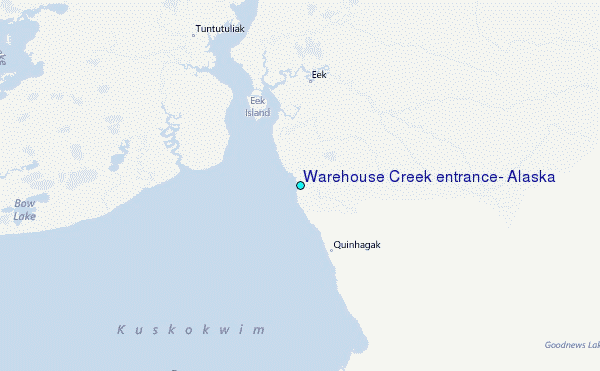