
| Distance / Altitude | Location | Report Date / Time | Live Weather | Wind | Gusts | Temp. | Visibility | Cloud |
|---|---|---|---|---|---|---|---|---|
| 1 km E / 38 m | Whangarei Aero Automatic Weather Station (New Zealand) | 2025-12-27 00:00 local (2025/12/26 11:00 GMT) | Clear skies | light winds from the W (11 km/h at 260) | 19°C | 20 km | no observation | |
| 1 km E / 38 m | Whangarei Aerodrome (New Zealand) | 2025-12-27 00:00 local (2025/12/26 11:00 GMT) | Clear skies | light winds from the W (11 km/h at 260) | 19°C | 20 km | - no observation - | |
| 52 km ESE / 3 m | SHIP8498 (Marine) | 2025-12-27 00:00 local (2025/12/26 11:00 GMT) | - (- km/h at -) | 23°C | - | |||
| 69 km WNW / 151 m | Kerikeri Aero Automatic Weather Station (New Zealand) | 2025-12-27 00:00 local (2025/12/26 11:00 GMT) | Clear skies | light winds from the SW (11 km/h at 220) | 18°C | 20 km | no observation | |
| 71 km ESE / 70 m | MokohinauIslandAws (New Zealand) | 2025-12-27 00:00 local (2025/12/26 11:00 GMT) | - | fresh winds from the W (33 km/h at 260) | 19°C | - | - no observation - | |
| 72 km NE / 15 m | SHIP3694 (Marine) | 2025-12-26 22:00 local (2025/12/26 09:00 GMT) | - (- km/h at -) | — | - km | |||
| 72 km NE / 15 m | SHIP5591 (Marine) | 2025-12-26 22:00 local (2025/12/26 09:00 GMT) | - (- km/h at -) | — | - km | |||
| 72 km NE / 15 m | SHIP7310 (Marine) | 2025-12-26 22:00 local (2025/12/26 09:00 GMT) | - (- km/h at -) | — | - km |
| Contours: | Roads & Rivers: | Select a
tide station / surf break / city |
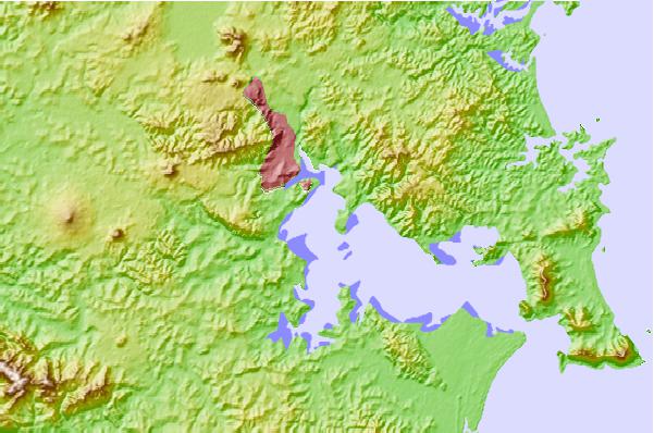
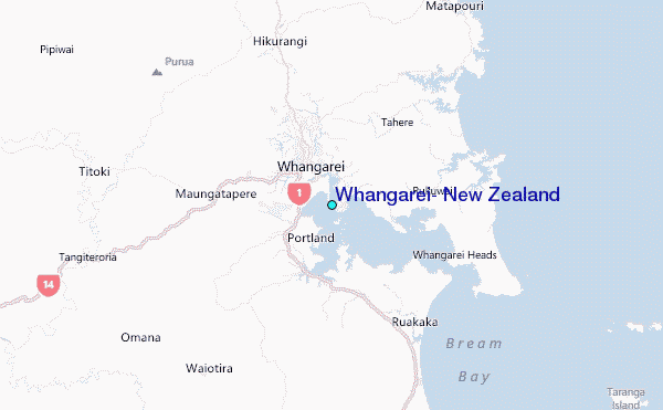
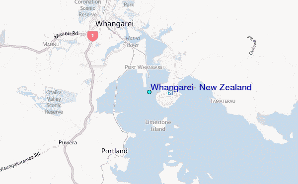
Use this relief map to navigate to tide stations, surf breaks and cities that are in the area of Whangarei, New Zealand.
Other Nearby Locations' tide tables and tide charts to Whangarei, New Zealand:
click location name for more details
 Surf breaks close to Whangarei, New Zealand:
|
||
|---|---|---|
| Closest surf break | Marsden Point | 10 mi |
| Second closest surf break | Pataua | 11 mi |
| Third closest surf break | Ruakaka | 12 mi |
| Fourth closest surf break | Ocean Beach (Whangarei) | 12 mi |
| Fifth closest surf break | Ngunguru Bar | 13 mi |


 Nearest
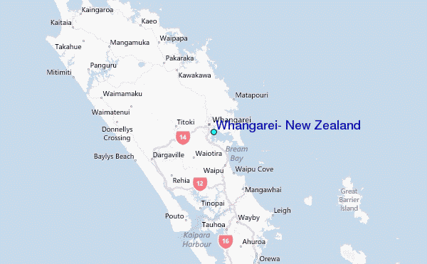