
| Distance / Altitude | Location | Report Date / Time | Live Weather | Wind | Gusts | Temp. | Visibility | Cloud |
|---|---|---|---|---|---|---|---|---|
| 6 km E / 187 m | Hato Air Curacao Airport (Virgin Islands) | 2024-04-26 18:00 local (2024/04/26 22:00 GMT) | - | light winds from the E (19 km/h at 100) | 29°C | 10.0 | few | |
| 6 km E / 0 m | HatoAirport-Curacao (78988 -1) (Curacao) | 2024-04-26 19:00 local (2024/04/26 23:00 GMT) | Haze | moderate winds from the E (20 km/h at 80) | 29°C | 38 km | no observation | |
| 80 km E / 175 m | Bonaire/Flamingo Airport (Lesser Antilles) | 2024-04-26 17:55 local (2024/04/26 21:55 GMT) | - | moderate winds from the E.(Wind varies from 050 to 110 degs) (28 km/h at 80) | — | 0.0 | ||
| 86 km E / 5 m | Dunkerbeck-Procenter (Bonaire, Saint Eustatius and Saba ) | 2024-04-26 19:00 local (2024/04/26 23:00 GMT) | - | strong winds from the SE (41 km/h at 132) | 28°C | - | - - 0 | |
| 112 km SSW / 384 m | Coro/Jose-Leonardo Chirinos Airport (Venezuela) | 2024-04-26 18:00 local (2024/04/26 22:00 GMT) | Dry and partly cloudy | wind obs. (0 kph from 0 degs) was rejected (- km/h at -) | 30°C | 10.0 | scattered scattered |
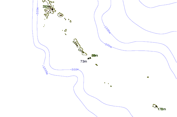
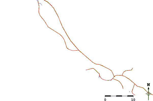
| Contours: | Roads & Rivers: | Select a
tide station / surf break / city |
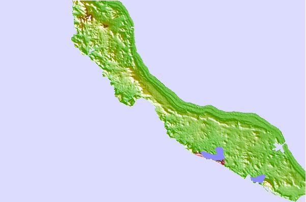
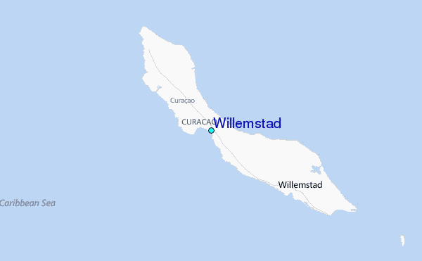
Use this relief map to navigate to tide stations, surf breaks and cities that are in the area of Willemstad.
Other Nearby Locations' tide tables and tide charts to Willemstad:
click location name for more details
 Surf breaks close to Willemstad:
|
||
|---|---|---|
| Closest surf break | Muraya | 60 mi |
| Second closest surf break | Outside Rodger's Beach | 61 mi |
| Third closest surf break | Dos Playa | 64 mi |
| Fourth closest surf break | Andicuri | 67 mi |
| Fifth closest surf break | Shark Bay | 68 mi |

 Nearest
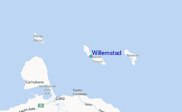