
| Distance / Altitude | Location | Report Date / Time | Live Weather | Wind | Gusts | Temp. | Visibility | Cloud |
|---|---|---|---|---|---|---|---|---|
| 669 km N / 218 m | Agana- Guam Airport (Guam) | 2026-06-09 12:54 local (2026/06/09 02:54 GMT) | Clear | light winds from the ESE (15 km/h at 120) | 31°C | 16 | ||
| 669 km N / 3 m | Ipan- Guam (Marine) | 2026-06-09 13:56 local (2026/06/09 03:56 GMT) | - (- km/h at -) | — | - | |||
| 671 km N / 73 m | Windward Hills wx (Guam) | 2026-06-09 13:23 local (2026/06/09 03:23 GMT) | dry | light winds from the E (6 km/h at 95) | 30°C | - | - - 0 | |
| 677 km N / 3 m | BUOY-APRP7 (Marine) | 2026-06-09 13:48 local (2026/06/09 03:48 GMT) | light winds from the E (15 km/h at 80) | — | - | |||
| 678 km N / 3 m | BUOY-PGBP7 (Marine) | 2026-06-09 13:48 local (2026/06/09 03:48 GMT) | light winds from the SSE (8 km/h at 150) | — | - | |||
| 682 km W / 205 m | Yap Island Airport (Micronesia) | 2026-06-09 12:57 local (2026/06/09 02:57 GMT) | Dry and partly cloudy | light winds from the N (11 km/h at 1) | 31°C | 19 | few scattered | |
| 686 km N / 36 m | Tamuning (Guam) | 2026-06-09 14:14 local (2026/06/09 04:14 GMT) | dry | light winds from the SE (6 km/h at 134) | 33°C | - | - - 0 | |
| 695 km N / 217 m | Mariana/Andersen Airport (Guam) | 2026-06-09 12:55 local (2026/06/09 02:55 GMT) | - | light winds from the E (13 km/h at 90) | 30°C | 16 | few few | |
| 705 km N / 3 m | Ritidian Point- Guam (Marine) | 2026-06-09 13:56 local (2026/06/09 03:56 GMT) | - (- km/h at -) | — | - | |||
| 768 km N / 472 m | Rota International Airport (Micronesia) | 2026-06-09 12:50 local (2026/06/09 02:50 GMT) | Dry and partly cloudy | light winds from the E (13 km/h at 90) | 27°C | 11 | broken |
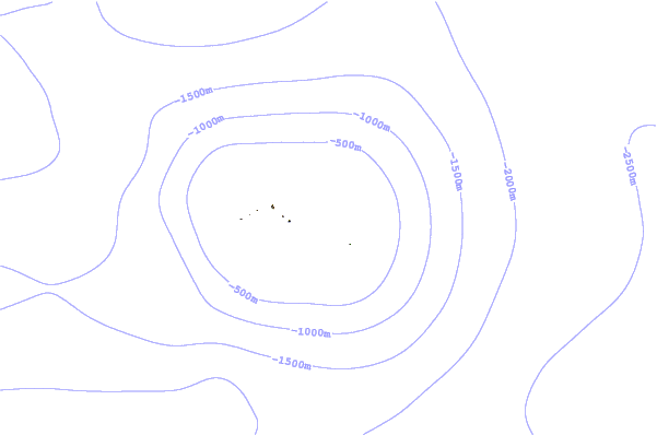
| Contours: | Roads & Rivers: | Select a
tide station / surf break / city |
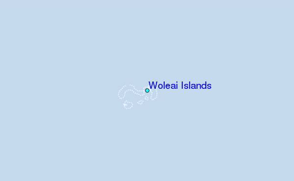
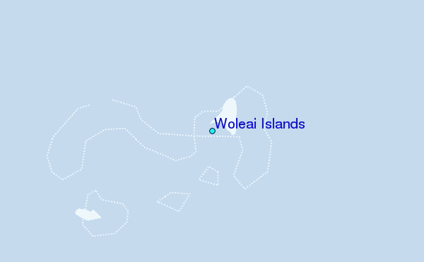
Use this relief map to navigate to tide stations, surf breaks and cities that are in the area of Woleai Islands.
Other Nearby Locations' tide tables and tide charts to Woleai Islands:
click location name for more details
 Surf breaks close to Woleai Islands:
|
||
|---|---|---|
| Closest surf break | Threes | 411 mi |
| Second closest surf break | Tubeys/Point Death | 411 mi |
| Third closest surf break | Umatac | 413 mi |
| Fourth closest surf break | Point Perfection | 416 mi |
| Fifth closest surf break | Talofofo/The Bay | 416 mi |


 Nearest