
| Distance / Altitude | Location | Report Date / Time | Live Weather | Wind | Gusts | Temp. | Visibility | Cloud |
|---|---|---|---|---|---|---|---|---|
| 42 km WNW / 217 m | Adana/Incirlik Airport (Turkey) | 2024-04-26 07:20 local (2024/04/26 04:20 GMT) | - | light winds from the NE (9 km/h at 40) | — | 0.0 | ||
| 50 km W / 20 m | Adana Sakirpasa (Turkey) | 2024-04-26 07:20 local (2024/04/26 04:20 GMT) | - | light winds from the N.(Wind varies from 350 to 090 degs) (6 km/h at 10) | — | 0.0 | - scattered - | |
| 63 km SE / 82 m | Hatay Airport (Turkey) | 2024-04-26 06:50 local (2024/04/26 03:50 GMT) | - | light winds from the NE (9 km/h at 50) | — | 0.0 | ||
| 106 km WSW / 3 m | Mersin (Turkey) | 2024-04-26 08:00 local (2024/04/26 05:00 GMT) | - | calm (0 km/h at 0) | 27°C | 40 km | mostly cloudy | |
| 134 km NE / 526 m | Kahramanmaraş Airport (Turkey) | 2024-04-26 06:50 local (2024/04/26 03:50 GMT) | - | light winds from the E (6 km/h at 90) | — | 0.0 |
| Contours: | Roads & Rivers: | Select a
tide station / surf break / city |
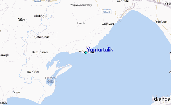
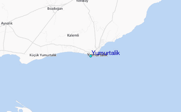
Use this relief map to navigate to tide stations, surf breaks and cities that are in the area of Yumurtalik.
Other Nearby Locations' tide tables and tide charts to Yumurtalik:
click location name for more details
 Surf breaks close to Yumurtalik:
|
||
|---|---|---|
| Closest surf break | Stone-Tombs | 92 mi |
| Second closest surf break | Sandy Beach - Chekka | 170 mi |
| Third closest surf break | Queen Victoria Beach | 170 mi |
| Fourth closest surf break | Batroun or Colonel | 175 mi |
| Fifth closest surf break | Tam Tam | 183 mi |

 Nearest
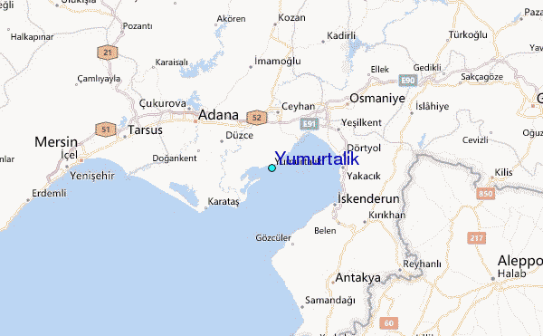