
| Distance / Altitude | Location | Report Date / Time | Live Weather | Wind | Gusts | Temp. | Visibility | Cloud |
|---|---|---|---|---|---|---|---|---|
| 7 km SW / 203 m | Guantanamo Bay Airport (Cuba) | 2024-06-16 11:51 local (2024/06/16 15:51 GMT) | Dry and partly cloudy | moderate winds from the E (24 km/h at 100) | 33°C | 16 | few broken | |
| 72 km WSW / 209 m | Santiago De Cuba Airport (Cuba) | 2024-06-16 11:50 local (2024/06/16 15:50 GMT) | Dry and partly cloudy | light winds from the SSE.(Wind varies from 130 to 190 degs) (9 km/h at 160) | 31°C | 9.0 | few broken | |
| 155 km WNW / 208 m | Holguin Airport (Cuba) | 2024-06-16 11:50 local (2024/06/16 15:50 GMT) | Dry and partly cloudy | moderate winds from the E (20 km/h at 90) | 31°C | 9.0 | scattered broken | |
| 174 km NW / - m | SHIP10666 (ocean) | 2024-06-16 12:00 local (2024/06/16 16:00 GMT) | No report | fresh winds from the ESE (33 km/h at 110) | 29°C | - | no observation | |
| 174 km NW / 3 m | SHIP2206 (Marine) | 2024-06-16 12:00 local (2024/06/16 16:00 GMT) | fresh winds from the ESE (33 km/h at 110) | 29°C | - |
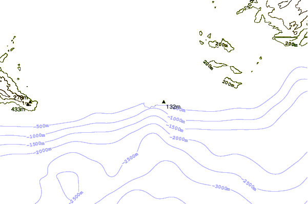
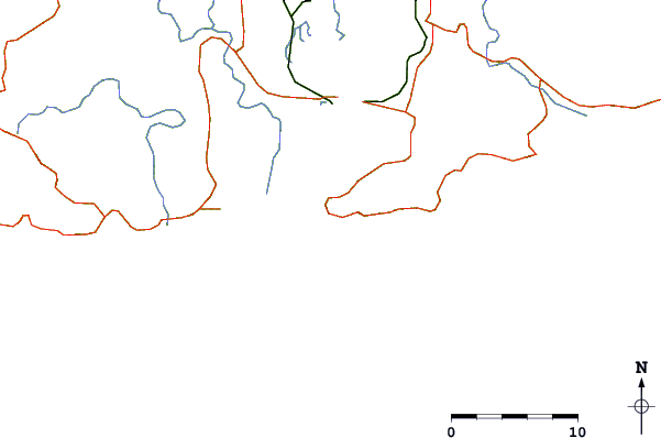
| Contours: | Roads & Rivers: | Select a
tide station / surf break / city |
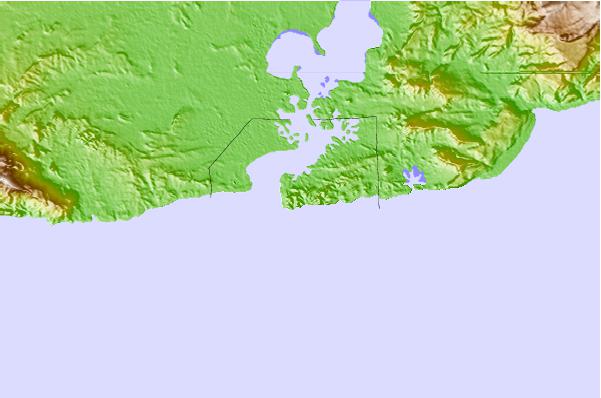
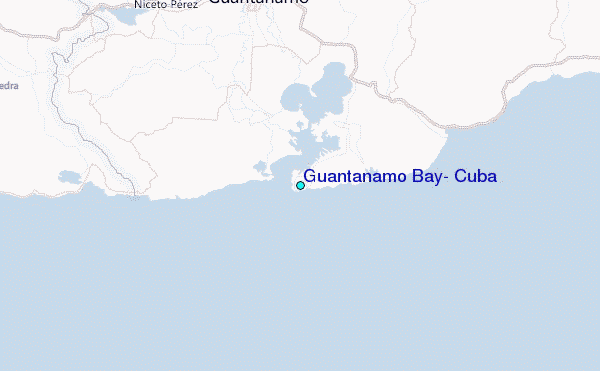
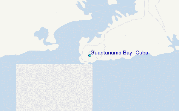
Use this relief map to navigate to tide stations, surf breaks and cities that are in the area of Guantanamo Bay, Cuba.
Other Nearby Locations' tide tables and tide charts to Guantanamo Bay, Cuba:
click location name for more details
 Surf breaks close to Guantanamo Bay, Cuba:
|
||
|---|---|---|
| Closest surf break | Winnifred Beach | 144 mi |
| Second closest surf break | Boston Bay | 144 mi |
| Third closest surf break | Long Bay | 146 mi |
| Fourth closest surf break | Navy Island | 146 mi |
| Fifth closest surf break | Peenie Wally | 151 mi |

 Nearest
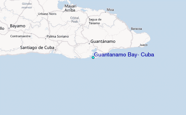