
| Distance / Altitude | Location | Report Date / Time | Live Weather | Wind | Gusts | Temp. | Visibility | Cloud |
|---|---|---|---|---|---|---|---|---|
| 14 km NE / 218 m | Brunswick Airport (Georgia) | 2025-12-25 18:35 local (2025/12/25 23:35 GMT) | Clear | calm (0 km/h at 0) | 19°C | 16 | ||
| 21 km N / 217 m | Brunswick Golden Isles Airport (Georgia) | 2025-12-25 18:35 local (2025/12/25 23:35 GMT) | Clear | light winds from the SW (6 km/h at 220) | 17°C | 16 | ||
| 32 km S / 3 m | BUOY-KBMG1 (Marine) | 2025-12-25 18:36 local (2025/12/25 23:36 GMT) | - (- km/h at -) | — | - | |||
| 43 km S / 3 m | BUOY-FRDF1 (Marine) | 2025-12-25 18:42 local (2025/12/25 23:42 GMT) | calm (4 km/h at 210) | — | - | |||
| 44 km NNE / 3 m | BUOY-SAXG1 (Marine) | 2025-12-25 18:00 local (2025/12/25 23:00 GMT) | calm (5 km/h at 200) | 19°C | - | |||
| 45 km S / 5 m | Fernandina Beach wx (United States) | 2025-12-25 18:42 local (2025/12/25 23:42 GMT) | dry | calm (0 km/h at 273) | 18°C | - | - - 0 | |
| 51 km S / 9 m | Fernandina Beach (Florida) | 2025-12-25 17:24 local (2025/12/25 22:24 GMT) | dry | calm (0 km/h at 84) | 18°C | - | - - 0 | |
| 64 km S / 10 m | Dunn Creek wx (United States) | 2025-12-25 19:19 local (2025/12/26 00:19 GMT) | dry | calm (0 km/h at 234) | 17°C | - | - - 0 | |
| 65 km S / 218 m | Jacksonville Airport (Florida) | 2025-12-25 17:56 local (2025/12/25 22:56 GMT) | - | light winds from the WSW (6 km/h at 240) | 19°C | 16 | few | |
| 65 km WNW / 33 m | Jesup/Wayne County Airport (Georgia) | 2025-12-25 18:35 local (2025/12/25 23:35 GMT) | Clear | calm (0 km/h at 0) | 18°C | 16 |
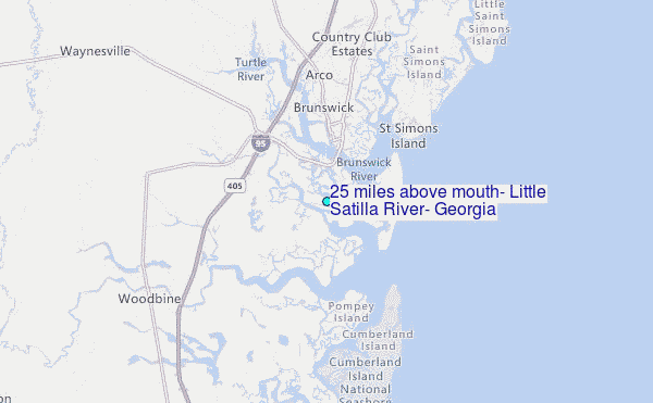
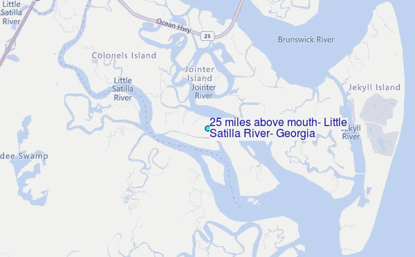
Choose 2.5 miles above mouth, Little Satilla River, Georgia Location Map Zoom:
Other Nearby Locations' tide tables and tide charts to 2.5 miles above mouth, Little Satilla River, Georgia:
click location name for more details
 Surf breaks close to 2.5 miles above mouth, Little Satilla River, Georgia:
|
||
|---|---|---|
| Closest surf break | Comfort Inn/Jeckyll Island | 6 mi |
| Second closest surf break | 5th and 7th Streets | 6 mi |
| Third closest surf break | Coastguard/St Simons | 9 mi |
| Fourth closest surf break | St Simons Island | 9 mi |
| Fifth closest surf break | Goulds Inlet | 11 mi |


 Nearest
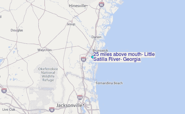