
| Distance / Altitude | Location | Report Date / Time | Live Weather | Wind | Gusts | Temp. | Visibility | Cloud |
|---|---|---|---|---|---|---|---|---|
| 16 km SSW / 7 m | West Palm Beach (FL) (Florida) | 2025-12-25 04:30 local (2025/12/25 09:30 GMT) | Dry and cloudy | calm (0 km/h at 0) | 15°C | 16 | broken overcast | |
| 25 km NW / 240 m | Stuart/Witham Field Airport (Florida) | 2025-12-25 04:35 local (2025/12/25 09:35 GMT) | Clear | light winds from the NW (9 km/h at 310) | 18°C | 16 | ||
| 32 km S / 218 m | West Palm Beach Airport (Florida) | 2025-12-25 03:53 local (2025/12/25 08:53 GMT) | Clear | light winds from the NNW (11 km/h at 340) | 19°C | 16 | ||
| 34 km NE / 3 m | SHIP2423 (Marine) | 2025-12-25 05:00 local (2025/12/25 10:00 GMT) | - (- km/h at -) | 22°C | - | |||
| 41 km SSE / 3 m | BUOY-LKWF1 (Marine) | 2025-12-25 05:00 local (2025/12/25 10:00 GMT) | light winds from the NNW (15 km/h at 330) | — | - | |||
| 41 km SSE / 3 m | BUOY-LKWF1 (Marine) | 2025-12-25 05:00 local (2025/12/25 10:00 GMT) | light winds from the NNW (15 km/h at 330) | — | - | |||
| 41 km S / 5 m | West Palm Beach (FL) (Florida) | 2025-12-25 04:35 local (2025/12/25 09:35 GMT) | Clear | light winds from the NNW (6 km/h at 330) | 19°C | 16 | ||
| 53 km NNE / 15 m | SHIP4175 (Marine) | 2025-12-25 04:00 local (2025/12/25 09:00 GMT) | - (- km/h at -) | — | - km | |||
| 53 km NNE / 15 m | SHIP6092 (Marine) | 2025-12-25 04:00 local (2025/12/25 09:00 GMT) | - (- km/h at -) | — | - km | |||
| 53 km NNE / 3 m | SHIP7134 (Marine) | 2025-12-25 04:00 local (2025/12/25 09:00 GMT) | - (- km/h at -) | 21°C | - |
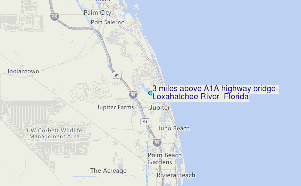
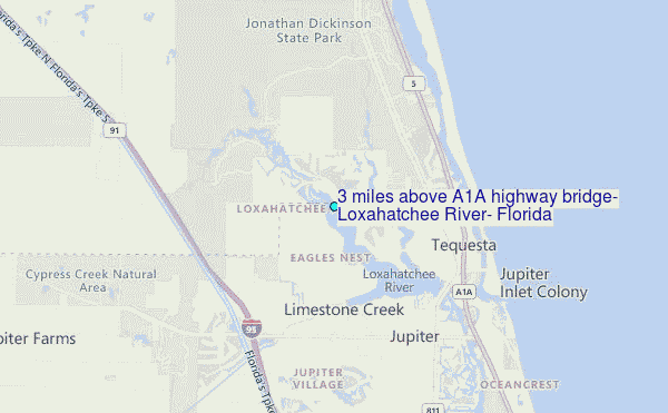
Choose 3 miles above A1A highway bridge, Loxahatchee River, Florida Location Map Zoom:
Other Nearby Locations' tide tables and tide charts to 3 miles above A1A highway bridge, Loxahatchee River, Florida:
click location name for more details
 Surf breaks close to 3 miles above A1A highway bridge, Loxahatchee River, Florida:
|
||
|---|---|---|
| Closest surf break | Coral Cove | 3 mi |
| Second closest surf break | Jupiter Inlet North Jetty | 4 mi |
| Third closest surf break | Jupiter Inlet North South Side | 4 mi |
| Fourth closest surf break | Jupiter Inlet South Jetty | 4 mi |
| Fifth closest surf break | Juno Pier | 7 mi |


 Nearest
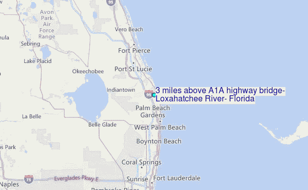