
| Distance / Altitude | Location | Report Date / Time | Live Weather | Wind | Gusts | Temp. | Visibility | Cloud |
|---|---|---|---|---|---|---|---|---|
| 11 km WNW / 3 m | BUOY-DELD1 (Marine) | 2026-08-03 13:00 local (2026/08/03 17:00 GMT) | light winds from the NW (18 km/h at 320) | 26°C | - | |||
| 20 km NW / 216 m | Wilmington Airport (Delaware) | 2026-08-03 12:43 local (2026/08/03 16:43 GMT) | Haze - | strong winds from the W (39 km/h at 270) | 27°C | 2 | few broken overcast | |
| 24 km SSE / 3 m | BUOY-SJSN4 (Marine) | 2026-08-03 13:00 local (2026/08/03 17:00 GMT) | moderate winds from the SW (24 km/h at 230) | 27°C | - | |||
| 27 km WSW / 3 m | BUOY-CHCM2 (Marine) | 2026-08-03 13:00 local (2026/08/03 17:00 GMT) | light winds from the SSW (13 km/h at 210) | 28°C | - | |||
| 27 km WNW / 24 m | Newark (Delaware) | 2026-08-03 11:09 local (2026/08/03 15:09 GMT) | dry | calm (2 km/h at 155) | 29°C | - | - - 0 | |
| 29 km N / 31 m | Bellevue Hills (Delaware) | 2026-08-03 13:40 local (2026/08/03 17:40 GMT) | dry | calm (0 km/h at 213) | 25°C | - | - - 0 | |
| 29 km NNE / 6 m | Logan Township (New Jersey) | 2026-08-03 13:07 local (2026/08/03 17:07 GMT) | light rain | calm (0 km/h at 225) | 26°C | - | - - 0 | |
| 31 km NW / 88 m | Greenville (Delaware) | 2026-08-03 13:39 local (2026/08/03 17:39 GMT) | dry | calm (0 km/h at 117) | 26°C | - | - - 0 | |
| 33 km NW / 300 m | Greenville (Delaware) | 2026-08-03 13:24 local (2026/08/03 17:24 GMT) | dry | calm (0 km/h at 88) | 27°C | - | - - 0 | |
| 34 km S / 17 m | Delaware Airpark Dover-Cheswold (Delaware) (Delaware) | 2026-08-03 12:30 local (2026/08/03 16:30 GMT) | Dry and partly cloudy | light winds from the SW (17 km/h at 230) | 27°C | 16 | scattered |
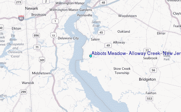
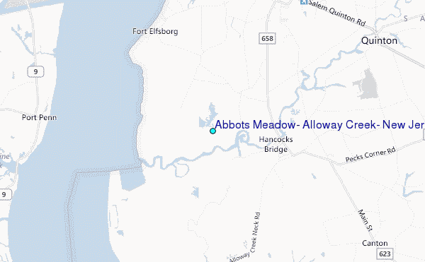
Choose Abbots Meadow, Alloway Creek, New Jersey Location Map Zoom:
| Contours: | Roads & Rivers: | Select a
tide station / surf break / city |
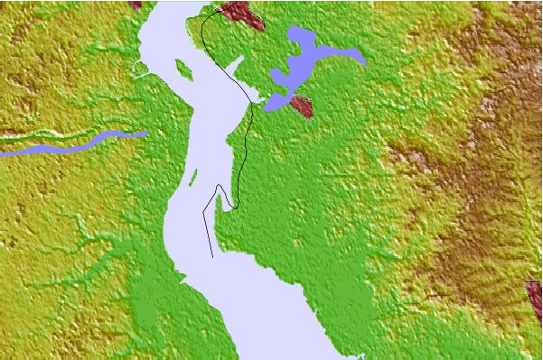
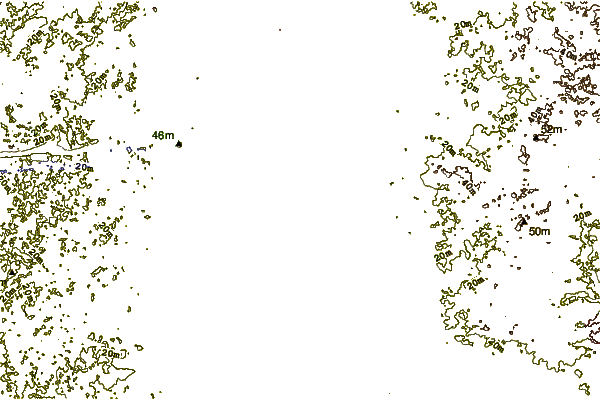
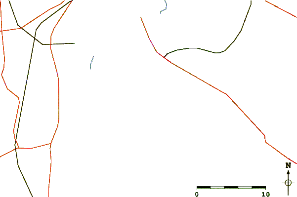
Use this relief map to navigate to tide stations, surf breaks and cities that are in the area of Abbots Meadow, Alloway Creek, New Jersey.
Other Nearby Locations' tide tables and tide charts to Abbots Meadow, Alloway Creek, New Jersey:
click location name for more details
 Surf breaks close to Abbots Meadow, Alloway Creek, New Jersey:
|
||
|---|---|---|
| Closest surf break | Chodes | 50 mi |
| Second closest surf break | 57th Street | 50 mi |
| Third closest surf break | 52nd Street | 50 mi |
| Fourth closest surf break | 47th Street | 50 mi |
| Fifth closest surf break | St Phillip's | 50 mi |


 Nearest
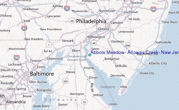