
| Distance / Altitude | Location | Report Date / Time | Live Weather | Wind | Gusts | Temp. | Visibility | Cloud |
|---|---|---|---|---|---|---|---|---|
| 7 km E / 8 m | Abidjan (Ivory Coast) | 2026-05-24 18:00 local (2026/05/24 18:00 GMT) | - | light winds from the WSW (11 km/h at 240) | 28°C | 30 km | scattered | |
| 9 km E / 218 m | Abidjan Port Bou Airport (Cote D'ivoire) | 2026-05-24 17:30 local (2026/05/24 17:30 GMT) | - | light winds from the SW (15 km/h at 230) | 29°C | 10.0 | few few | |
| 235 km WNW / 1 m | Yamoussoukro Airport (Cote D'ivoire) | 2026-05-24 17:00 local (2026/05/24 17:00 GMT) | Dry and partly cloudy | wind obs. (11 kph from 300 degs) was rejected (- km/h at -) | 28°C | 10.0 | scattered few | |
| 251 km E / 9 m | Takoradi (afb) (Ghana) | 2026-05-24 17:00 local (2026/05/24 17:00 GMT) | - | light winds from the SW (11 km/h at 230) | 30°C | 10.0 | few | |
| 297 km NW / 376 m | Bouaké Airport (Cote d'ivoire) | 2026-05-24 17:00 local (2026/05/24 17:00 GMT) | Dry and partly cloudy | light winds from the SW (15 km/h at 220) | 28°C | 10.0 | scattered few | |
| 311 km ENE / 293 m | Kumasi (Ghana) | 2026-05-24 17:00 local (2026/05/24 17:00 GMT) | Dry and partly cloudy | light winds from the SW (15 km/h at 230) | 31°C | 10.0 | scattered | |
| 347 km NE / 329 m | Techiman NOG-Farm (Ghana) | 2026-05-24 18:00 local (2026/05/24 18:00 GMT) | - | calm (0 km/h at 175) | 28°C | - | - - 0 | |
| 393 km E / 74 m | Adeiso-Ndoda (Ghana) | 2026-05-24 18:00 local (2026/05/24 18:00 GMT) | - | calm (4 km/h at 212) | 28°C | - | - - 0 | |
| 426 km E / 197 m | Accra/Kotoka International Airport (Ghana) | 2026-05-24 17:00 local (2026/05/24 17:00 GMT) | - | moderate winds from the WSW (20 km/h at 240) | 30°C | 10.0 | few | |
| 451 km ENE / 90 m | Somanya USED (Ghana) | 2026-05-24 18:00 local (2026/05/24 18:00 GMT) | - | calm (4 km/h at 123) | 29°C | - | - - 0 |
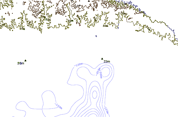
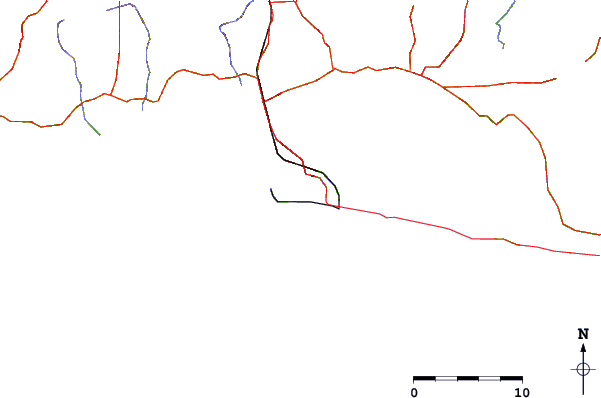
| Contours: | Roads & Rivers: | Select a
tide station / surf break / city |
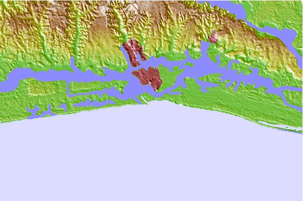
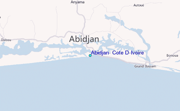
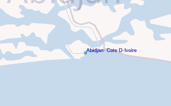
Use this relief map to navigate to tide stations, surf breaks and cities that are in the area of Abidjan, Cote D'Ivoire.
Other Nearby Locations' tide tables and tide charts to Abidjan, Cote D'Ivoire:
click location name for more details
 Surf breaks close to Abidjan, Cote D'Ivoire:
|
||
|---|---|---|
| Closest surf break | La Passe | 6 mi |
| Second closest surf break | Bassam Beach | 13 mi |
| Third closest surf break | Grand-Lahou | 28 mi |
| Fourth closest surf break | Assinie | 76 mi |
| Fifth closest surf break | Beyin Beach | 98 mi |


 Nearest
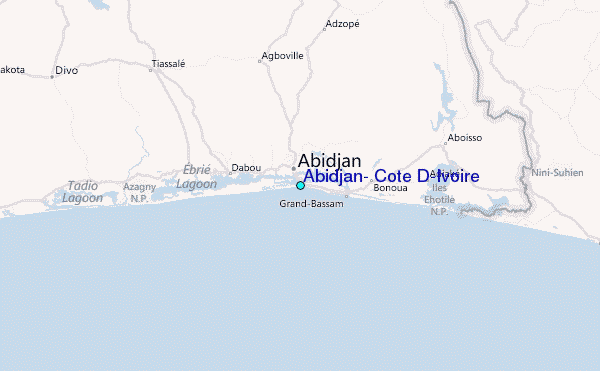