
| Distance / Altitude | Location | Report Date / Time | Live Weather | Wind | Gusts | Temp. | Visibility | Cloud |
|---|---|---|---|---|---|---|---|---|
| 44 km S / 4 m | Wyndham Aerodrome (Australia) | 2026-03-07 18:00 local (2026/03/07 10:00 GMT) | Rain | light winds from the NW (13 km/h at 310) | 29°C | - | no observation | |
| 44 km S / 4 m | Wyndham Aerodrome (Australia) | 2026-03-07 18:00 local (2026/03/07 10:00 GMT) | no report | wind obs. (15 kph from 340 degs) was rejected (- km/h at -) | 25°C | - | - no observation - | |
| 90 km SE / 216 m | Kununurra Airport (Australia) | 2026-03-07 17:30 local (2026/03/07 09:30 GMT) | Dry and partly cloudy | calm (4 km/h at 320) | 28°C | 10.0 | few scattered broken | |
| 93 km SE / 44 m | KununurraAero (Australia) | 2026-03-07 18:00 local (2026/03/07 10:00 GMT) | Clear skies | wind obs. (7 kph from 310 degs) was rejected (- km/h at -) | 28°C | - | - mostly cloudy - | |
| 135 km E / 4 m | lightning 109km NNE of Kununurra (Australia) | 2026-03-07 18:15 local (2026/03/07 10:15 GMT) | Thunderstorm | (- km/h at -) | — | |||
| 171 km S / 165 m | Argyle Aerodrome Airport (Australia) | 2026-03-07 18:00 local (2026/03/07 10:00 GMT) | no report | - (- km/h at -) | 27°C | - | - | |
| 171 km S / 165 m | Argyle Aerodrome (Australia) | 2026-03-07 17:00 local (2026/03/07 09:00 GMT) | no report | - (- km/h at -) | 27°C | - | - - - | |
| 174 km ENE / 29 m | Port Keats Airport (Australia) | 2026-03-07 18:00 local (2026/03/07 10:00 GMT) | no report | light winds from the WSW (7 km/h at 250) | 27°C | - | - no observation - | |
| 190 km W / 155 m | Kalumburu (Australia) | 2026-03-07 18:00 local (2026/03/07 10:00 GMT) | Rain | wind obs. (11 kph from 290 degs) was rejected (- km/h at -) | 26°C | - | - no observation - | |
| 224 km W / 52 m | Truscott (Australia) | 2026-03-07 18:00 local (2026/03/07 10:00 GMT) | Clear skies | light winds from the WSW (13 km/h at 250) | 27°C | - | - overcast - |
| Contours: | Roads & Rivers: | Select a
tide station / surf break / city |
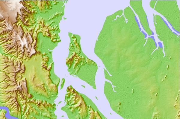
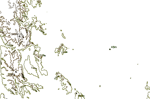

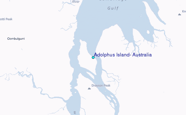
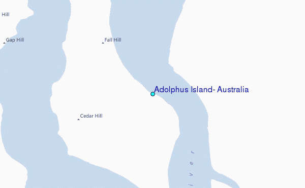
Use this relief map to navigate to tide stations, surf breaks and cities that are in the area of Adolphus Island, Australia.
Other Nearby Locations' tide tables and tide charts to Adolphus Island, Australia:
click location name for more details
 Surf breaks close to Adolphus Island, Australia:
|
||
|---|---|---|
| Closest surf break | Fannie Bay | 257 mi |
| Second closest surf break | Rapid Creek - Bar | 261 mi |
| Third closest surf break | Rapid Creek - Reef | 261 mi |
| Fourth closest surf break | Rapid Creek - Beach | 262 mi |
| Fifth closest surf break | Casuarina (Darwin) | 267 mi |


 Nearest
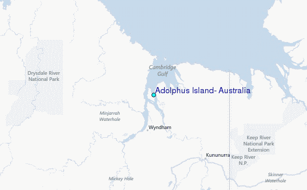